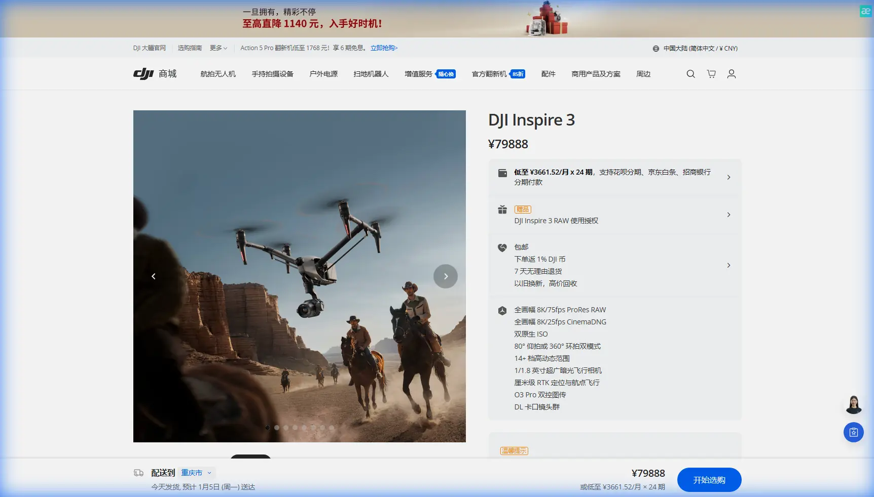
Using Inspire 3 to Capture Remote Construction Sites
Using Inspire 3 to Capture Remote Construction Sites: A Field-First Workflow That Actually Holds Up
META: A practical Inspire 3 workflow for remote construction site capture, with flight planning, altitude strategy, interference control, photogrammetry considerations, and secure data handling for demanding field conditions.
Remote construction projects create a strange kind of pressure for aerial teams. The site is often far from support infrastructure, the schedule is unforgiving, and the client usually wants two things at once: cinematic progress visuals and survey-grade consistency. That combination is where a lot of drone plans fall apart.
The Inspire 3 sits in an interesting position for this kind of work. It is not just a camera platform for pretty flyovers, and it should not be treated like one. In remote construction capture, its value comes from how reliably it can repeat missions, hold transmission integrity, support disciplined imaging workflows, and fit into a team process that has very little room for rework.
What matters most is not simply whether the aircraft can fly the site. It is whether the entire capture chain stays controlled when terrain, distance, signal clutter, and client expectations all start pushing against each other.
The real problem on remote construction sites
Most failed site-capture jobs do not fail because the aircraft cannot get into the air. They fail earlier, in planning, or later, in data review.
A typical remote construction assignment has several competing requirements:
- weekly or biweekly progress documentation
- orthomosaic and photogrammetry outputs that need repeatable overlap
- occasional thermal signature checks on installed equipment, roofing, power runs, or moisture anomalies
- secure handling of footage before it reaches stakeholders
- constrained field charging and limited crew support
- uncertain radio conditions from temporary site electronics, generators, communication trailers, and ad hoc equipment networks
That last point gets ignored far too often. People talk about wind, visibility, and battery cycles, but not enough about interference management. Yet radio and audio-system leakage has long been a serious technical concern in aircraft environments. One of the reference documents behind this article, an avionics test procedure, describes a method for checking crosstalk leakage by injecting a 1020 Hz signal into a receiver path and setting the measured level to 5000 mV before documenting how much that signal bleeds into other systems. It also organizes checks across multiple audio positions: pilot, copilot, observer, and radio rack.
At first glance, that may seem far removed from a construction-drone job. It is not. The operational lesson is simple and very current: when multiple electronic subsystems share space, leakage and unintended interaction are real. On a remote construction site, that principle shows up as unstable monitoring feeds, erratic control confidence near temporary communications gear, poor coordination between crew devices, and noisy field workflows that make troubleshooting slower than it should be.
For an Inspire 3 team, this means you should think like an avionics technician, not just a pilot. Assume electronic interference exists until you have ruled it out.
Why Inspire 3 fits this assignment profile
For remote construction documentation, the Inspire 3 is most effective when used as a disciplined capture platform rather than an improvisational one. Its advantages become clearer in sites where reshoots are expensive.
O3 transmission matters here because the value of a long and stable link is not only about range. It is about confidence in framing, inspection passes, and repeatability over uneven ground where line-of-sight conditions can change from one leg of the flight to the next. On large earthworks, bridge approaches, mountain-adjacent projects, or distributed industrial builds, transmission consistency directly affects whether your mission stays efficient or turns into fragmented manual recovery.
AES-256 also deserves more attention in the construction market than it usually gets. Some remote projects involve critical infrastructure, proprietary construction sequencing, energy assets, or facilities under tight information control. A secure transmission and handling posture is not a luxury; it is often part of the reason a professional team gets selected in the first place.
Then there is hot-swap battery support. On paper, that sounds like convenience. In the field, it is continuity. Remote projects rarely reward downtime. If your team can rotate power quickly and keep the aircraft moving through a planned sequence of mapping blocks, obliques, detail passes, and progress shots, you reduce the chances of changing light conditions ruining dataset consistency.
The altitude question: where Inspire 3 becomes efficient
If the brief is “capture a remote construction site,” the first truly strategic decision is not lens choice. It is flight altitude.
Too low, and you generate beautiful detail but poor operational efficiency. Too high, and the site becomes easier to fly but less useful for engineering review or reconstruction outputs.
For most remote construction photogrammetry missions with Inspire 3, the sweet spot is usually not the lowest safe altitude. It is the lowest altitude that still preserves site-wide efficiency and overlap discipline. In practice, many teams get better results by splitting the job into altitude bands rather than trying to force one flight profile across the entire site.
A workable field approach looks like this:
1. Primary mapping layer at a moderate altitude
Use a consistent altitude for orthomosaic and volumetric documentation across the whole active zone. The goal is stable overlap, clean geometry, and repeatability from one reporting cycle to the next.
This is where GCP strategy matters. If ground control is used, keep the pattern visible from the planned altitude and place points where terrain change, haul roads, stockpiles, and structural edges will benefit the model most. Remote sites often have broad surfaces that look simple from the air but produce weak geometry if the control plan is lazy.
2. Lower oblique passes for vertical development
As soon as structures rise, one altitude is no longer enough. Retaining walls, steel frames, tower cores, crane zones, and façade elements all need oblique capture. A lower secondary band produces stronger reconstruction on vertical surfaces and gives project teams more useful visual reference.
3. Targeted thermal flights at a mission-specific height
Thermal signature work should not blindly copy the photogrammetry altitude. Thermal interpretation depends on the target, environmental conditions, and pixel density requirements. Roofing inspections, electrical infrastructure checks, and moisture investigations each benefit from a different standoff logic.
The key insight: optimal altitude for a remote construction site is usually a layered decision, not a single number.
A practical mission design for remote sites
Here is the workflow I recommend when using Inspire 3 for recurring capture in isolated construction environments.
Start with a communications cleanliness check
Before the first production flight, perform a mini interference survey around your launch area and site edge. You are looking for practical symptoms, not lab perfection:
- monitor transmission stability near trailers, repeaters, and generators
- check whether live view behaves differently at different ground positions
- separate operator tablets, radios, and hotspot devices when possible
- avoid stacking too many active electronics in the same table zone
- document a preferred launch spot and reuse it for repeat missions
This is exactly where the avionics reference becomes relevant. That old test procedure was built around verifying how one signal could leak into adjacent systems. Different era, same engineering mindset. If a full-size aircraft needed structured crosstalk testing across several listening stations, a professional drone crew should not assume a temporary site full of electronics is inherently benign.
Build repeatability into every waypoint plan
For progress tracking, consistency beats artistry. Set your mapping corridors and camera logic so each revisit remains comparable. Construction stakeholders often do side-by-side reviews. If your headings, altitude, and overlap patterns drift every week, comparisons become less useful and the client notices.
Photogrammetry especially punishes inconsistency. Keep your overlap margins healthy, preserve similar sun-angle windows when possible, and maintain the same GCP protocol each cycle. The better your consistency, the more reliable your cut/fill analysis, stockpile measurement, and progress visualization become.
Use Inspire 3’s transmission strength to reduce repositioning
On remote projects, crews waste time constantly moving launch positions because they planned like they were flying a much smaller operational envelope. With a robust transmission setup, you can often cover more of the site from fewer ground stations, provided terrain and visual requirements support it. That cuts setup friction and reduces the chance of introducing variables into repeated missions.
This does not mean stretching operations recklessly or treating BVLOS as a casual checkbox. It means planning your legal and safe operational geometry intelligently so the aircraft works efficiently without forcing unnecessary field moves.
Separate cinematic capture from survey capture
A common mistake is trying to get hero footage during a mapping sortie. Keep them separate.
Survey flights should be boring. That is a compliment. Boring flights are structured, repeatable, and clean.
Cinematic passes can happen afterward, once the documentation mission is complete. Use those flights for stakeholder presentations, project updates, and executive communication. The client may remember the dramatic orbit, but the real long-term value usually sits in the dataset you can reproduce six times without drift.
Security and chain of custody matter more in remote work
Remote construction often means fewer witnesses, fewer fixed procedures, and more ad hoc handling of media. That is exactly why teams should become stricter, not looser.
AES-256 transmission is part of the answer, but not the whole answer. Establish a simple field chain:
- confirm who receives raw imagery
- separate survey datasets from promotional footage
- label mission sets by date, zone, and altitude band
- verify backups before leaving the site
- note anomalies immediately, especially if a transmission or sensor issue appeared during flight
This protects not only the data, but your credibility.
What construction managers actually care about
The people commissioning Inspire 3 work on remote sites usually care less about aircraft specs than drone teams expect. They want answers to operational questions:
- Did earthmoving advance where planned?
- Are materials staged efficiently?
- Are access roads degrading?
- Are installed systems showing unusual heat behavior?
- Can the team compare this week to last week without guesswork?
- Is the site documented well enough to support disputes, scheduling, and reporting?
If your flights answer those questions consistently, the platform earns its place.
That is why details such as interference control and altitude discipline matter so much. They are not technical trivia. They shape whether your deliverable is trusted.
A note on remote-site noise, endurance logic, and planning margins
The second reference document includes civil-aircraft comparison data points such as cabin noise values in the 78 to 85 dB range and operating-life figures reaching 40,000 to 45,000 hours for certain platforms. Those figures are not drone specifications, and they should not be read that way. Their value here is conceptual. They remind us that mature aviation design always evaluates aircraft not just by performance, but by endurance, systems quality, supportability, and operational environment.
That same mindset improves Inspire 3 deployment on construction jobs.
Do not judge the mission only by whether the aircraft completed the route. Judge it by whether the workflow scales over months of repeat capture. Can the crew maintain quality through repeated battery cycles, changing weather windows, and shifting site geometry? Can they operate in a way that reduces fatigue and avoids creeping inconsistency? Can they support the client over the full life of the project, not just the first impressive sortie?
That is the level remote construction work demands.
The best Inspire 3 teams think like systems operators
The drone industry still has too many crews that center everything on the aircraft. The stronger teams center the mission system.
For remote construction capture, that system includes:
- planned altitude bands for different output types
- stable O3 link performance across the site
- secure transmission practices using AES-256
- hot-swap battery discipline to preserve capture tempo
- clean GCP implementation for photogrammetry
- interference awareness grounded in real testing logic
- documented repeatability from one reporting cycle to the next
If you want a remote site workflow that holds up under client scrutiny, this is the standard.
And if you are refining an Inspire 3 operation for construction, infrastructure, or industrial documentation, it often helps to compare notes with teams that have already worked through these variables in the field. If you want to discuss flight altitude strategy, site segmentation, or secure capture planning, you can message a specialist here.
The Inspire 3 is a serious tool for remote construction work, but only in the hands of an equally serious workflow. The aircraft can deliver exceptional imagery and dependable mission performance. The harder question is whether your process turns those strengths into consistent, decision-grade output.
That is where real professional value lives.
Ready for your own Inspire 3? Contact our team for expert consultation.