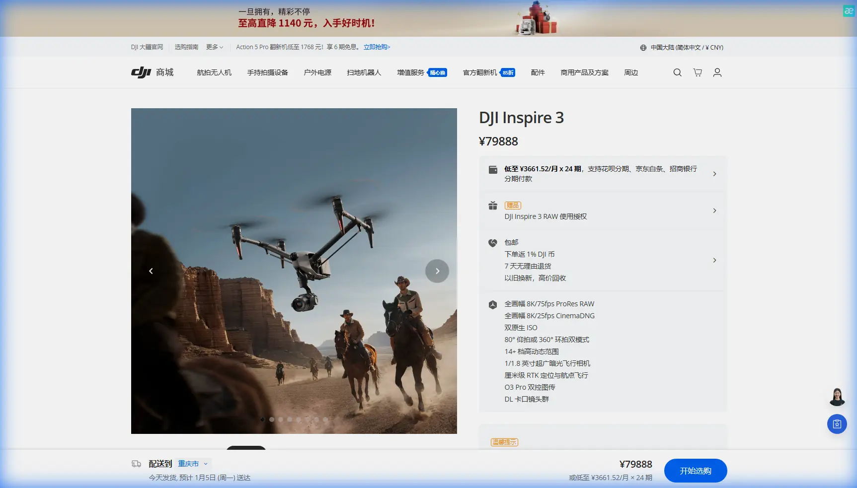
Inspire 3 in Mountain Fields: A Practical Capture Workflow
Inspire 3 in Mountain Fields: A Practical Capture Workflow for Clean Data, Safer Flights, and Better Results
META: A field-tested Inspire 3 mountain workflow for filming and mapping agricultural terrain, with practical guidance on wind, terrain relief, GCP planning, thermal signature awareness, O3 transmission, hot-swap batteries, and stable rotor management.
Mountain fields look simple from a distance. Get airborne and they become a stack of problems.
Light breaks unevenly across terraces. Wind spills over ridgelines in pulses. A signal path that feels solid above the launch point can weaken the moment the aircraft slips behind a shoulder of rock. And if your goal is not just pretty footage but useful field intelligence—photogrammetry, crop documentation, irrigation review, access planning—small errors compound fast.
This is where the Inspire 3 earns its place. Not because it removes complexity, but because it gives an experienced operator enough control to work through it. I’ve used large-format UAV platforms across rough agricultural terrain, and mountain fields always expose the difference between a drone that merely flies well and one that supports disciplined capture.
What follows is a practical how-to built around a real operating mindset for Inspire 3 in mountain farmland, with special attention to stable rotor behavior, structural efficiency, and control logic that matter more in steep terrain than most pilots realize.
Start with the terrain, not the camera
If you are capturing fields in the mountains, your first task is not choosing a lens or deciding whether the mission is cinematic or survey-grade. It is understanding how relief changes the aircraft’s workload.
A drone crossing a flat field sees relatively predictable airflow and line of sight. A drone crossing stepped ground with ravines and tree lines does not. In these places, the aircraft is constantly compensating. Every climb over a terrace edge or lateral move past a ridge introduces subtle load changes on the propulsion system and demands quick stabilization from the flight controller.
That matters operationally because the cleaner the aircraft’s response, the more usable your image set becomes. For photogrammetry, consistency matters at least as much as resolution. If your capture geometry drifts because the platform is repeatedly correcting for gusts, overlap quality suffers. If your horizon control is slightly unsettled during low obliques, post work gets slower. If your path is compromised by terrain-induced signal shadowing, you may end up with an incomplete block and a repeat visit.
So before takeoff, walk the field edge and identify three things:
- The highest obstruction between you and the far end of the mission
- The wind-exposed side of the slope
- A safe loiter zone with clean return access
That preflight discipline does more for mission success than any settings menu.
Why rotor stability matters more than people think
One of the most useful ideas from traditional rotorcraft control design is simple: stable rotor speed is everything. In helicopter systems, reference speed and actual speed are compared continuously. If there is a deviation, control logic adjusts power until the rotor returns to the target state. When the measured speed matches the selected reference, the correction disappears and the system settles.
You do not need to be flying a helicopter to appreciate the significance of that principle. In mountain drone work, every clean shot and every repeatable mapping line depends on the same operational outcome: the aircraft must absorb disturbances without turning them into visible instability.
That is the practical reason I pay attention to how the Inspire 3 behaves during climbing turns along a slope or when decelerating into a crosswind above uneven ground. If the propulsion and control system settle quickly after a disturbance, you protect image sharpness, maintain path fidelity, and reduce wasted battery in constant correction cycles.
The old rotorcraft design literature also describes a shift from mechanically dominated control to electrically commanded state selection—functions such as stop, idle, and flight being selected through electrical logic rather than purely mechanical linkage. For modern UAV operators, the significance is obvious. Reliable electronic state management is not just a convenience; it is what makes precise, repeatable field operations possible when terrain and timing leave little room for improvisation.
In practice, this means you should treat every transition—lift-off, climb to working altitude, lateral traverse, descent to lower terraces—as a flight regime with its own power and stability demands. Watch how the aircraft responds in the first minute. That first minute tells you whether the mission plan matches the valley conditions.
The structure behind the stability
There is another engineering clue worth borrowing from aircraft design: durable aluminum honeycomb core materials became widely valued because they replaced less durable core options in structural components. One cited material family, SYL-3, was qualified for production in stretched and unstretched forms, and its documented mechanical properties included compressive and shear performance as well as node strength. In one table, a typical node strength value reaches 2.15 kN/m for a listed configuration, while density examples begin around 27 in the provided dataset.
Why does that matter to an Inspire 3 operator standing in a mountain field?
Because lightweight stiffness is not an abstract materials lesson. It is the reason a professional aerial platform can remain rigid enough to preserve alignment, damping behavior, and payload stability while still staying light enough to fly efficiently. In rough terrain, a structurally efficient airframe has two direct operational benefits:
- It resists vibration and torsional disturbance better
- It avoids carrying unnecessary mass into climbs, repositioning, and return legs
The result is more predictable footage and better battery economy. When you are running up and down altitude bands over terraced land, every structural efficiency gain shows up as operational margin.
I am not claiming the Inspire 3 is built from the exact material in the cited handbook. That would go beyond the source. The useful connection is broader and grounded: aerospace-grade honeycomb thinking exists because strength-to-weight and durability change what an aircraft can do in the real world. Mountain field missions are exactly the kind of work where that engineering philosophy pays off.
Build the mission around data quality
For agricultural capture in sloped terrain, decide early whether your deliverable is primarily visual, analytical, or both.
If the job is cinematic documentation of fields, tree lines, irrigation channels, and access roads, you can prioritize dynamic pathing and lower-angle reveals. If the output includes photogrammetry, your mission needs stricter discipline. That means overlap planning, altitude consistency relative to terrain, and a GCP strategy that respects elevation changes.
My standard approach with Inspire 3 in mountain agriculture looks like this:
1. Establish a terrain-aware flight block
Do not fly the whole site as one flat-altitude rectangle if the ground varies sharply. Break the area into elevation bands or sub-blocks. This reduces scale inconsistency and helps preserve image quality.
2. Place GCPs where relief actually changes
A lot of teams waste GCPs in easy-to-reach flat spots. Put them where they solve the model: terrace transitions, edge breaks, irrigation corners, and access switchbacks. In mountain photogrammetry, GCP placement is often more valuable than adding another pass.
3. Use obliques selectively
Straight nadir is efficient, but obliques help where terraces, embankments, retaining walls, and tree-edge transitions need definition. The key is keeping the aircraft stable enough that those obliques are consistent.
4. Monitor thermal signature, even if thermal is not the main payload
I do not mean military-style surveillance or anything of that kind. I mean practical environmental awareness. In mountain fields, thermal differences can reveal irrigation anomalies, wet soil pockets, equipment heat sources, and livestock presence near the work zone. Thermal signature awareness can improve both documentation and safety.
The wildlife moment that changed the flight plan
On one mountain field mission, we were running a late-afternoon pass over a set of narrow terraces bordered by scrub and stone. The visual scene looked calm. But the sensor feed showed movement and contrast variation near a shaded boundary at the lower edge of the plot. It turned out to be a deer stepping out from cover, crossing the exact low transit route we had planned for a return shot.
That was not dramatic. It was useful.
The aircraft had enough situational awareness for us to hold position, climb slightly, and reroute without pushing the animal or compromising the mission. In mixed agricultural landscapes, that sort of detection matters. Wildlife, workers, dogs, and vehicles appear suddenly in mountain farms because sightlines are broken. Sensors are not just for image collection; they are part of your decision loop.
This is also one reason I avoid aggressive low passes unless they are truly necessary. A beautiful shot is not worth disturbing the field environment or creating an avoidable risk.
O3 transmission in broken terrain
Mountain flying rewards operators who are honest about signal conditions.
Even with strong transmission systems, ridges, trees, and stone outcrops can interrupt clean line of sight. O3 transmission is useful here because it supports robust control and video feed quality, but the real lesson is not to trust technology blindly. The mission should be designed so that the aircraft spends as little time as possible in terrain-shadowed positions.
A few habits help:
- Launch from a point that sees the majority of the route, not just the takeoff zone
- Avoid running the far leg behind a ridge simply because the map view says the distance is manageable
- Use conservative return thresholds when the route includes descending valleys
- Keep your antenna orientation and pilot position intentional
If the site requires extended standoff planning, coordination, or a more advanced operational profile, discuss the mission architecture first rather than improvising on location. For site-specific planning help, I usually tell teams to message our flight planning desk on WhatsApp: https://wa.me/85255379740 before committing crews and batteries to a difficult mountain block.
Security matters when field data is commercially sensitive
Not every agricultural mission is sensitive, but some are. Seed trials, irrigation layouts, land improvement documentation, and infrastructure surveys may be business-critical. That is why secure transmission and handling practices matter. AES-256-level link security is not just a spec-sheet talking point; it helps protect operational video and mission data when you are working in remote areas with clients who expect professional data hygiene.
Good security practice also means simple field habits:
- Rename and isolate project media properly
- Keep mission notes synchronized with image sets
- Separate exploratory footage from deliverable-grade captures
- Back up before leaving the site if terrain access is difficult
Mountain fields are expensive to revisit. Lose your data discipline and the whole flight day can become a partial write-off.
Hot-swap batteries are not just about speed
People often talk about hot-swap batteries as a convenience feature. In mountain work, they are a continuity feature.
If your aircraft can maintain operational readiness while you cycle power modules efficiently, you reduce downtime between capture windows. That matters when clouds are moving across the valley and your ideal light lasts 12 minutes. It matters when wind rises predictably in late afternoon. It matters when you need one more clean pass over a top terrace before the shadows collapse your texture detail.
The operational advantage is not merely faster turnaround. It is preserving the logic of the mission while conditions are still aligned.
That said, battery confidence should never push you into sloppy margins. Climbing out of lower terrain consumes more than many operators estimate, especially if the aircraft has been working hard in gusts. Be stricter on reserve planning in the mountains than you would be on flat cropland.
Can Inspire 3 handle BVLOS-style planning assumptions?
Where regulations and permissions allow, some operators think in BVLOS terms even for missions they will execute within visible limits. That is often smart. The planning discipline—route segmentation, communication checks, terrain analysis, emergency contingencies—improves outcomes regardless of the legal operating category.
For Inspire 3 mountain field work, BVLOS-style thinking is helpful in three ways:
- It forces you to map signal risk before takeoff
- It reduces lazy assumptions about return paths
- It makes you define contingencies for obscured terrain sectors
Even if you remain fully within visual line of sight, borrowing that planning rigor makes your flights cleaner and safer.
A practical Inspire 3 mountain-field workflow
If you want one repeatable method, this is the one I recommend:
Pre-mission
Review slope, wind direction, sun angle, and field access. Mark GCP positions across elevation changes, not just in convenient flat spaces.
On site
Stand where the aircraft will have the best line of sight for the longest part of the route. Watch vegetation movement on multiple terrace levels; wind at launch point can mislead you.
First lift
Climb and hold. Test lateral stability and feed integrity before beginning the real run. If the aircraft is making frequent corrections, revise altitude or route immediately.
Main capture
Fly in terrain-aware blocks. Keep overlap consistent. Add obliques where retaining walls, terrace edges, and drainage cuts need stronger definition.
Environmental watch
Use sensor awareness to detect workers, animals, vehicles, and heat anomalies around the field perimeter. Give the site space to behave naturally.
Power discipline
Use hot-swap efficiency to maintain tempo, but plan reserves for uphill returns and gust penalties.
Data wrap
Verify image completeness before leaving. Mountain revisits waste time, labor, and ideal weather.
The real value of Inspire 3 here
Inspire 3 is not just a flying camera for dramatic landscapes. In mountain agriculture, its value comes from how well it supports disciplined execution under changing terrain, signal, and airflow conditions. The old engineering ideas in aircraft materials and rotor control still matter: rigid but efficient structures, stable speed regulation, and dependable electronic state control all translate into practical field advantages.
And that is the point. Better data. Cleaner footage. Fewer repeats. Less friction between the aircraft, the land, and the mission.
Ready for your own Inspire 3? Contact our team for expert consultation.