Inspire 3 in Dusty Field Production: A Real
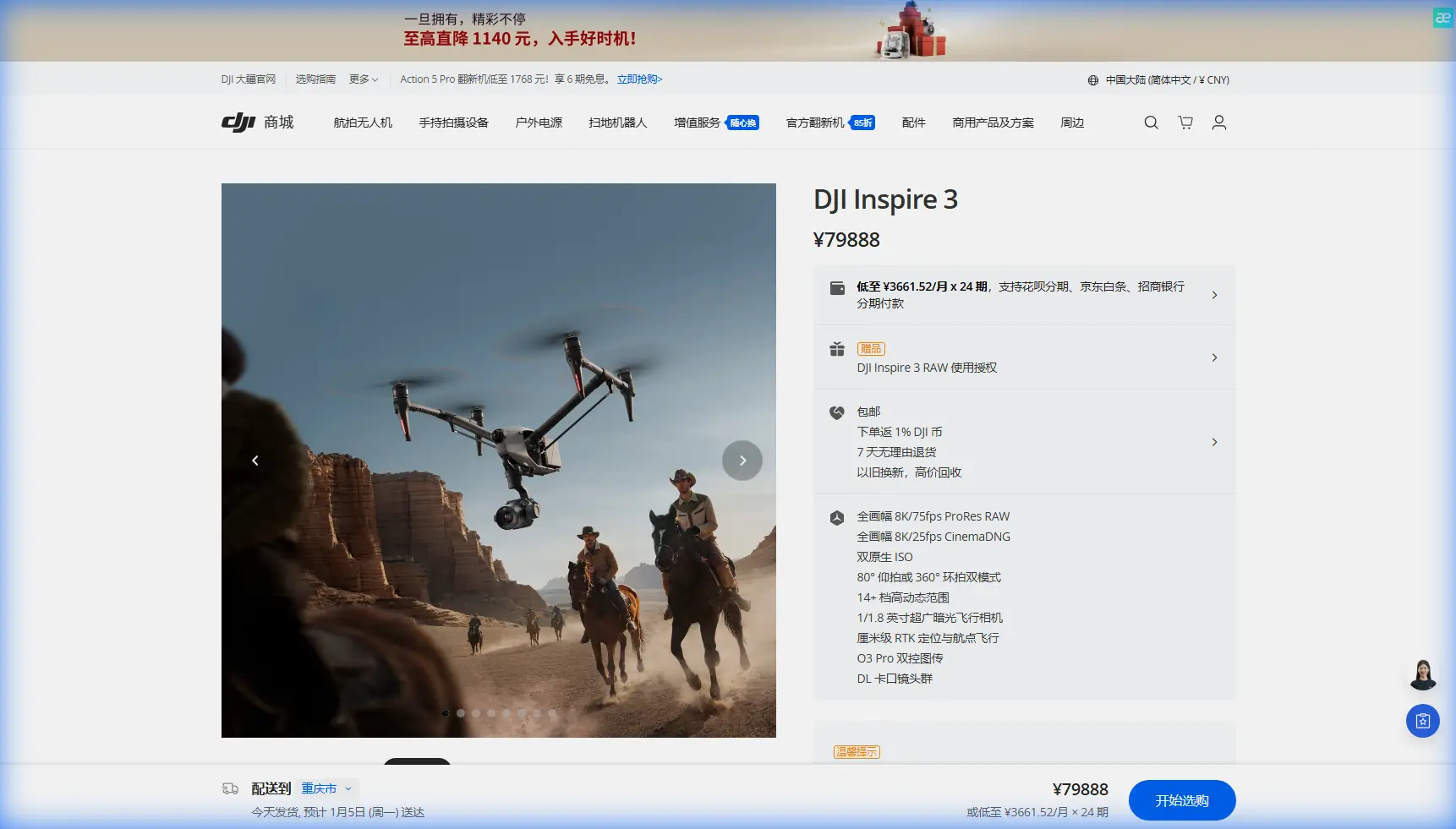
Inspire 3 in Dusty Field Production: A Real-World Case Study in Stability, Trim, and System Awareness
META: A field-tested Inspire 3 case study on filming dusty agricultural landscapes, with expert insight into system monitoring, aerodynamic balance, wildlife-safe operation, and why aviation design principles matter.
I’ve spent enough time around aircraft systems to know that the gap between a drone that merely flies and a drone that works professionally is rarely about headline specs alone. In the field, especially over dry agricultural land, success comes from how the aircraft handles imperfect air, contamination, workload, and surprises.
That is exactly where the Inspire 3 becomes interesting.
This article looks at the Inspire 3 through a practical lens: a dusty field shoot, a wildlife encounter, and the less glamorous but more decisive layer underneath cinematic results—system logic and aerodynamic balance. The references behind this discussion come from civil aircraft design material, not drone marketing copy, and that matters. Full-scale aviation has spent decades refining how aircraft communicate status, manage warnings, and maintain controllability despite small physical imperfections. Those same engineering ideas are highly relevant when you send an Inspire 3 low over dry ground for repeatable image capture.
The job: mapping and cinema capture over dry fields
The mission was straightforward on paper: collect stable, repeatable passes over dry farmland for a mixed-use deliverable. The client wanted two outputs from the same operational window. First, high-quality visual footage for land presentation and seasonal documentation. Second, image sequences suitable for photogrammetry, tied to GCP-based ground reference points for later measurement and comparison.
The hard part was not framing. It was dust.
Dust changes everything. It softens contrast near the surface, complicates low-altitude tracking, stresses moving components during repeated landings, and raises pilot workload because every takeoff and touchdown becomes a contamination event. Add warm midday air and open-field crosswinds and the aircraft is constantly being asked to correct, compensate, and report its own condition clearly.
For a platform like the Inspire 3, this is where professional value emerges. Not because it was built for abuse, but because high-end field work rewards aircraft that let the crew stay ahead of small problems before they become mission-ending ones.
Why old-school aircraft system architecture still matters to an Inspire 3 operator
One of the most useful ideas in the reference material comes from the civil aircraft design handbook’s breakdown of system categories. On page 787, the text describes an independent instrument layer for data not tied to a single subsystem, including recorders and devices that track aircraft behavior. It also identifies a central computer system, listed as system 31, which is used to present checklists, emergency procedures, company rules, integrated powerplant and aircraft information, and both visual and audible warnings.
That sounds like transport-category aircraft language, but the operational lesson translates directly to Inspire 3 work.
In dusty field operations, the pilot cannot afford to think of battery status, transmission integrity, thermal load, positioning quality, obstacle awareness, gimbal condition, and return logic as unrelated items. They must behave like a coherent information environment. A professional drone is safest and most useful when its “central brain” does not simply collect data, but prioritizes it into warnings, status cues, and decisions the operator can actually act on.
This matters more than many pilots realize.
In a clean test flight near pavement, you can get away with casual monitoring. In a dusty field, that same mindset breaks down. Takeoff may briefly reduce visibility. Heat shimmer can distort perception. Dry soil can hide uneven landing zones. The practical significance of a centralized warning-and-display philosophy is that it reduces cognitive fragmentation. Instead of chasing separate concerns one by one, the operator gets a more integrated picture of aircraft state.
For Inspire 3 crews working long agricultural runs, that integration is what preserves consistency. It supports better go/no-go judgments, cleaner repeated passes, and fewer rushed decisions when conditions change.
A wildlife encounter that changed the flight profile
The most memorable moment from this field operation had nothing to do with camera movement.
On the third mapping pass, a roe deer broke from the edge of a dry drainage strip and crossed into the working area. At nearly the same time, a cluster of low birds lifted from stubble at the far side of the frame. This is where a responsible civilian flight stops being about “getting the shot” and starts being about managed separation.
The crew widened lateral distance, raised altitude, and paused the closer segment of the route. That sounds simple. In reality, it required immediate sensor interpretation in a dusty visual environment, stable control inputs, and confidence that the aircraft would remain predictable during a quick profile change.
This is also where the phrase thermal signature becomes more than jargon. Even if your primary deliverable is visual, understanding heat contrast in the environment changes how you assess animal presence, sun-baked ground behavior, and air movement over dry surfaces. In wildlife-sensitive agricultural flights, thermal context can guide timing and route planning, especially near brush lines, irrigation channels, or shaded margins where animals may emerge unexpectedly.
The operational significance is clear: the Inspire 3 is not just a camera carrier. In professional use, it becomes part of an observation workflow in which scene awareness protects both the mission and the environment.
Aerodynamic trim is not an abstract textbook idea
The second reference source, from the structural design volume, discusses trim tabs and correction tabs in the tail. On page 504, it explains that a fixed correction tab can be adjusted on the ground after test flight to cancel out aerodynamic imbalance caused by manufacturing variation. Once set to the required direction and angle, it is not changed again. The same section also describes a controllable trim tab hinged at the rear of the tail surface, where pilot input creates a balancing moment against the main control surface.
Why should an Inspire 3 operator care about a manned aircraft tail detail?
Because the principle is universal: even tiny imbalances matter in precision flight.
A drone used for field imaging has its own versions of aerodynamic and mechanical asymmetry. A slightly contaminated arm, uneven prop wear, a minor gimbal balance shift, a sensor housing affected by dust, or repeated operation in gusty side-flow can all create subtle corrective demands. The aircraft may still fly, but “fly” is not the same as “hold exact attitude and repeat a photogrammetry line with clean overlap.”
The handbook’s trim-tab discussion is valuable because it reminds us that aircraft designers assume imperfection from the start. They design methods to compensate for it. For Inspire 3 users, the practical takeaway is disciplined preflight and postflight consistency. Watch for repeatable yaw bias. Note unusual correction behavior in hover. Compare how the aircraft settles after braking at the end of each pass. If the machine is always asking the control system to carry a small offset, your imagery will show it before your eye does.
That becomes especially relevant in dusty field capture, where low-level turbulence and visual softness can hide the beginning of a control-quality issue.
Dust changes landing logic more than flight logic
Another part of the civil aircraft reference breaks down landing gear functions in plain engineering terms: support on the ground, deployment and retraction mechanisms, braking, wheel stopping, directional control, and position warning. While the Inspire 3 is not a conventional wheeled aircraft, the design mindset is useful. Ground contact is not an afterthought. It is a system.
That framing helps in field work.
Most crews focus on airborne performance, but dusty production days are often won or lost on the ground. Each landing is a chance to ingest contamination, disturb loose debris, or compromise the next takeoff area. In full-scale aviation, position indication and warning around ground-support systems are treated seriously for a reason. The equivalent Inspire 3 discipline is choosing landing direction with rotor wash in mind, minimizing unnecessary touchdown cycles, and using hot-swap batteries to avoid avoidable reboots and relocation under changing light.
Hot-swap capability is not just convenient. In agricultural imaging, it preserves route continuity. When you’re trying to maintain similar sun angle, field shadow geometry, and overlap quality for photogrammetry, interruption carries a measurable cost. Anything that shortens turnaround while keeping the aircraft’s operational context stable improves the final dataset.
Image quality is only half the deliverable
Many readers looking at Inspire 3 are really deciding between cinema value and survey utility. In practice, field operators often need both from one sortie window.
That is where workflow discipline matters. If the mission includes photogrammetry, route repeatability and camera consistency become as important as dynamic footage. If GCP markers are part of the job, their value is only realized when the airborne capture is systematic enough to support accurate reconstruction. A drone can produce beautiful clips and still produce weak mapping data if roll behavior, speed variation, and pass geometry are inconsistent.
This is another place where the central-system philosophy from the aircraft handbook earns its relevance. When status, warnings, and mission cues are easy to interpret, the pilot has more mental bandwidth to protect overlap patterns, maintain line spacing, and keep the camera behavior steady across the entire block.
For larger agricultural properties, this also intersects with transmission resilience. O3 transmission is not just a convenience feature on a spec sheet. In real field work, stable link performance lets the operator maintain smoother mission oversight at distance and make measured corrections without overcontrolling. And when data sensitivity matters—land documentation, proprietary crop layouts, or client site imagery—AES-256 encryption has practical value, not theoretical value. It supports secure handling in commercial workflows where footage and geospatial output may be commercially sensitive.
The Inspire 3 and the question of BVLOS readiness
A quick reality check: many agricultural and industrial users are curious about BVLOS operations. The right answer is always regulatory, procedural, and site-specific. But even where the mission remains within visual line of sight, BVLOS-style thinking improves Inspire 3 planning.
What does that mean on a dusty field shoot?
It means building missions around margin rather than optimism. Clear contingency points. Defined lost-link behavior. Conservative battery reserves when heat and wind are active. Better route segmentation. Wildlife-aware buffers. A disciplined return corridor. Full-scale aviation has long treated checklists, warnings, and configuration awareness as serious operational tools. Drone teams should do the same, whether or not the legal operation extends beyond visual line of sight.
What this case taught us about the Inspire 3
The dusty field mission was successful, but not because the aircraft simply “handled it.” It succeeded because the Inspire 3 fit into a professional operating method shaped by classic aviation logic.
Two details from the source materials stand out.
First, the civil aircraft handbook’s description of a central computer system identified as system 31, responsible for presenting checklists, emergency procedures, and visual and audible warnings, highlights the value of integrated situational awareness. In Inspire 3 operations, that same principle reduces pilot overload and helps protect mission consistency under dust, heat, and changing field conditions.
Second, the structural design handbook’s explanation that a fixed correction tab is set after test flight to counter aerodynamic imbalance is a reminder that precision aviation always anticipates small asymmetries. For Inspire 3 crews, the equivalent is recognizing and correcting subtle flight, balance, or component issues before they degrade imagery or safety margins.
That combination—system awareness plus balance discipline—is what separates casual operation from dependable field performance.
A practical operator’s checklist mindset
Before the next dusty agricultural flight with an Inspire 3, I’d suggest thinking less like a content creator and more like an aircraft systems manager.
- Is the landing area chosen to reduce dust recirculation?
- Will battery swaps preserve mission continuity?
- Are you watching for subtle control bias, not just obvious faults?
- Is your route built to protect overlap for photogrammetry and spacing from wildlife?
- Can your transmission link support deliberate, not reactive, flying?
- Have you planned around environmental heat signatures, not just visible conditions?
Those are the questions that produce professional output.
If you’re building an Inspire 3 workflow for agriculture, land documentation, or mixed cinema-and-mapping jobs, you can message a field operations specialist here to discuss route planning, secure data handling, and deployment considerations.
The Inspire 3 is at its best when treated not as a flying camera alone, but as an aircraft system operating inside a real environment—dusty, dynamic, and occasionally interrupted by a deer that ignores your schedule.
Ready for your own Inspire 3? Contact our team for expert consultation.