Inspire 3 for Coastal Forest Work: A Field Tutorial That
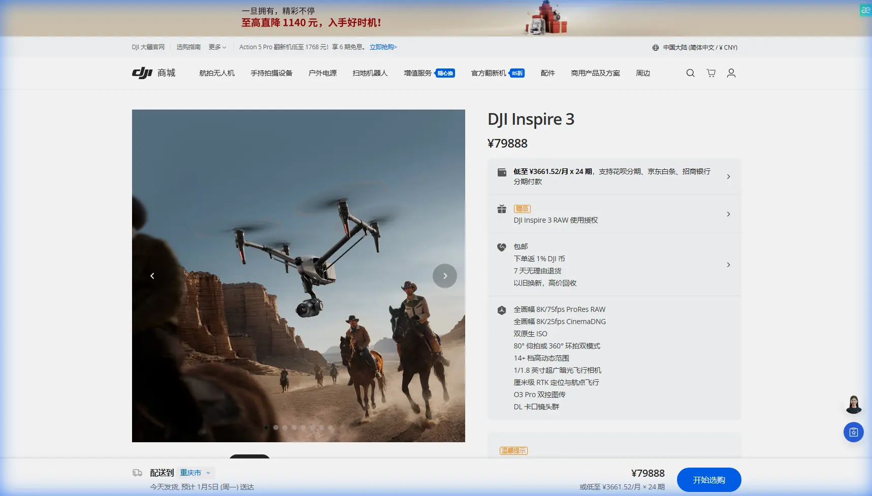
Inspire 3 for Coastal Forest Work: A Field Tutorial That Starts With the Small Stuff
META: Expert tutorial on using DJI Inspire 3 for coastal forest imaging, photogrammetry, thermal-adjacent planning, and reliable field operations shaped by aviation-grade material and fastener lessons.
When people talk about filming or mapping forests along the coast with the Inspire 3, the conversation usually jumps straight to lenses, flight paths, or whether O3 transmission will hold up near wet terrain and dense canopy. Those are valid concerns. But if you’ve spent real time in the field, you learn something less glamorous and far more useful: success often depends on tiny engineering details that most operators never think about until a job goes sideways.
Coastal forests are hard on equipment. Salt-laden air creeps into connectors. Humidity lingers. Temperature shifts between sea breeze, shaded understory, and sunlit clearings can stress cables and mounted accessories. And when you’re trying to collect clean visual data for photogrammetry or repeatable cinematic passes above tree lines, minor hardware issues can quietly ruin the mission long before the aircraft throws an obvious warning.
That’s why this Inspire 3 tutorial starts from an unusual place: aviation material standards and thread tolerances. Not because the drone operator needs to become an aircraft engineer, but because those details explain what robust field practice actually looks like.
Why coastal forest work exposes weak points fast
Forests near the coast create a strange operating envelope. You may launch in open air with decent satellite visibility, then move over a dense canopy that limits visual reference and complicates recovery options. Moisture is everywhere. So are airborne contaminants. Even when the aircraft performs beautifully, your accessories, cable routing, and mounting security become critical.
This matters for Inspire 3 crews using add-ons. A third-party monitor hood, external data handling setup, anti-reflective tablet bracket, or specialized landing gear protection can genuinely improve usability. I’ve seen a rugged third-party CrystalSky-style monitor mount and sun hood combination make a major difference for shoreline-edge operations, simply because the pilot could maintain better screen readability under variable glare. That kind of accessory enhancement sounds minor on paper. In practice, it reduces framing errors, improves waypoint confidence, and helps the crew spot shifting wind patterns above the treetops.
But accessories introduce new failure points. Extra wiring. Extra mechanical interfaces. Extra vibration paths. That’s where the source material becomes surprisingly relevant.
The lesson from aviation cable standards: don’t ignore environmental stress
One of the reference documents focuses on aircraft wiring and non-metallic materials. Even through imperfect extraction, several operational facts are clear. It references temperature shock testing at -65 ± 2°C, low-temperature winding after 4 hours, and a winding test where the material must not crack. It also notes electrical withstand performance such as 2500V for 5 minutes without breakdown, plus insulation resistance after humidity exposure of at least 1.5 × 10² MΩ·km.
You do not need those exact test conditions for a civilian Inspire 3 setup in a coastal forest. What you do need is the engineering mindset behind them.
Here’s the practical translation:
1. Cable flexibility matters more than most operators think
Any added cable on your rig—monitor cable, accessory power lead, transmission support lead, or data tether in the ground workflow—should be chosen and routed as if it will be repeatedly flexed in a damp, changing environment. The source standard’s “no cracking after winding” requirement exists for a reason. If insulation embrittles or fatigues, failure may not appear as total loss. It may show up first as intermittent data behavior, noise, or unexplained accessory resets.
For Inspire 3 coastal forest work, that means:
- avoid tight bend radii near clamps
- leave controlled slack where the airframe or controller setup moves
- inspect cable jackets after each salt-air session
- treat “still works” as different from “still reliable”
A cable that survives bench setup can still fail after repeated transport, cold starts, and humid field deployment.
2. Moisture resistance is not a spec-sheet footnote
The aviation reference highlights insulation resistance after damp testing. That is directly relevant to coastal field work. In dense forest near water, condensation can build during staging, especially if gear moves from an air-conditioned vehicle into warm outdoor air. Once moisture gets involved, weak insulation and poorly protected connectors become unpredictable.
On an Inspire 3 crew, this most often affects:
- charging area discipline
- lens and media handling
- controller-side accessories
- cable ends stored loose in cases
- third-party mounting electronics
If you want stable O3 transmission performance and clean operational rhythm, keep accessory electrical paths as dry and protected as possible. Reliability starts before takeoff.
The lesson from aircraft thread standards: mounted accessories should be treated like flight hardware
The second reference document deals with thread standards and fasteners. Again, this looks remote from an Inspire 3 guide until you’ve watched a small mounted part loosen halfway through a coastal day.
The reference explicitly states that limit dimensions are the final dimensions, and for coated threads they refer to the post-plating dimensions. It also includes numerical examples of thread tolerances and bottom-radius limits, including very small dimensions such as 0.10 to 0.150 mm in a thread root radius table, and external thread limit dimensions for 4h6h threads.
For a drone operator, the significance is simple: fit quality is not cosmetic. It defines whether a mounted part stays stable under vibration and repeated use.
Where this shows up on Inspire 3 jobs
If you’re adding a third-party tablet mount, SSD management bracket, transport retention part, or any custom rigging around the controller ecosystem, thread quality and final installed fit matter more than nominal size on the package.
A screw can be “the right size” and still be wrong in service because:
- coating changed the final fit
- tolerances are sloppy
- thread engagement is too shallow
- the mount bottoms out before clamping
- vibration slowly walks the fastener loose
Coastal forest operations amplify this because crews often work quickly between openings in wind and light. Gear gets assembled on uneven ground, moved from vehicle to launch point, and adjusted repeatedly. If your accessory mount depends on wishful tightening rather than proper thread engagement, it will eventually move.
My field rule for Inspire 3 support gear is blunt: if the accessory influences pilot view, controller ergonomics, or media security, inspect it with the same seriousness you’d give props and batteries. Not equal risk, but the same discipline.
Building a coastal forest workflow around Inspire 3
Now let’s connect those engineering lessons to an actual mission workflow.
Step 1: Define whether your output is cinematic coverage or measurable data
Inspire 3 can serve both visual storytelling and site documentation roles, but your planning changes immediately depending on the outcome.
If your goal is photogrammetry of forest edges, canopy breaks, dune-transition vegetation, or coastal restoration plots, you need:
- repeatable overlap
- altitude consistency
- reliable camera geometry
- disciplined GCP placement when the site permits it
If your goal is cinematic forest capture, priorities shift toward:
- path smoothness
- horizon control near coastline
- dynamic range planning in mixed canopy light
- transmission confidence as the aircraft crosses dark, textured terrain
The mistake is trying to improvise both at once. Coastal forests punish indecision.
Step 2: Use GCPs where the vegetation pattern allows them
Photogrammetry in forested environments is always constrained by canopy. Ground control points help, but only if they are visible and positioned in meaningful openings. Along coastal margins, that often means:
- trail intersections
- exposed sandy clearings
- service roads
- shoreline transition zones
- managed edges near infrastructure
If GCP visibility is poor, don’t pretend the map quality will somehow sort itself out later. Plan your deliverable around what the environment will actually support.
Step 3: Treat transmission planning as part of route design
O3 transmission is strong, but dense trees, humidity, and terrain transitions can still affect signal behavior. In coastal work, line-of-sight can look deceptively clean from the launch point while the aircraft is actually moving into layers of clutter.
A better method:
- choose a launch site with elevation or open frontal exposure
- keep key turns over areas with stronger visual and radio confidence
- avoid burying the route deep behind canopy walls unless your operational framework supports it
- plan conservative return geometry
If your organization is operating under a lawful BVLOS framework, route discipline becomes even more important. Forest plus coastline is not the place for lazy assumptions about link margin.
Step 4: Build battery rhythm around humidity and transport time
Hot-swap batteries are one of the most practical advantages on professional jobs because they reduce downtime and preserve momentum. In a coastal forest setting, though, battery handling needs more structure than usual.
Use a simple sequence:
- Keep staging cases closed as long as possible.
- Move only the next battery set into the active prep area.
- Check contacts visually before installation.
- Minimize open exposure during mist, sea spray, or blowing sand.
- Rotate packs so none sit unnecessarily in the damp field environment.
Hot-swap capability is about more than speed. It preserves mission continuity, which matters when tide, wind, and light all change within the same operating window.
What about thermal signature?
The Inspire 3 is not a thermal platform in its standard form, so it would be misleading to frame it as your primary thermal signature tool for coastal forestry analysis. But the concept still matters in planning. If the client is thinking about plant stress, water pathways, or habitat edge changes typically associated with thermal workflows, clarify early that Inspire 3 is best used for high-end visual acquisition, scene reconstruction, and repeatable imaging. Pair it with the right sensor platform if true thermal analysis is required.
That distinction saves time and protects trust.
A real-world accessory note that actually matters
One of the best upgrades I’ve seen for coastal forest operations was not glamorous at all: a third-party anti-glare monitor hood with a reinforced mount for the controller setup. It improved readability under shifting sun and reflected water glare, which reduced hesitation during low-contrast scene composition near the tree line. The benefit wasn’t aesthetic. It shortened decision time and reduced pilot fatigue.
If you want a practical recommendation for configuring a similar field setup, you can message the team here: ask about a coastal-ready Inspire 3 monitor setup.
That kind of accessory only works if the mount is mechanically sound and the cable routing is disciplined. Which brings us back to the source references. Material resilience and thread fit are not abstract engineering trivia. They are the hidden layer of mission reliability.
A checklist I’d use before flying Inspire 3 over coastal forest
Mechanical
- Verify every accessory screw is fully seated and not relying on partial thread engagement.
- Check for mount wobble after transport.
- Inspect quick-adjust brackets for creep or slippage.
Electrical
- Look for cable jacket wear, especially near bends.
- Confirm connectors are dry and clean.
- Replace any lead that has gone stiff, glossy, or kinked from repeated use.
Mission planning
- Separate cinematic objectives from mapping objectives.
- Decide whether GCP deployment is realistic in the terrain.
- Design routes with signal confidence in mind, not just visual ambition.
Environmental
- Watch salt haze, not just rain.
- Account for glare from water edges when choosing monitor accessories.
- Use battery staging that limits moisture exposure.
The bigger takeaway
The Inspire 3 is a sophisticated aircraft, but coastal forest success is rarely about headline specs alone. The operators who get consistent results are usually the ones who respect the boring details: cable condition, connector protection, mount tolerances, battery handling, and route discipline.
That is exactly why the two reference documents matter. One points to the value of cable insulation surviving stress, moisture, and repeated bending, with hard benchmarks like 2500V/5min breakdown resistance and low-temperature flexibility at -65 ± 2°C. The other reminds us that thread geometry and final dimensions are what determine secure assembly in the real world, not just the label on the fastener bin.
Translate those lessons correctly, and your Inspire 3 workflow becomes cleaner, steadier, and more trustworthy in one of the trickiest civilian environments to capture well.
Ready for your own Inspire 3? Contact our team for expert consultation.