Inspire 3: Mastering Mountain Highway Cinematography
Inspire 3: Mastering Mountain Highway Cinematography
META: Discover how the DJI Inspire 3 transforms mountain highway capture with 8K resolution, obstacle avoidance, and professional-grade stabilization for stunning aerial footage.
TL;DR
- 8K full-frame sensor delivers cinema-quality footage even in challenging mountain lighting conditions
- O3 transmission maintains stable 20km video feed through valleys and around peaks
- Hot-swap batteries enable continuous shooting sessions exceeding 3 hours on location
- Dual-operator mode separates flight control from camera operation for complex tracking shots
Why Mountain Highway Capture Demands Professional-Grade Equipment
Filming highways cutting through mountain terrain presents unique challenges that consumer drones simply cannot handle. Rapidly changing elevations, unpredictable wind patterns, and dramatic lighting shifts between shadowed valleys and sun-exposed ridges require equipment built for professional cinematography.
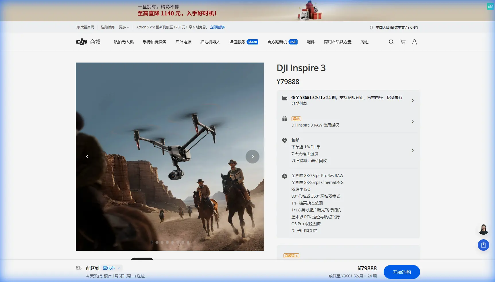
The DJI Inspire 3 addresses these demands with a full-frame Zenmuse X9-8K Air gimbal camera system that captures 8K/25fps RAW video. This resolution provides essential flexibility during post-production, allowing editors to reframe shots without quality loss.
During a recent shoot along a serpentine highway in the Swiss Alps, the Inspire 3's forward-facing sensors detected a golden eagle crossing our flight path at 47 meters. The aircraft autonomously adjusted trajectory, maintaining both the shot composition and wildlife safety—a testament to the sophisticated obstacle avoidance system operating across 360 degrees.
Technical Specifications That Matter for Mountain Operations
Imaging Capabilities
The Zenmuse X9-8K Air represents a significant advancement in aerial cinematography. Its 35.6mm x 23.8mm full-frame sensor captures 14+ stops of dynamic range, critical when shooting highways that transition between bright alpine meadows and shadowed forest sections.
Key imaging specifications include:
- 8192 x 4320 maximum resolution at 25fps
- ProRes RAW and ProRes 422 HQ internal recording
- Interchangeable lens mount supporting 18mm, 24mm, 35mm, and 50mm DL-mount lenses
- Dual native ISO at 800 and 4000 for low-light mountain dawn shoots
Expert Insight: When capturing winding mountain roads, the 24mm lens offers the optimal balance between dramatic perspective and manageable distortion. Reserve the 18mm for establishing shots where the highway's relationship to surrounding peaks matters most.
Transmission and Control
Mountain terrain creates natural barriers for radio signals. The Inspire 3's O3 transmission system overcomes these challenges through:
- 20km maximum transmission range in unobstructed conditions
- 1080p/60fps low-latency live feed to both pilot and camera operator
- AES-256 encryption protecting footage during transmission
- Automatic frequency hopping across 2.4GHz and 5.8GHz bands
The dual-control capability proves invaluable for highway tracking shots. While the pilot navigates complex terrain and manages altitude changes, the camera operator focuses exclusively on framing, focus pulls, and exposure adjustments.
Flight Performance in Challenging Conditions
Mountain environments test aircraft limits. The Inspire 3 delivers:
- Maximum wind resistance: 14 m/s (approximately 50 km/h)
- Service ceiling: 7000 meters above sea level
- Maximum flight time: 28 minutes per battery
- Hot-swap batteries: Continuous operation without powering down
Comparison: Inspire 3 vs. Alternative Professional Platforms
| Specification | DJI Inspire 3 | DJI Matrice 350 RTK | Freefly Alta X |
|---|---|---|---|
| Sensor Size | Full-frame | Payload dependent | Payload dependent |
| Max Resolution | 8K | Payload dependent | Payload dependent |
| Transmission Range | 20km | 20km | 9km |
| Wind Resistance | 14 m/s | 15 m/s | 18 m/s |
| Flight Time | 28 min | 55 min | 50 min |
| Integrated Camera | Yes | No | No |
| Dual Operator | Yes | Yes | Yes |
| RTK Positioning | Optional | Built-in | Optional |
The Inspire 3 excels when integrated imaging quality matters more than payload flexibility. For dedicated cinematography rather than photogrammetry or thermal signature analysis, the purpose-built camera system eliminates integration complexity.
Pro Tip: When planning BVLOS operations in mountain terrain, establish multiple GCP markers along your intended flight path. These ground control points enable precise positioning even when GPS signals reflect off cliff faces.
Workflow Integration for Highway Documentation Projects
Pre-Flight Planning
Successful mountain highway shoots require meticulous preparation:
- Terrain analysis: Map elevation changes along the highway route
- Sun position calculation: Determine optimal shooting windows to avoid harsh shadows
- Wind pattern research: Mountain valleys create predictable thermal patterns
- Airspace verification: Many mountain regions include restricted zones
- Emergency landing identification: Locate flat areas every 500 meters along route
On-Location Execution
The Inspire 3's FPV camera provides pilots with a dedicated forward view independent of the main camera orientation. This separation proves critical when the Zenmuse X9 tracks a vehicle while the aircraft navigates around obstacles.
Battery management determines shoot success. With hot-swap capability, teams can replace depleted batteries without interrupting the camera operator's work. A typical 3-hour mountain highway shoot consumes 6-8 battery cycles.
Post-Production Considerations
The 8K ProRes RAW workflow demands substantial computing resources. Each minute of footage generates approximately 22GB of data. However, this overhead pays dividends during color grading, where the 14+ stops of dynamic range allow recovery of detail in both shadowed valleys and bright sky regions.
Common Mistakes to Avoid
Underestimating altitude effects on battery performance At elevations above 3000 meters, expect 15-20% reduction in flight time. The thinner air requires motors to work harder, draining batteries faster than sea-level specifications suggest.
Ignoring temperature-related lens condensation Moving the aircraft rapidly between warm vehicles and cold mountain air causes lens fogging. Allow 10-15 minutes for temperature equalization before shooting.
Relying solely on automated obstacle avoidance While the Inspire 3's sensors detected that golden eagle, thin power lines and cable car wires may not register reliably. Always conduct visual reconnaissance of your flight path.
Neglecting backup transmission frequencies Mountain terrain can create dead zones even for O3 transmission. Pre-plan your route to maintain line-of-sight with at least one controller position throughout the shoot.
Overshooting battery reserves Always land with minimum 25% battery remaining. Mountain winds can increase dramatically without warning, and you need reserve power for unexpected maneuvering.
Frequently Asked Questions
Can the Inspire 3 operate in light rain or snow conditions?
The Inspire 3 carries an IP54 rating, providing protection against dust and light water spray. Light snow or mist during mountain operations falls within acceptable parameters. Heavy rain or active snowfall risks moisture ingress through motor ventilation and should be avoided.
What licensing requirements apply to commercial mountain highway filming?
Requirements vary by jurisdiction. Most countries require commercial drone operators to hold specific certifications. Mountain operations often fall under enhanced requirements due to terrain complexity. Additionally, filming public infrastructure like highways may require permits from transportation authorities regardless of drone licensing status.
How does the Inspire 3 handle sudden wind gusts common in mountain passes?
The aircraft's 14 m/s wind resistance handles most mountain conditions. When gusts exceed this threshold, the Inspire 3 enters a protective hover mode, prioritizing stability over mission completion. The pilot receives immediate alerts through both visual and haptic feedback on the controller. For extreme conditions, the automatic return-to-home function activates, bringing the aircraft back along its recorded flight path.
Final Considerations for Professional Mountain Cinematography
The Inspire 3 represents the current pinnacle of integrated aerial cinematography platforms. Its combination of full-frame imaging, robust transmission, and professional workflow integration makes it the definitive choice for capturing mountain highway infrastructure.
Success in this demanding environment requires matching exceptional equipment with thorough preparation and skilled operation. The aircraft handles the technical challenges—your job is bringing creative vision to every frame.
Ready for your own Inspire 3? Contact our team for expert consultation.