Inspire 3 for Remote Coastline Delivery: A Technical Review
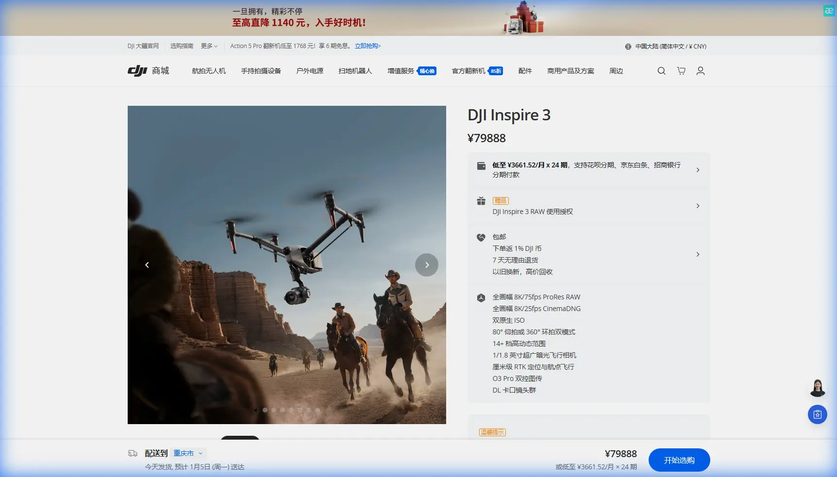
Inspire 3 for Remote Coastline Delivery: A Technical Review Through the Lens of Spatial Analysis
META: A technical review of Inspire 3 for remote coastline delivery, mapping, and spatial decision support, with operational insight on GIS analysis, transmission reliability, hot-swap workflow, and data security.
Remote coastline work exposes the difference between a drone that merely flies and a drone that can support decisions.
That distinction matters with the Inspire 3. In a coastal environment, the aircraft is not just capturing pretty footage or flying a route over open water. It is feeding a chain of spatial decisions: where erosion is accelerating, which access corridor is still usable, how shoreline shape has shifted, whether a small landing point remains practical, and how safely data can move from aircraft to field team and back into a GIS workflow. If the platform fails at any point in that chain, the mission becomes slower, less defensible, and harder to repeat.
For readers evaluating the Inspire 3 for delivering coastline data and operational intelligence in remote areas, the most useful way to judge it is not by headline specs alone. It is by asking whether the aircraft fits the real logic of coastal operations: collect accurate spatial information, preserve transmission integrity, sustain field tempo, and produce outputs that can support action instead of just observation.
Why coastline work is fundamentally a GIS problem
One of the reference documents makes a point that is easy to overlook but central to understanding remote drone missions: spatial analysis is built on the position and morphological characteristics of geographic objects. It breaks information into categories such as spatial position, spatial distribution, spatial statistics, spatial relationships, spatial trends, and spatial movement. That is not academic filler. It is the actual operating model for coastline delivery and assessment.
A remote shoreline mission rarely begins and ends with “where is it?” Teams also need to know:
- how the coastline is changing in shape
- how one feature relates to nearby terrain or infrastructure
- whether a path, landing zone, or survey corridor is still usable
- what trend appears when today’s flight is compared to earlier captures
This is where Inspire 3 becomes more interesting than many competing aircraft in the same conversation. A weaker platform can gather imagery. A stronger platform helps you gather imagery that remains useful after it enters GIS software and undergoes spatial comparison, statistical review, and change analysis.
The second reference document is equally relevant here. It describes GIS spatial analysis as more than simple visualization. Once embedded in GIS tools, traditional analysis tasks become easier to execute through geometric, logical, algebraic, and statistical methods, making it possible to interpret relationships and spatial patterns more efficiently. For a coastline operator, that means Inspire 3 should be judged by how well it supports downstream photogrammetry, trend detection, corridor planning, and environmental interpretation—not just how stable it looks in the air.
Inspire 3 fits the “decision chain” better than many drone systems
A lot of drones can reach a remote shoreline. Fewer can hold up through a full coastal workflow.
The Inspire 3 stands out because its value is operational rather than decorative. If your goal is delivering coastline intelligence in remote locations, four areas matter most: continuity in the field, integrity of data transmission, repeatable capture for GIS analysis, and secure movement of sensitive site data.
1. Field continuity: hot-swap batteries are not a convenience feature
On a remote coastline, battery management becomes a mission design issue. Long transit times, changing weather windows, and difficult access points mean every interruption costs more than minutes. If a team has to fully power down between sorties, reinitialize systems, and recheck positioning, the mission loses rhythm fast.
This is why hot-swap batteries on the Inspire 3 carry more weight than they do on a casual set. They preserve tempo. For shoreline teams running repeated capture passes, launching from a narrow staging area, or trying to document tidal conditions during a limited window, continuity matters as much as endurance. Competitor systems that require more disruptive battery change procedures can still complete the job, but they often add friction exactly where coastal work is least forgiving.
That friction compounds when the mission is not a single cinematic pass but a structured data acquisition run for photogrammetry with GCP-backed accuracy targets. A smooth battery exchange cycle helps preserve route consistency and reduces the chance of introducing unnecessary delays between matching datasets.
2. O3 transmission matters more over water than many operators admit
Remote coastlines are messy RF environments. Open water can look deceptively simple, but cliff faces, irregular topography, reflective surfaces, and sparse field infrastructure put pressure on command-and-video links. Transmission performance is not just about pilot confidence. It affects whether a team can maintain situational awareness while collecting usable spatial data.
The Inspire 3’s O3 transmission capability is one of the platform’s real strengths in this setting. Compared with more limited links on lower-tier systems, it gives crews a more dependable operating envelope for remote shoreline work, especially when line quality and terrain complexity start to interfere with visibility and responsiveness.
For civilian coastline delivery, that means better continuity during mapping passes, more confidence when monitoring framing over inaccessible edges, and less guesswork when aligning collection with predefined GIS objectives. In practice, that translates into cleaner inputs for photogrammetry and fewer returns to site.
If your workflows are moving toward BVLOS under an approved civilian framework, robust transmission architecture becomes even more significant. The aircraft still needs to be judged against local rules and operating approvals, but from a platform standpoint, stronger link performance is a practical advantage rather than a brochure bullet.
3. Spatial consistency is the real test for photogrammetry
The GIS reference material stresses that spatial analysis is meant to support not only location queries but also decision support, and that modern GIS can extract hidden information through structured analysis. For coastline operations, that hidden information often appears only after repeated datasets are aligned and compared.
This is where the Inspire 3 can outperform many “good enough” drones. If a mission is built for photogrammetry, the aircraft must support repeatable capture geometry, stable route execution, and disciplined overlap planning. Add GCPs to the process and the results become much more defensible, especially where shoreline change needs to be documented over time rather than merely observed once.
The reference material specifically highlights spatial categories such as spatial relation, spatial comparison, and spatial trend. Those concepts map directly onto remote coastal work:
- spatial relation: how a shoreline edge relates to adjacent paths, structures, or vegetation lines
- spatial comparison: how one survey date differs from another
- spatial trend: whether retreat, sediment movement, or access degradation is accelerating over months or seasons
A drone that captures beautiful footage but inconsistent mapping inputs is weak at this job. Inspire 3, by contrast, makes more sense when your deliverable is a GIS-ready coastline model rather than a visual impression.
The hidden lesson from the aircraft reference data: precision is never accidental
At first glance, the aircraft design handbook excerpt looks disconnected from drone operations. It is a table from a section on pipeline connection and sealing, with dimensional tolerances and stepped values such as 26.5, 27.86, 32, 160, 165.86, 170 and 30.0, 30.52, 36, 180, 184.52, 190. But the deeper lesson is useful.
Aircraft systems are built around exact interfaces, not approximate ones.
That matters because professional drone performance is cumulative. Stable propulsion, reliable thermal behavior, internal sealing discipline, and repeatable assembly standards all influence whether the aircraft remains trustworthy after repeated transport, salt-air exposure, and frequent field deployment. Coastal operators know this intuitively: the environment punishes vague tolerances.
So while the handbook data is not an Inspire 3 spec sheet, it reinforces an engineering truth that is highly relevant to the platform. A drone used in marine-adjacent civilian operations must be judged like an aircraft system, not a gadget. Precision in dimensions, fittings, and sealing culture upstream in aerospace practice is what makes repeatable field performance possible downstream.
That also explains why Inspire 3 tends to feel more at home in structured professional work than many lighter competitors. It is built for crews who need repeatability, not novelty.
Thermal signature has practical coastal value when visual data is incomplete
Shoreline work does not always happen under perfect lighting. Rock faces, vegetation bands, wet surfaces, and changing weather can flatten visual contrast. In some civilian scenarios, thermal signature review adds useful context to a mission, especially when identifying moisture variation, infrastructure heat anomalies, or subtle environmental transitions near coastal assets.
This should not be treated as a universal replacement for RGB capture. It is an additional interpretive layer. The GIS document’s emphasis on extracting both visible and implicit geographic information is relevant here. Thermal datasets can help reveal patterns that are not obvious in standard imagery, which gives planners a better basis for spatial interpretation after the flight.
For inspection teams working near remote coastline facilities, sea walls, utility routes, or isolated access points, that extra layer can sharpen site understanding without changing the civilian nature of the mission.
AES-256 is not a side note when coastline data has operational sensitivity
Some remote shoreline missions are public-facing. Others are not. Environmental surveys, infrastructure inspections, private estate coastline monitoring, and industrial shoreline assessments often involve data that should not be casually exposed during transmission or storage.
This is why AES-256 matters.
It is easy to treat encryption as a checkbox, but in reality it protects trust across the workflow: aircraft to controller, field team to client, and raw capture to processed deliverable. If the drone is gathering geospatial data that may influence access decisions, maintenance plans, or environmental reporting, then secure handling is part of mission quality.
That aligns closely with the GIS reference point that spatial analysis now serves decision-making, not merely display. Once data informs decisions, data security becomes operational rather than optional.
How Inspire 3 compares when the mission is remote coastline delivery
The phrase “delivery” can mean different things in the field. Sometimes it means delivering sensor data and GIS-ready outputs to stakeholders. Sometimes it refers to getting critical observations from inaccessible shoreline segments without sending a crew into difficult terrain. For either interpretation, Inspire 3 is unusually capable because it supports a cleaner path from collection to analysis.
Compared with consumer-oriented or lower-spec enterprise drones, Inspire 3 offers a better mix of:
- transmission confidence over difficult coastal geometry
- sustained sortie rhythm through hot-swap battery workflow
- high-grade imaging for photogrammetry and repeat analysis
- secure data handling through AES-256
- stronger fit for structured commercial operations rather than ad hoc flights
Its edge is not that it can do one dramatic thing others cannot. Its edge is that it reduces compromises across the entire mission chain.
That is what experienced teams notice first.
A practical coastline workflow with Inspire 3
If I were designing a remote coastline mission around Inspire 3, I would think in layers.
First, establish survey intent: erosion monitoring, access assessment, infrastructure inspection, or environmental comparison.
Second, build the capture plan around spatial outputs, not just flight convenience. That means deciding whether the project needs orthomosaic production, 3D surface reconstruction, repeated temporal comparison, or thermal review.
Third, set GCPs where access allows and use them to strengthen positional confidence in the final deliverables.
Fourth, exploit the aircraft’s hot-swap batteries to maintain field pace during short weather windows.
Fifth, move the output directly into a GIS environment where the categories identified in the reference text—position, distribution, relation, comparison, trend, and movement—can actually be interrogated.
That sequence matters because the drone is only one part of the value chain. The real result is a coastline dataset that can survive scrutiny.
If you are assessing whether Inspire 3 fits your own remote shoreline operation, a direct technical discussion is often more useful than generic product pages. You can reach out here for a practical workflow conversation: message a drone specialist
The bottom line
The Inspire 3 makes the most sense when the mission is larger than flying.
The reference materials point to two truths that define serious coastline work. First, spatial analysis is about extracting meaning from location, shape, relationship, and trend. Second, precision engineering depends on controlled standards, even down to specific dimensional tables like 25.0 / 26.52 / 32 / 170 / 174.52 / 180 in aircraft sealing references. Put those ideas together and you get a clear benchmark for drone selection: choose the platform that can produce stable, defensible, secure data under field pressure.
That is where Inspire 3 excels.
It supports GIS-centered workflows instead of just image capture. It preserves sortie tempo with hot-swap batteries. It improves confidence in remote operations through O3 transmission. It protects data pathways with AES-256. And when paired with disciplined photogrammetry practice and GCP control, it becomes a serious tool for remote coastline delivery and analysis rather than a flying camera with ambitions.
Ready for your own Inspire 3? Contact our team for expert consultation.