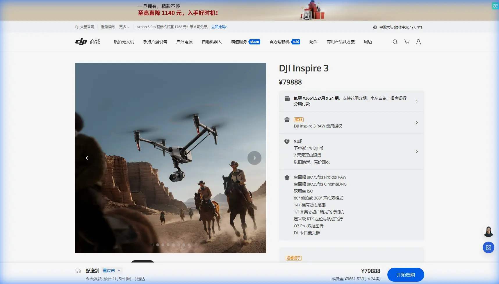
Inspire 3 for High-Altitude Forest Inspection
Inspire 3 for High-Altitude Forest Inspection: What Actually Matters in the Field
META: Expert technical review of the DJI Inspire 3 for high-altitude forest inspection, covering wind, transmission, battery workflow, photogrammetry accuracy, thermal limitations, and real mid-flight weather challenges.
High-altitude forest inspection exposes the difference between a drone that looks capable on paper and one that remains predictable when the mountain decides otherwise. That is the lens I am using here for the Inspire 3.
This is not a generic platform overview. It is a field-minded technical review for operators planning missions above dense timber, along steep slopes, and in weather that can shift in one leg of a flight. In that environment, aircraft reliability is only one part of the equation. Payload behavior, transmission integrity, battery handling, terrain-induced signal shadowing, and data integrity all become operational variables. The Inspire 3 enters that conversation as a high-end aerial imaging platform with serious strengths, but also with some caveats that matter if your forest inspection program depends on repeatable results rather than cinematic flexibility alone.
The key question is simple: how well does the Inspire 3 adapt to high-altitude forestry work when the mission is less about beautiful shots and more about actionable aerial intelligence?
The real challenge is not altitude alone
Forest inspection in the mountains is rarely one problem. It is three stacked together.
First, there is thinner air, which changes lift behavior and compresses performance margins. Second, there is terrain, which interferes with line of sight and can create abrupt wind shear near ridgelines and clearings. Third, there is the forest canopy itself, which can complicate visual interpretation, obscure deadfall, conceal erosion channels, and reduce useful landing options if conditions deteriorate.
In practical terms, that means a drone for this role needs to do more than fly high. It has to maintain stable positioning near uneven terrain, keep a clean control link when the operator is working from a constrained launch point, and support imaging workflows that can serve both visual inspection and mapping.
The Inspire 3 is well positioned in two of those areas immediately. Its professional flight architecture and O3 transmission system make it more credible for complex terrain than lightweight consumer aircraft, especially where signal integrity matters. Its dual-battery design with hot-swap workflow is also not a convenience feature in this scenario. It directly affects sortie tempo and battery safety planning in cold or variable mountain conditions.
Why O3 transmission matters more in forests than spec sheets suggest
Most people evaluate transmission systems by maximum range. In forest inspection, that is the wrong emphasis.
The operational value of O3 transmission is not simply distance. It is resilience. In high-altitude forestry missions, signal quality is constantly challenged by elevation changes, partial obstructions, conifer density, and shifting aircraft orientation as the pilot works a contour line or drainage corridor. A robust transmission link helps the crew hold a stable control picture and maintain confidence in framing, overlap, and route discipline.
That matters even more if the aircraft is being used to collect photogrammetry datasets. Mapping a damaged slope, logging road washout, pest-affected stand, or post-fire recovery zone depends on consistency. If the pilot has to interrupt passes because the control link becomes unreliable behind a spur or tree line, the dataset can lose efficiency fast. Missed overlap is expensive in time and often invisible until processing.
The Inspire 3’s enterprise-grade communications profile becomes even more significant when paired with AES-256 security. That level of encryption is not just an IT checkbox. Forestry inspections often involve concession areas, utility corridors, watershed protection zones, or private land holdings. If your imagery relates to sensitive environmental assets or regulated operations, secure transmission reduces one more avoidable vulnerability in the chain.
In other words, O3 and AES-256 are operational features, not brochure filler. In mountain forest work, link integrity and data security are part of the same mission-quality standard.
Hot-swap batteries are a field advantage, not a luxury
The Inspire 3’s hot-swap battery system deserves more respect from inspection teams than it usually gets.
When you are working in high-altitude forest terrain, every landing cycle carries friction. You may be launching from a narrow clearing, a forest service track, a rock shelf, or a temporary roadside staging point with limited flat ground. Wind exposure changes minute to minute. The faster the turnaround, the easier it is to keep the mission moving while staying inside a safe weather window.
Hot-swap batteries reduce dead time between sorties. More importantly, they reduce the number of rushed procedures when the weather starts to pivot. On one mountain inspection flight, conditions can go from manageable to awkward very quickly: light crosswind on departure, stronger gusts on the ridge ten minutes later, then a drop in temperature and flatter light as cloud pushes through. In that sequence, crews benefit from a system that lets them recover, re-task, and relaunch without turning every battery change into a prolonged reset.
This has another benefit for photogrammetry missions. If you are building a stitched model of a forestry block and need to maintain momentum across multiple legs, rapid battery exchange helps preserve continuity in light conditions and flight geometry. In mountain environments, that continuity can be the difference between a clean reconstruction and a dataset with inconsistent shadows, uneven exposure, or delayed reflight requirements.
A mid-flight weather shift is where aircraft character shows up
The Inspire 3 makes the strongest impression when a mission stops being neat.
Picture a high-altitude conifer survey with the aircraft running along a slope edge above a mixed forest line. The original conditions are usable: steady visibility, moderate air movement, enough contrast on the canopy to identify storm damage and thinning irregularities. Mid-flight, weather starts to change. Wind builds along the ridge rather than at the launch point. Cloud cover moves in unevenly, flattening texture in darker sections of timber. Temperature drops. Gusts become inconsistent, especially during turns where the aircraft briefly presents a different profile to the airflow.
This is where a platform’s composure matters more than headline performance.
The Inspire 3 handles these moments well because it has the stability and control authority expected of a professional airframe. It does not remove risk, and it does not turn bad conditions into good ones. What it does offer is a more settled response when the mission needs careful recovery or a revised route. That helps the pilot make cleaner decisions instead of fighting the aircraft while also evaluating terrain and battery state.
There is also an imaging consequence. When light changes mid-flight, the operator needs reliable downlink and predictable aircraft behavior to decide whether the current leg is still worth finishing. If canopy detail is washing out in shadowed sections, continuing the pass may just produce weak data. In those moments, a solid control link and fast return-to-ground workflow matter as much as the sensor itself.
High-altitude forest inspections are full of flights that begin as data collection and end as judgment calls. The Inspire 3 supports those judgment calls better than many lighter platforms because it gives the crew more control margin when the environment becomes untidy.
The photogrammetry case is stronger than the thermal case
For forest inspection, the Inspire 3 is more naturally aligned with photogrammetry and high-resolution visual analysis than thermal-first workflows.
That distinction is important. Many forestry teams use the phrase thermal signature broadly, but not every platform is equally suited to extracting useful thermal intelligence. Thermal inspection can be valuable in identifying smoldering hotspots, water stress patterns, animal activity, or hidden infrastructure issues under canopy gaps. But if your core mission depends on dedicated thermal capture, the Inspire 3 is not automatically the obvious tool simply because it is a premium aircraft.
Where it is genuinely compelling is photogrammetry. With strong optics, stable flight behavior, and professional mission discipline, it can collect imagery suitable for detailed canopy assessment, terrain reconstruction, slope monitoring, access-road inspection, and change detection over time. In mountain forests, that supports work such as:
- mapping storm blowdown extent
- identifying erosion near road cuttings
- documenting harvest boundary compliance
- tracking regeneration patterns
- building reference surfaces for habitat or watershed studies
This is where GCP use becomes operationally decisive. In difficult terrain, relying on airborne imagery alone can produce visually impressive outputs that are not accurate enough for engineering or compliance decisions. Ground Control Points anchor the dataset to reality. On steep or partially obscured sites, a disciplined GCP plan improves confidence in orthomosaics and elevation products, especially where canopy interruptions and terrain relief can distort assumptions.
If an operator plans to use the Inspire 3 for forestry mapping, I would treat GCP deployment as part of the mission architecture, not an optional refinement. The platform can gather excellent visual data, but the final value of that data still depends on survey discipline.
BVLOS questions need sober answers
The word BVLOS often appears in forestry discussions because forests are large, terrain is awkward, and launch access is limited. But the presence of O3 transmission does not magically make a mission operationally mature for beyond visual line of sight work.
What it does do is support the broader infrastructure required for more advanced operations. A reliable transmission system, secure communications, stable aircraft behavior, and efficient battery workflow all help build a safer operational envelope. Yet BVLOS viability still depends on regulation, detect-and-avoid considerations, airspace review, crew structure, terrain study, and mission-specific risk controls.
For high-altitude forests, the temptation is to stretch line-of-sight assumptions because the target area is remote. That is precisely where discipline matters. Valleys, ridges, and tree cover can make the aircraft disappear from practical visual awareness faster than operators expect. The Inspire 3 gives you a strong technical foundation, but it does not remove the need for a proper BVLOS framework.
Image quality is only useful if it remains interpretable
One of the more overlooked issues in forest inspection is not whether the camera produces sharp files, but whether those files remain readable under changing terrain light.
Dense forests create brutal contrast conditions. Bright clearings, dark conifer stands, exposed rock, reflective water, and haze can all coexist in a single mission block. High-altitude work makes this worse because sun angle and cloud movement can alter the scene while the mission is still underway.
The Inspire 3’s imaging pedigree is an advantage here, especially for analysts who need to inspect crown condition, drainage behavior, edge damage, or access routes at a professional standard. But operators still need to build their flight plans around light discipline. If conditions shift hard mid-flight, it may be smarter to break the mission into quality-controlled segments than to force continuity for the sake of speed.
That is the real lesson from using a platform like this in forest work. Better hardware increases your options. It does not excuse weak mission design.
Where the Inspire 3 fits best
For high-altitude forest inspection, the Inspire 3 makes the most sense when the mission sits at the intersection of visual precision, terrain complexity, and professional workflow control.
It is especially strong when the job requires:
- repeatable visual documentation over rugged terrain
- photogrammetry-grade image capture supported by GCPs
- secure data handling through AES-256 transmission protection
- efficient turnaround using hot-swap batteries
- stable control performance in areas where terrain can complicate the link
It is less naturally optimized if the primary requirement is dedicated thermal signature capture as the central data product. In that case, the platform decision should be made around payload strategy first, not prestige.
For teams comparing options or planning mission architecture around mountain timber, it helps to talk through real field constraints before choosing the aircraft profile. If that would be useful, you can message an operations specialist here and frame the conversation around terrain, data outputs, and crew workflow rather than brand assumptions.
Final assessment
The Inspire 3 is a serious aircraft for high-altitude forest inspection, but not because it is expensive-looking or cinema-adjacent. Its value comes from how several operational details combine under field pressure.
O3 transmission gives the crew a stronger margin in terrain-complicated airspace. AES-256 matters where inspection data carries sensitivity. Hot-swap batteries improve sortie rhythm and reduce friction when weather windows are narrow. And for photogrammetry, especially when paired with a proper GCP plan, the platform can produce high-value visual datasets that hold up under professional scrutiny.
The decisive point is this: mountain forest work punishes drones that are merely impressive. It rewards platforms that stay coherent when wind shifts, light collapses, and the mission has to be adapted in real time. The Inspire 3 belongs in that second category, provided operators deploy it with the discipline the environment demands.
Ready for your own Inspire 3? Contact our team for expert consultation.