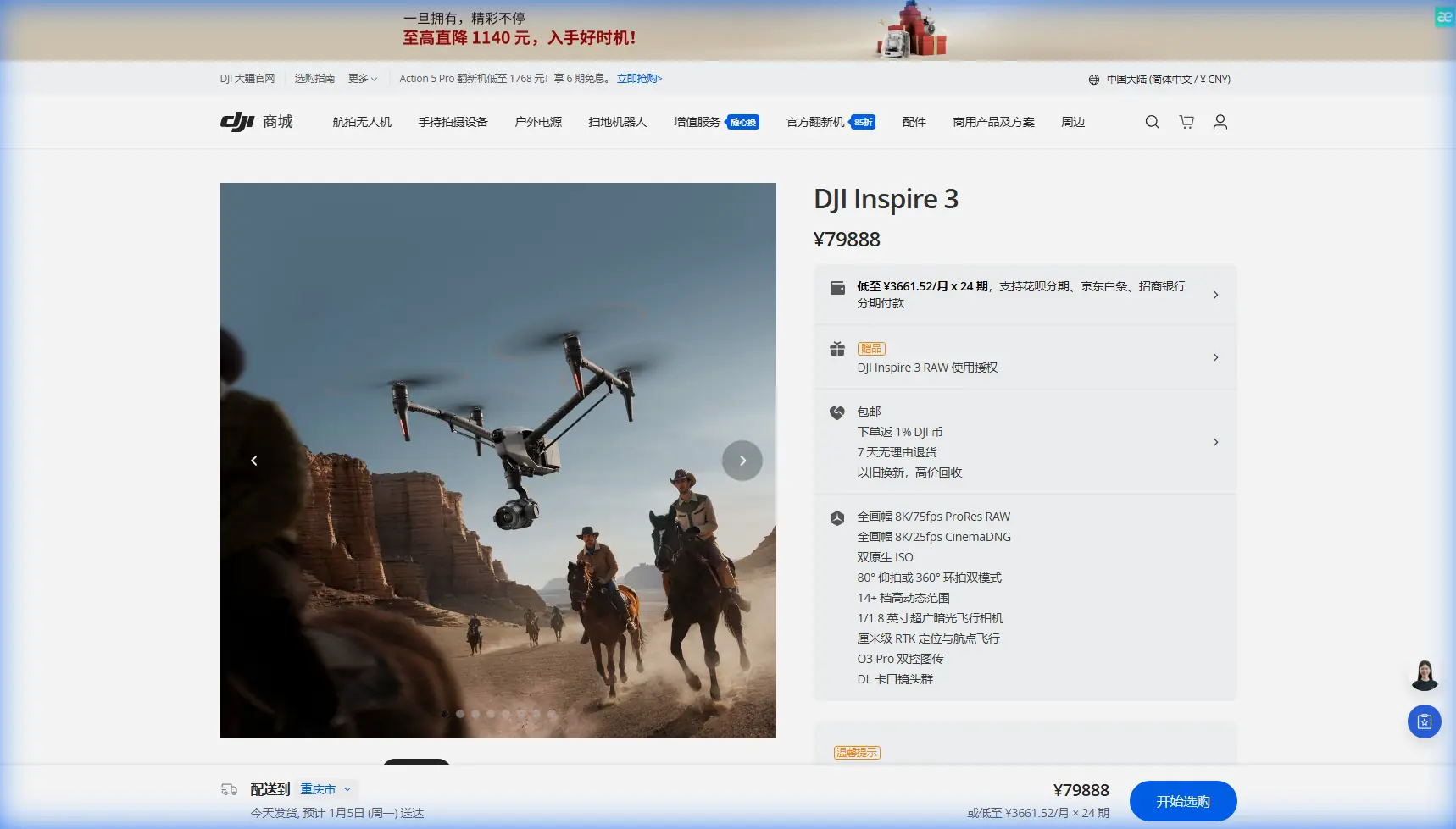
DJI Inspire 3 for Coastal Venue Inspection
DJI Inspire 3 for Coastal Venue Inspection: What Actually Matters in the Field
META: Expert technical review of the DJI Inspire 3 for coastal venue inspection, covering O3 transmission, hot-swap batteries, AES-256 security, photogrammetry workflow, and real-world field tips.
Coastal venue inspection sounds simple until salt haze, reflective surfaces, gust fronts, and tight operating windows start stacking up against you. That is where the DJI Inspire 3 becomes more interesting than its cinema-first reputation suggests. Most people associate it with high-end production. Fair enough. But if you are assessing waterfront event spaces, marinas, seaside resorts, amphitheaters, or cliffside hospitality sites, the platform’s value is not just image quality. It is reliability under pressure, stable transmission in visually noisy environments, and the ability to keep moving through a site without turning every battery swap into a workflow break.
I have spent enough time around exposed shorelines to know that the aircraft spec sheet is only half the story. The other half is how the system behaves when your launch point is cramped, your signal path is complicated by concrete and steel, and your client wants both visual documentation and measurements that stand up later. In that context, the Inspire 3 is not a casual choice. It is a deliberate one.
Why the Inspire 3 makes sense for coastal venue work
A coastal venue inspection usually asks one aircraft to do several jobs in one sortie window. You may need broad establishing coverage of a property boundary, low-altitude passes over rooflines, oblique captures of drainage paths, close visual checks on facade wear, and location intelligence for future works planning. Sometimes the brief even expands into photogrammetry support for renovation mapping or event logistics modeling.
The Inspire 3 handles that kind of mixed mission better than many aircraft that look more “inspection-oriented” on paper. A big reason is the way it combines a robust flight platform with strong situational visibility for the pilot. In a coastal environment, that matters. Wind is rarely uniform near the shoreline. It spills over structures, accelerates through gaps, and rolls unpredictably around grandstands, pergolas, and sea-facing roofs. A platform that lets the operator maintain smooth control and clean line management is worth more than one extra feature on a marketing checklist.
The second reason is payload relevance. While “thermal signature” work is often mentioned in inspection conversations, the Inspire 3 is really strongest when the brief centers on high-detail optical capture and geometry-rich imaging for analysis. That is especially useful in venues where you need to document corrosion patterns, material fatigue, standing water routes, surface deformation, access constraints, and elevation relationships. For coastal properties, all of that shows up sooner than many owners expect because sea air is relentless.
O3 transmission is more than a convenience
One of the most operationally significant features for venue inspection is the O3 transmission system. People often reduce transmission tech to a range talking point. That misses the point entirely in this use case. Around coastal venues, the real challenge is not flying absurd distances. It is preserving link quality through RF clutter, reflective water, mixed building materials, and constantly changing aircraft orientation as you reposition around structures.
O3 matters because stable video and control responsiveness reduce hesitation during close-in assessment work. When you are inspecting the seaward side of a structure, for example, you may need to slide laterally along a facade, dip beneath a roof overhang line, then pull back into open air. Transmission confidence changes the way a pilot makes those decisions. If the link feels brittle, the operator leaves margin on the table and misses details. If it feels dependable, the inspection becomes cleaner, faster, and safer.
That has a downstream effect on data quality. A venue manager does not just need pretty footage. They need usable observations. Better transmission consistency means better framing discipline, fewer repeated passes, and less battery wasted reacquiring the same viewpoints.
Security matters when the venue is sensitive
The other detail that deserves more attention is AES-256. For many operators, encrypted transmission sounds like a box-ticking feature. In venue work, it can be much more than that. Coastal properties often host high-profile events, private functions, regulated infrastructure interfaces, or restricted back-of-house zones. Capturing detailed aerial imagery of these sites creates obvious information sensitivity.
AES-256 strengthens the case for using the Inspire 3 in environments where visual data cannot be treated casually. If your inspection includes service corridors, staging areas, access gates, fuel points, crowd-control architecture, or executive hospitality zones, transmission security becomes part of operational professionalism. It is not abstract. It affects whether a drone operation aligns with the expectations of security teams, legal departments, and venue operators who understand that aerial imagery is operational intelligence.
For serious operators, that means the Inspire 3 can fit more comfortably into inspection programs where discretion and data handling standards are part of the brief, not an afterthought.
Battery workflow is where missions are won or lost
Here is the field lesson that matters most: battery management in coastal inspection is not just about remaining percentage. It is about temperature behavior, sortie sequencing, and resisting the urge to “just squeeze in one more pass” after the mission objective has already been met.
The Inspire 3’s hot-swap batteries are a major advantage here. On paper, hot-swap capability sounds like a time saver. In reality, it protects inspection rhythm. If you are covering a large venue with multiple sectors, you do not want full system shutdown between repositioning cycles. That pause costs more than minutes. It breaks concentration, complicates continuity in your shot log, and can force unnecessary rechecks when environmental light is shifting.
My rule on exposed coastal jobs is simple: assign batteries to sectors, not to flight duration fantasies. For example, one pair for perimeter geometry, one pair for roof and facade obliques, one pair reserved for verification passes or contingencies. Do not blur those roles in the field unless weather forces it. Salt-air jobs punish sloppy battery decisions because wind compensation spikes power draw at exactly the moment pilots think they still have comfortable margin.
A practical tip from experience: after landing, do not leave warm batteries sitting in direct sun on the tailgate while you brief the client. Coastal teams do this all the time. Then they wonder why the next flight’s voltage behavior feels less reassuring. Move packs into shade immediately, keep them organized by cycle order, and note which pair worked hardest during headwind segments. The hot-swap feature is most valuable when paired with disciplined rotation, not speed for its own sake.
Photogrammetry potential is real, but only with planning
Photogrammetry is often treated as a separate discipline from visual inspection, but coastal venue work frequently benefits from combining both. If a client is considering resurfacing, drainage redesign, event layout changes, seawall maintenance, or structural alterations to guest circulation areas, a photogrammetry dataset can add real planning value.
The Inspire 3 can support that kind of mission if the operator flies with intent. This is where GCP strategy becomes relevant. Ground control points are not optional decoration on a serious mapping job, especially in environments with repetitive textures, reflective paving, open concrete, and water adjacency. Coastal sites create all kinds of reconstruction challenges. Glare and low-texture surfaces can produce weak tie points, and elevation changes around retaining walls or stepped hospitality decks can distort a rushed model.
If you are using the Inspire 3 for venue mapping, set GCPs where they support the actual engineering questions. Do not just spread them evenly because a textbook says so. Place them near seawall transitions, drainage changes, access pinch points, and corners where temporary event infrastructure will likely be installed. That makes the model more useful later.
Operational significance matters here. A well-controlled dataset can help answer questions like whether a service route has enough clearance, where runoff is pooling, or how crowd channels intersect with vulnerable surfaces. A poor dataset simply creates false confidence with a polished-looking 3D mesh.
Coastal inspection is often about subtle failure, not dramatic failure
One reason the Inspire 3 fits this niche is the aircraft’s ability to capture fine visual detail with stable positioning. That matters because venue problems near the coast rarely announce themselves dramatically at first. You are usually looking for early-stage clues: fastener staining, membrane edge lift, sealant fatigue, paint blistering, drainage obstruction, railing oxidation, and minor surface settlement. These are management problems before they become engineering emergencies.
An inspection platform needs to let the operator work methodically around that reality. The Inspire 3 does that well when flown as an evidence-collection tool rather than a cinematic toy. The best coastal venue inspections are systematic. They compare exposure zones, identify maintenance asymmetry between sheltered and windward sides, and document how salt, moisture, and operational wear combine over time.
That is where a disciplined flight plan beats improvisation. Start with a wide contextual orbit if the site layout allows it. Move into structured facade passes. Then capture problem-focused obliques and top-down references. If mapping is part of the brief, separate that mission profile from close visual inspection. Trying to do both simultaneously usually weakens both datasets.
Where thermal thinking still belongs
The LSI phrase “thermal signature” is relevant here, but with a caveat. The Inspire 3 is not the platform people reach for when thermal is the central payload requirement. Still, thermal thinking belongs in the inspection process even when the aircraft is collecting optical data. Why? Because many coastal venue issues reveal themselves as secondary visual markers of thermal and moisture behavior.
For instance, staining patterns, patchwork drying, roof discoloration, and facade inconsistency often point to load, moisture, or insulation behavior that a broader asset team may later investigate with a dedicated thermal platform. The Inspire 3 can provide the high-resolution visual baseline that tells you where to send thermal resources next. In practice, that is often the smarter workflow: use the Inspire 3 to define the problem geography, then deploy specialized tools only where justified.
That saves time and keeps the inspection focused on actionable outcomes rather than gadget stacking.
BVLOS talk should stay grounded in real operations
BVLOS is one of those terms that gets thrown around far too casually. For coastal venue inspection, the more relevant point is not whether an operator wants to fly beyond visual line of sight. It is whether the mission architecture has been designed with enough discipline to avoid needing that in the first place. These sites are usually bounded, complex, and sensitive. Most of the valuable work happens within carefully managed visual operations.
Still, BVLOS thinking can influence planning. It encourages stronger route design, communication protocols, observer positioning, and contingency mapping. Those habits improve normal venue inspections even when every flight remains firmly within approved visual limits. If your team is maturing toward more advanced operational standards, the Inspire 3 gives you a platform that supports that seriousness.
What I would tell a venue operator
If a coastal venue manager asked me whether the Inspire 3 is “too much drone” for inspection, I would answer this way: it depends on whether you need footage or decision-grade aerial intelligence. If all you want is a few roof photos, there are simpler options. If you need secure transmission, stable control around difficult architecture, efficient battery turnover, and image capture that can feed both inspection review and site planning, the Inspire 3 earns its place.
Not because it is flashy. Because it reduces friction in the parts of the job that usually go wrong.
That includes battery continuity through hot-swap operation, stronger confidence from O3 transmission in a signal-hostile environment, and encrypted handling via AES-256 where site sensitivity matters. Those are not brochure talking points when you are standing in salt wind with a narrow weather window and a client who needs clear answers.
If you are planning a coastal inspection workflow and want to compare mission design options, this direct line is useful: message our flight team.
The Inspire 3 works best when treated as a precision field instrument. Respect the environment, separate inspection goals from mapping goals, manage batteries like they are part of flight safety rather than consumables, and capture data with the end decision in mind. Do that, and the aircraft becomes far more than a camera in the sky. It becomes a very efficient way to understand how a coastal venue is really aging, where its weak points are forming, and what needs attention before the sea extracts a higher price.
Ready for your own Inspire 3? Contact our team for expert consultation.