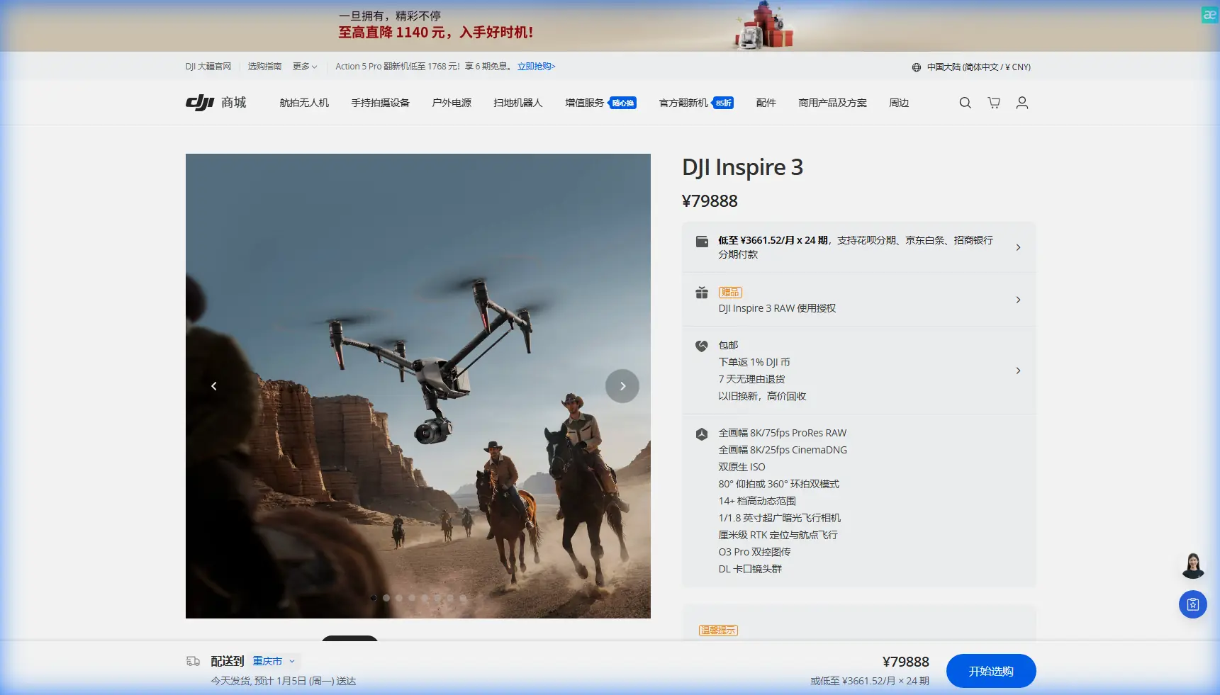
Inspire 3 for Coastal Mapping in Extreme Temperatures
Inspire 3 for Coastal Mapping in Extreme Temperatures: What Actually Matters in the Field
META: A technical review of DJI Inspire 3 for coastline mapping in extreme temperatures, covering flight stability, thermal behavior, vibration control, photogrammetry workflow, O3 transmission, AES-256, and hot-swap battery relevance.
Coastline mapping looks simple from a distance. Long edges. Open sky. Big subjects. In practice, it is one of the more punishing environments for a drone and its operator. Salt spray creeps into everything. Wind is rarely clean. Light shifts fast off water, rock, wet sand, and vegetation. Temperature swings can be brutal, especially when a cold launch turns into a hot midday survey or when a tropical shoreline holds heat well past sunset.
That is the right context for judging the Inspire 3.
A lot of discussion around this aircraft gravitates toward cinema. Fair enough. It is a premium platform with serious imaging pedigree. But if your actual mission is coastal photogrammetry, shoreline change monitoring, erosion documentation, infrastructure assessment, or environmental baseline capture, the more interesting question is not whether Inspire 3 is “powerful.” It is whether its design choices hold up when flight planning meets thermal stress, vibration, and communication reliability over difficult terrain.
That is where the Inspire 3 becomes more than a camera drone.
Why coastline work exposes weaknesses quickly
Coastal mapping puts unusual demands on aircraft behavior. The flight path often runs parallel to irregular boundaries rather than across predictable grids. Wind can shear differently over dunes, sea walls, cliffs, and open water. Surface reflectivity complicates exposure consistency. If you are building photogrammetric outputs from repeated missions, tiny variations in aircraft attitude and image timing can propagate into measurable alignment errors.
This is also one of the few workflows where environmental temperature is not just a comfort issue. Battery output, propulsion efficiency, sensor thermal behavior, and even storage media consistency can all shift enough to affect results. Extreme cold can reduce available power and shorten practical sortie windows. Heat can push the aircraft and payload into a more restrictive thermal envelope, especially during repeated takes, long hover segments, or stop-start shoreline inspections.
In that kind of work, “specs” alone are not the story. Aircraft discipline is.
The hidden engineering issue: vibration ruins data before pilots notice it
One of the most overlooked realities in high-accuracy aerial mapping is that vibration can degrade data quality long before a pilot perceives a flight problem. Traditional aircraft engineering literature has treated vibration as a zone-specific problem for decades. One reference framework divides the fuselage into three sections—front 1/4, middle 1/2, and rear 1/4—and calls for targeted measurement across these regions, with vibration sensing sometimes captured in three directions at a given point. That detail matters because the lesson scales down surprisingly well to UAV operations: vibration is not a single number, and it does not affect every part of the platform equally.
For the Inspire 3 user, the operational takeaway is straightforward. If you are mapping coastlines in gusty or thermally unstable conditions, image sharpness and model consistency depend on more than shutter settings. They depend on how well the aircraft isolates camera motion from propulsion and frame-level disturbances.
This is one area where the Inspire 3 stands out against many competitor platforms that are either lighter and easier to buffet or larger and less agile near constrained shoreline features. A stable airframe with a professional gimbal system does more than produce attractive footage. It preserves image geometry under stress. That matters when you are trying to align overlapping frames for photogrammetry or compare repeat surveys over time.
The older aircraft-vibration guidance goes even further: during flight testing, telemetry is commonly paired with onboard recording to ensure signals are captured reliably. Translate that into modern UAV field practice and it reinforces a best principle for the Inspire 3 operator—do not trust only what the live screen tells you. Log everything you can. Review aircraft behavior, transmission consistency, battery performance, and image outcomes together. Coastal jobs often fail in the margins.
Control precision matters more over shorelines than open inland sites
Another useful reference comes from classic flight-control design. In a handbook discussion of mechanical control systems, one recommendation is that a rocker arm radius should not be smaller than 80 mm and not larger than 150 mm in normal cases, partly to avoid excessive rotation angles that introduce nonlinearity while also limiting bending loads and unnecessary weight. There is also a fatigue-focused note that root fillet radii should be no less than 2 mm to improve durability.
Those numbers are from conventional aircraft design, not the Inspire 3 directly, but the principle is exactly relevant: good flight performance comes from keeping control response linear, predictable, and durable under repeated loads.
Why bring that up in a coastal mapping review? Because shoreline work punishes control systems with constant micro-corrections. The aircraft is not just cruising. It is resisting crosswind drift, maintaining overlap, adjusting for terrain edges, and sometimes transitioning between low-altitude passes and repositioning legs in quick succession. An aircraft with sloppy response or visible compensation lag can still “fly,” but it creates more work downstream in your photogrammetry stack.
The Inspire 3’s appeal in this scenario is that it behaves like a professional aircraft rather than a hobby platform stretched upward. That distinction becomes obvious when you are trying to hold a clean line over a jagged coast in shifting wind instead of filming a simple orbit over a calm inland subject.
Thermal behavior is not only about sensors
The phrase “thermal signature” usually leads people toward heat imaging, but for coastline mapping in extreme temperatures, I think about it more broadly. How does the system carry and shed heat? How consistently does it perform as ambient temperature changes? How does that affect mission pacing?
On a long coastal day, the ability to use hot-swap batteries is not a convenience feature. It changes workflow resilience. If you have ground control points already placed, a tide window closing, and a narrow period of acceptable shadow angle, battery turnaround time becomes part of data quality. Hot-swap support cuts dead time between sorties and reduces the chance that your light, tide, and wind conditions drift too far between mission segments.
Competitor aircraft in lower classes often force a more fragmented approach. You spend more time landing cold, restarting, recalibrating your rhythm, and rebuilding the mission tempo. The Inspire 3 is better suited to sustained field operations where continuity matters.
In heat, that same fast-turn capability helps you manage the aircraft conservatively rather than trying to stretch every pack. In cold, it lets you rotate warmed batteries more intelligently and avoid unnecessary exposure during setup.
O3 transmission matters more at the coast than many teams expect
A coastline can create deceptive radio conditions. You may have wide visual openness and still deal with interference sources, reflective surfaces, or terrain masking from sea walls, rock faces, structures, and vegetation transitions. Transmission stability is not only about pilot confidence. It affects framing discipline, route adherence, and decision speed when conditions shift.
This is where O3 transmission earns its keep on the Inspire 3. For mapping teams, a robust link is not just about “range.” It is about maintaining a reliable situational picture as the aircraft moves through changing shoreline geometry. If you are operating near legal or planned BVLOS-style corridor logic in a future-compliant enterprise workflow, signal confidence becomes even more central, even when the current operation remains within visual line of sight.
For sensitive infrastructure or environmental work, AES-256 encryption is another practical advantage. Coastal surveys often involve ports, industrial waterfronts, utilities, and private shoreline assets. Secure transmission is not a marketing bullet in those cases. It is part of contract credibility.
If your team is designing a secure coastal survey workflow and wants to compare transmission and data-handling options, you can message a technical specialist here.
Inspire 3 and photogrammetry: excellent, but only if you treat it like a survey tool
The Inspire 3 is not a magic wand for photogrammetry. It is a high-end aerial platform that can produce very strong results when your workflow is disciplined.
That starts with overlap planning over reflective and low-texture surfaces. Water edges are notoriously difficult in reconstruction, so your mission should prioritize landward continuity and avoid relying on open water as a stable tie-point environment. It also means using GCPs where accuracy requirements justify them. Coastal environments can introduce enough visual ambiguity that good ground control still earns its place, especially for change detection or engineering-adjacent deliverables.
The aircraft’s value is that it gives you a more stable base for consistent image capture than many prosumer alternatives. That can reduce the number of borderline frames caused by attitude disturbances, abrupt compensation, or transmission-driven pilot hesitation.
Still, one truth remains: if you fly the Inspire 3 like a cinematography rig one day and a survey instrument the next without changing your discipline, your datasets will show it. Build repeatable routes, maintain predictable altitude strategy, and manage environmental timing aggressively.
Where Inspire 3 clearly beats common alternatives
Against smaller folding drones often used for mapping, the Inspire 3 has a real advantage in wind authority, mission continuity, and platform composure. Along exposed coastlines, that alone can decide whether your overlap remains usable. Smaller systems may be easier to transport, but they tend to show their limits sooner when wind and thermal conditions stack up.
Against larger niche enterprise aircraft, the Inspire 3 often wins on responsiveness and deployment speed. Coastal jobs can shift fast. You may need to relocate between beach, bluff, harbor edge, and tidal flat with limited setup time. The Inspire 3 occupies a useful middle ground: professional enough to behave well under pressure, but not so cumbersome that field logistics dominate the day.
Its strongest differentiator is balance. Not the best word for marketing, but exactly the right word for operations.
Practical field notes for extreme-temperature coastal work
If I were assigning the Inspire 3 to a shoreline mapping program, I would focus on six operational habits:
- Stage battery handling around temperature, not just charge state. Hot-swap capability is most valuable when paired with disciplined thermal management.
- Use GCPs selectively but seriously. Shoreline geometry can fool even good datasets.
- Review vibration outcomes after every major environmental change. Stronger wind periods, cliff-side turbulence, and surface heating can change aircraft behavior enough to affect image quality.
- Plan for transmission complexity even in open areas. O3 helps, but coastal topography still creates surprises.
- Separate cinematic temptation from survey discipline. Consistency wins.
- Treat repeatability as the product. The mission is not the flight. The mission is the dataset you can trust next month against this month.
Final assessment
For mapping coastlines in extreme temperatures, the Inspire 3 is at its best when you stop thinking of it as a prestige platform and start evaluating it as a precision aircraft operating in a hostile data environment.
The old aircraft-engineering references in the background here may seem distant from a modern UAV, but their relevance is sharp. One emphasizes avoiding nonlinearity and fatigue through sound control geometry, including practical design limits like an 80 mm to 150 mm rocker-arm radius. Another breaks vibration into distinct airframe regions and recommends multi-direction measurement, reminding us that disturbance is spatial, not abstract. Together, those details underline a point experienced operators already know: stable control and vibration discipline are not academic concerns. They are the foundation of usable aerial data.
That is why the Inspire 3 deserves serious attention for this role. Not because it is flashy. Because in hard coastal conditions, it gives a skilled team a better shot at repeatable, defensible results than the average alternative.
Ready for your own Inspire 3? Contact our team for expert consultation.