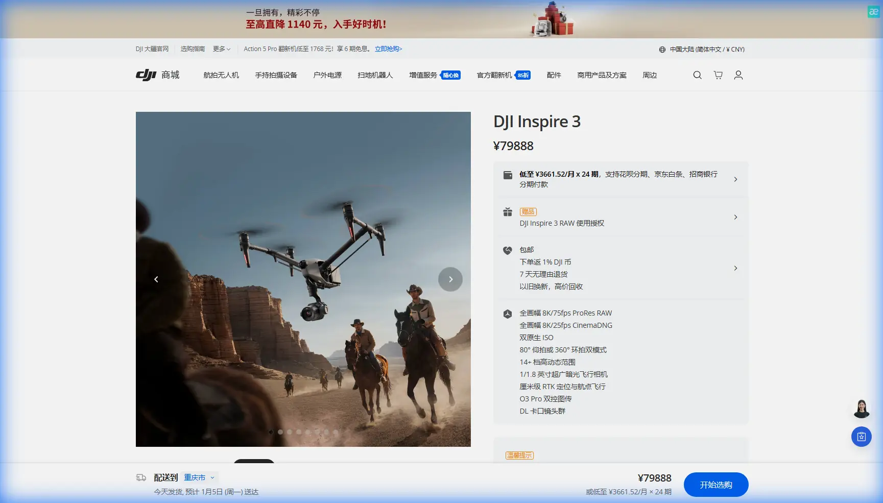
Mapping Steep, Irregular Fields with Inspire 3
Mapping Steep, Irregular Fields with Inspire 3: What Changed After We Stopped Treating Terrain Like a Flat Map
META: A field-tested Inspire 3 case study on mapping complex terrain, covering photogrammetry workflow, flight stability logic, composite durability, hot-swap batteries, O3 transmission, AES-256, GCP strategy, and why the platform suits demanding agricultural survey work.
A few seasons ago, I was asked to support a mapping job over terraced agricultural land cut into a hillside. On paper, it looked routine: generate a clean surface model, identify drainage problems, and deliver orthomosaic outputs accurate enough for planning field access and irrigation improvements.
The terrain had other ideas.
Elevation shifted constantly. Wind wrapped around ridgelines and changed character from one pass to the next. The biggest issue was not just capturing images. It was holding a repeatable flight geometry when the aircraft was being asked to work over uneven ground where small attitude deviations become visible later in the photogrammetry stack. Anyone who has processed a difficult hillside dataset knows the pain: overlap looks fine in the mission planner, then tie points thin out in the wrong places, shadows distort confidence, and the final model exposes every inconsistency you thought the software would smooth over.
That is the context in which the Inspire 3 started making practical sense for me—not as a general-purpose drone, but as a tool that reduced friction in a very specific civilian workflow: mapping fields in complex terrain where stability, repeatability, and efficient turnarounds matter more than spec-sheet theater.
Why Inspire 3 fits this kind of work
The Inspire 3 is often discussed through a cinema lens, but that misses part of its value in terrain-sensitive survey operations. When you are flying repeated lines over stepped or sloped farmland, what you really need is confidence in aircraft behavior, data continuity, and operational recovery when conditions shift mid-mission.
Three details matter immediately in that environment.
First, transmission reliability. O3 transmission is not just about having a modern link. In broken terrain, signal path quality affects confidence, route decisions, and whether you can maintain a clean workflow without repeatedly repositioning the ground team. When portions of a field sit behind contour breaks or tree margins, a robust transmission system reduces wasted time and helps the crew stay focused on acquisition quality rather than link anxiety.
Second, hot-swap batteries. On uneven sites, battery changes are never just battery changes. They interrupt momentum, increase the chance of setup drift, and often force a rushed restart while the light is changing. A hot-swap workflow keeps the aircraft ready between sorties and shortens the gap between adjacent blocks of imagery. That can preserve visual consistency across a mapping set, which is especially useful when you are trying to merge outputs from multiple flights into one coherent terrain product.
Third, data security. Many agricultural clients are becoming more careful about where field data goes, especially when survey outputs reveal crop stress patterns, access roads, water retention problems, or future land-use planning. AES-256 matters here because mapping is no longer treated as harmless picture-taking. It is site intelligence. Secure handling of flight and transmission data is becoming part of professional practice, not an optional talking point.
The hidden challenge in hillside mapping: stability is not a buzzword
Most operators describe “stability” loosely. I think that undersells it.
The reference material I was given for this piece comes from aircraft design work on equilibrium and composite structural allowables. It is not written about drones specifically, but the engineering logic translates surprisingly well to what we experience in the field.
One section explains that true equilibrium is not defined by any apparent intersection of force and moment relationships alone. In the aerodynamic analysis, a candidate operating point only counts as a valid stable solution if it also satisfies an additional criterion, and the text specifically notes that only intersections on a curve with a negative slope qualify as stable balance points in that case. That sounds abstract until you map it onto flight operations. In practical terms, not every “flyable” moment in gusty terrain is equally trustworthy. Some conditions merely look acceptable; others are self-correcting enough to support repeatable image acquisition.
That distinction matters for photogrammetry over fields with terraces, embankments, and variable wind exposure. If the aircraft settles into a behavior that is merely controllable rather than genuinely stable, the camera path may still wander just enough to degrade overlap uniformity and image angle consistency. On a cinematic shoot, that may be manageable. On a survey job, it becomes processing noise.
The same source also describes solving coupled pitch, roll, and yaw balance conditions together rather than in isolation, using three equations to resolve unknowns such as angle variables and rotational state. Operationally, this is exactly how difficult terrain feels from the pilot side: not as separate axes, but as a compound response. A crosswind over a slope never shows up as “just roll” or “just yaw.” It affects track holding, image framing, and speed management simultaneously. That is why a platform that feels composed in all axes saves more data than one that merely looks steady from a distance.
I saw that firsthand on one orchard-and-terrace project. The old workflow demanded more conservative spacing and more re-flown legs because the aircraft response over contour transitions was less predictable. With Inspire 3, the acquisition pattern became easier to trust. Not perfect, not magical—just more consistent, which is what survey crews actually need.
Photogrammetry in complex farmland: where the aircraft helps and where process still wins
No aircraft fixes a weak survey plan. Inspire 3 makes the job easier, but the outputs still depend on discipline.
For complex terrain, I use a simple rule: let the terrain dictate the GCP logic, not the field boundary. Ground control points should be distributed by elevation behavior and surface breaks, not by convenience. On steep agricultural land, one GCP at the top, one in the middle, and one at the bottom is rarely enough if the field folds around a ridge or wraps into a drainage cut. The more irregular the slope transitions, the more carefully GCPs need to reflect those geometric changes.
This is also where thermal signature awareness can become useful, even if the final deliverable is standard photogrammetry. Early morning mapping may seem attractive because of calm wind, but strong thermal contrast between moist soil, stone retaining walls, and vegetated strips can create visual inconsistencies across adjacent passes. In some areas, those differences help identify water movement or compaction zones. In others, they complicate matching if shadows and reflective surfaces are also in play. The point is not that thermal data replaces standard mapping. It is that reading surface behavior more intelligently helps you choose the right capture window.
With Inspire 3, the workflow benefits show up in boring but important ways:
- fewer pauses between blocks because of hot-swap batteries,
- more confidence while holding route integrity over broken ground thanks to O3 transmission,
- and smoother mission continuity when the operator needs to adapt line spacing or altitude bands on the fly.
These are not glamorous gains. They are the gains that protect project margins.
Composite design lessons and why they matter to field operators
The second reference document covers composite material allowables, and one fact deserves attention. It states that advanced composites may exceed 10000 με in tensile and compressive failure strain, yet practical allowable strain values are much lower in service—around 6000 με in tension and only about 2700 με in compression—because impact damage drives the real design limit. That is a serious reminder for drone crews working in agricultural environments.
Why? Because field operations are full of low-energy impact risks that do not look dramatic enough to trigger concern. A landing on rough gravel. A tool case nudging an arm during setup. Transport vibration. A minor brush with a branch while repositioning near hedgerows. Composite structures can retain a clean exterior while losing margin internally. The source goes even further, noting that post-impact fatigue testing over twice the service life is used to determine residual compression strength in affected specimens. That is engineering language for a field truth every professional crew should respect: small impacts deserve more suspicion than pilots usually give them.
For Inspire 3 operators, this has direct operational significance.
If your mapping work involves frequent deployment near farm tracks, embankments, stone walls, or tight staging areas, build a post-transport and post-contact inspection routine that treats the aircraft like a precision composite structure, not a rugged toy. If something feels slightly off in vibration, sound, or hover character after a knock, do not rationalize it away because the shell looks fine. In steep-field mapping, minor structural degradation can show up as image inconsistency long before it becomes an obvious maintenance event.
The same reference also mentions that when structure-specific allowables are unavailable, engineers sometimes use material allowables instead, which is safer but conservative; it also notes that structural allowables are often about 10% higher than material values. To me, that reinforces a useful operational mindset: conservative assumptions are not inefficiency when data quality is at stake. In the field, that means wider safety margins on launch area selection, more disciplined battery handling, and no temptation to stretch a sortie just because the final block looks close.
BVLOS conversations need to start with terrain and communications, not ambition
A lot of people ask whether a platform like Inspire 3 can support BVLOS-style agricultural workflows. The honest answer is that the discussion should begin with regulatory approval, local airspace, and operating procedures—not with appetite.
Still, from a technical planning perspective, there are two reasons the platform belongs in that conversation. One is O3 transmission reliability over challenging terrain. The other is secure data handling with AES-256. If a client is commissioning repeated mapping over large agricultural parcels or distributed hillside plots, communications resilience and secure operational architecture become foundational, not optional.
That does not mean every complex field should be mapped BVLOS. It means the platform supports a more professional planning standard when projects scale.
What changed in my own workflow
The biggest change was psychological: I stopped planning hillside field surveys as if the hard part began in processing.
The hard part begins in the airframe’s ability to maintain repeatable behavior while the environment is trying to pull it off script.
With Inspire 3, I became more comfortable breaking complex terrain into intelligently staged capture blocks instead of overcompensating with excessive overlap everywhere. I trusted shorter turnarounds because hot-swap battery handling made relaunches cleaner. I spent less attention on preserving the link and more on checking whether the image geometry was developing the way I wanted. And because the aircraft felt more settled during contour-following work, I could be stricter about rejecting marginal light rather than hurrying to finish before another restart cycle.
If you are mapping fields with terraces, drainage channels, orchard rows, or steep access breaks, that shift matters. Better aircraft behavior does not replace survey discipline. It creates space for it.
Practical tips for Inspire 3 field mapping in rugged agricultural sites
A few habits have paid off consistently:
1. Build GCPs around slope logic
Place control where terrain behavior changes, not where walking is easiest. Ridge shoulders, terrace transitions, and drainage edges often matter more than geometric symmetry.
2. Inspect the aircraft with composite skepticism
After transport or any minor contact, assume the issue may be larger than the visible mark. The low allowable compression strain figure—about 2700 με in the reference material—is a useful reminder that impact tolerance and operational confidence are not the same thing.
3. Use transmission confidence to improve data quality, not just range comfort
O3 should reduce cognitive load. Spend that recovered attention on overlap, line fidelity, and environmental changes.
4. Keep battery swaps from fragmenting the dataset
Hot-swap efficiency is only valuable if the team uses it to preserve capture consistency. Restart with a clear block plan so lighting and geometry stay coherent.
5. Read thermal behavior as a field condition cue
Surface heating patterns can hint at moisture differences, airflow channels, and problem areas that influence both flight timing and interpretation of outputs.
If you are planning a similar workflow and want to compare terrain strategy, sensor fit, or GCP layout, you can message my field team here.
Final thought
The best reason to use Inspire 3 for complex field mapping is not prestige. It is reduction of uncertainty.
That sounds modest, but in agricultural survey work, uncertainty is expensive. It costs reflights, delays processing, weakens confidence in measurements, and forces too many caveats into deliverables. A platform that manages the practical realities of slope, wind, restarts, and secure data flow gives you something more valuable than marketing language: a cleaner path from flight plan to usable map.
And in rough terrain, that is the whole job.
Ready for your own Inspire 3? Contact our team for expert consultation.