Inspire 3 in Remote Forest Mapping: A Field Report
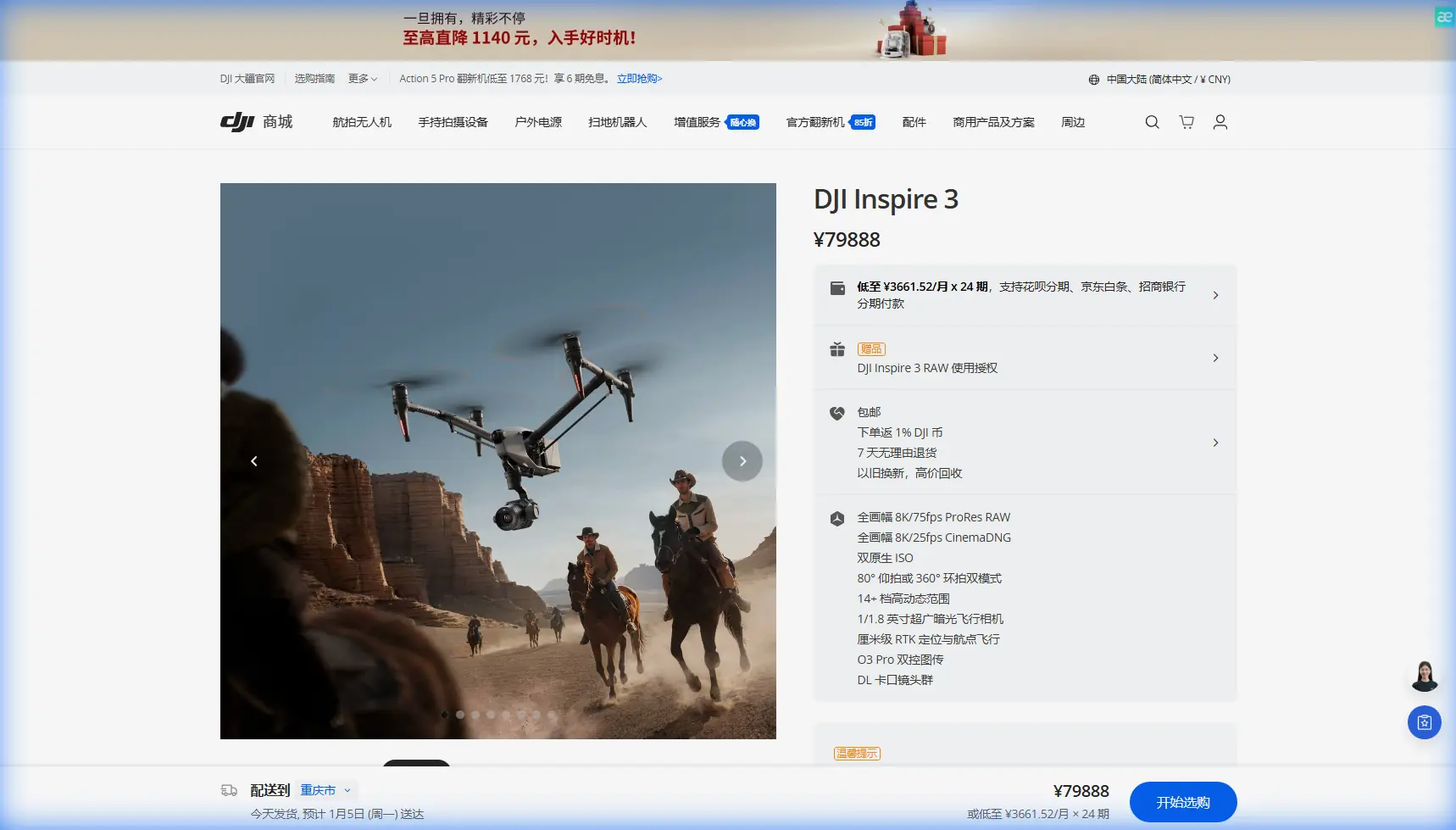
Inspire 3 in Remote Forest Mapping: A Field Report from the Edge of Coverage
META: A specialist field report on using DJI Inspire 3 for remote forest mapping, with practical advice on O3 transmission, antenna positioning, hot-swap batteries, AES-256 security, GCP strategy, and photogrammetry workflow.
Remote forest mapping is where a drone either proves its value or exposes its limits.
Open fields are forgiving. Industrial roofs are accessible. Forest blocks in mountainous terrain are neither. Tree canopies swallow visual contrast, terrain shifts break line of sight, and logistics matter just as much as sensor quality. In that environment, the Inspire 3 becomes interesting for reasons that go beyond image aesthetics. Its operational design changes the pace and reliability of a mapping day.
I have been asked more than once whether the Inspire 3 is the “right” aircraft for remote forest work. My answer is usually the same: it depends on what kind of forest data you actually need, how far from support you will be operating, and whether your workflow demands cinema-grade imaging, repeatable flight performance, and secure link stability in the same package. For some missions, there are more specialized survey platforms. But for teams combining photogrammetry, site documentation, corridor overview, and visual forest-condition assessment, the Inspire 3 can be a sharp tool.
This field report focuses on that real-world use case: mapping forested terrain in remote areas where mobility, uplink reliability, and disciplined workflow matter more than spec-sheet theater.
Why the Inspire 3 deserves a look for forest mapping
The Inspire 3 is usually discussed as a high-end camera drone. That framing misses part of the story.
In remote forestry work, the aircraft’s value comes from the combination of flight stability, transmission performance, battery handling, and payload image quality. If you are building photogrammetric outputs from rugged terrain, your success depends on consistent overlap, predictable aircraft behavior over uneven ground, and the ability to keep moving without lengthy shutdown cycles.
That is where hot-swap batteries matter. On paper, battery replacement sounds like a convenience feature. In the field, especially when you are hiking to launch points or working from narrow clearings, it becomes an efficiency multiplier. A hot-swap design lets crews change batteries without fully powering down the aircraft. That trims downtime between sorties and reduces the reset friction that can creep into a long mapping day. In remote forest blocks where weather windows are short and access roads are rough, those minutes add up.
The other technical detail that carries real operational significance is O3 transmission. In wooded and broken terrain, transmission quality is not just about pilot comfort. It affects whether you can maintain a stable command and video link while repositioning around ridgelines, tree lines, and changing canopy density. A stronger transmission system helps preserve situational awareness when visual conditions are less than ideal. It does not erase the need for legal compliance or sensible line-of-sight planning, but it widens your safety margin in the kind of terrain where links degrade sooner than many teams expect.
A realistic mission profile: mixed forest, poor access, shifting relief
Picture a concession area or ecological survey block several kilometers from the nearest reliable road. The objective is to produce an orthomosaic, a terrain-informed surface model where possible, and visual documentation of canopy variation, access trails, drainage features, and recent disturbance. You may also need repeatable imagery for seasonal comparison.
In that setting, the Inspire 3 is not simply flying pretty passes over trees. It is acting as the center of a data collection system.
Photogrammetry in forests is always more complicated than it sounds. Dense canopy reduces visible ground control opportunities. Shadows shift quickly. Tall vegetation can weaken tie point consistency, especially in homogenous stands where one section of canopy resembles the next. If you fly too low, you may get excellent texture but poor coverage efficiency. Too high, and subtle canopy changes disappear. The Inspire 3 gives you enough image quality headroom to make more deliberate tradeoffs.
The practical advantage is this: when the source imagery is stronger, processing becomes less of a rescue operation. You are no longer trying to squeeze a usable map out of marginal inputs.
The GCP issue most teams underplay
Ground control points, or GCPs, often become the weakest link in remote forest mapping.
In open terrain, GCP deployment is straightforward. In forests, not so much. Under canopy, visibility drops. In steep areas, safe access becomes the limit. The temptation is to reduce control density and “fix it in software.” That usually produces avoidable distortion, especially around edges, stream channels, and abrupt elevation transitions.
With the Inspire 3, I recommend a conservative GCP strategy for any mission that requires dependable geospatial output. Even if the aircraft’s positional performance is strong, forest conditions are notorious for introducing local inconsistencies. Place control where the aircraft can actually see it from mission altitude. Prioritize clearings, track intersections, exposed rock, skid trails, and ridge breaks. If the site is heavily wooded, consider hybrid control logic: fewer but better-placed GCPs, reinforced with check points to validate model accuracy rather than assume it.
This is one of those areas where an expensive aircraft does not cancel field discipline. A good platform amplifies a good workflow. It does not replace one.
Antenna positioning advice for maximum range in forest terrain
This is the field habit I most want crews to adopt.
When teams talk about range, they often talk about the aircraft first. They should be talking about geometry.
For the strongest practical link in remote forest environments, keep the controller antennas oriented broadside toward the aircraft rather than pointed directly at it. In simple terms, you want the flat face of the antenna pattern aimed at the drone, not the tip. Many operators instinctively “point” antennas like flashlights. That usually weakens the link. Radio performance depends on the radiation pattern, and the strongest part is typically not off the narrow end.
In forests, this matters even more because vegetation and terrain already absorb and scatter signal energy. A poor antenna angle compounds natural attenuation.
A few field rules help:
- Stand where the aircraft has the cleanest possible path above intervening trees.
- If you are working near a slope break, move a few meters to regain line of sight rather than forcing the link through foliage.
- Avoid setting up immediately behind vehicles, metal gear cases, or temporary shelters that can interfere with the signal environment.
- Keep body position in mind. Your torso can partially block the controller if you turn away from the aircraft.
- If your mission requires repositioning, plan those moves before launch so the pilot is not improvising in weak-coverage zones.
O3 transmission is a real advantage here, but it performs best when the operator respects the physics. Strong systems reward good antenna discipline. They cannot fully compensate for bad geometry.
Security matters more in remote data operations than people admit
Remote forest mapping can involve environmentally sensitive sites, private concessions, or pre-development corridor studies. In those workflows, link security is not an abstract IT topic. It is part of operational professionalism.
That is why AES-256 deserves mention. When a transmission system uses AES-256 encryption, the practical implication is straightforward: command and data links are better protected during operation. For organizations handling proprietary land-use information, infrastructure route surveys, or confidential environmental assessments, secure transmission lowers the exposure of sensitive visual data while the aircraft is active.
Most drone teams think first about batteries, weather, and airspace. They should. But if your deliverables include site images from remote commercial landholdings, transmission security should sit much higher on the checklist than it often does.
Photogrammetry in forests: what the Inspire 3 does well
The Inspire 3 is most effective in forest mapping when you design the mission around image consistency rather than raw area coverage.
Dense vegetation challenges photogrammetry because canopy movement, changing light, and repetitive texture can confuse reconstruction. The aircraft’s stable flight behavior helps preserve overlap quality, especially in wind that would cause weaker platforms to drift or yaw more noticeably between shots. That kind of consistency improves alignment in processing.
There is also a second-order benefit: operator confidence. A stable platform lets the crew concentrate on terrain, overlap, and control validation rather than constantly correcting aircraft behavior. That lowers fatigue and reduces preventable mistakes late in the day.
If your forest project also requires visual interpretation beyond the map itself, the Inspire 3’s imaging quality becomes especially useful. Canopy gaps, drainage scars, storm damage, selective cutting patterns, and access encroachment often become clearer when source imagery has stronger tonal and structural detail. Not every mission is pure measurement. Many are hybrid jobs where visual interpretation and geospatial output are equally valuable.
What about thermal signature work?
Thermal signature is one of those terms that attracts attention fast, but in forest operations it has to be handled honestly.
The Inspire 3 is not typically the first platform people choose for dedicated thermal survey missions. If the requirement is strict thermal mapping, crews usually look toward payload ecosystems built specifically for that sensor class. But thermal thinking still matters in Inspire 3 planning because many forest projects involve adjacent visual tasks where thermal may later be requested or compared.
For example, habitat monitoring, water seep detection near access roads, or post-event visual assessment may begin as RGB mapping jobs and later evolve into multi-sensor programs. In those cases, using the Inspire 3 for high-quality baseline photogrammetry and visual documentation can create a strong reference layer for any future thermal campaign flown on a different platform. That kind of workflow planning prevents data silos.
So while the Inspire 3 is not the thermal-first answer, it can still play a valuable role in a broader forest intelligence stack.
The BVLOS temptation
Any discussion of remote mapping eventually runs into the BVLOS question.
Forested areas create a psychological trap: because the site feels empty and isolated, teams start thinking in terms of sheer distance. That is the wrong mindset. The better question is whether the operation can be conducted legally, safely, and with reliable command continuity under the applicable rules.
The Inspire 3’s transmission capability may support robust operations over challenging terrain, but that should not be confused with an automatic green light for BVLOS activity. In remote mapping, disciplined launch-point selection, terrain-aware flight lines, and staged repositioning often solve more problems than simply trying to stretch distance.
I have seen crews gain more effective coverage by moving their launch site 150 to 300 meters upslope than by obsessing over maximum theoretical link range. Terrain advantage beats spec-chasing almost every time.
How I would structure a day with the Inspire 3 in a remote forest block
The cleanest workflow usually looks like this:
Start with a terrain review and pick launch points that favor signal geometry rather than just hiking convenience. Confirm where GCPs can actually be seen from the intended mapping altitude. Fly the highest-value block first while wind and light are still controlled. Use battery hot-swap capability to keep the aircraft ready between sequential flights instead of letting resets interrupt your rhythm.
After each sortie, check image consistency immediately. Not later. Forest photogrammetry fails quietly at first. A slight overlap issue or shadow-heavy run can look acceptable in the field and turn ugly during processing. Review enough sample data on site to catch trouble early.
If the mission includes multiple valleys or ridgelines, treat each as a separate transmission environment. Do not assume performance from the previous block will carry over. Reassess your antenna orientation every time the geometry changes.
And if your team is building a recurring forest monitoring program, document your exact launch positions, antenna habits, GCP layout logic, and light conditions. Repeatability is not just about using the same drone twice. It is about reducing hidden variability in the entire field method.
Final assessment
For remote forest mapping, the Inspire 3 is best understood as a precision field platform with unusually strong crossover value. It supports high-grade visual capture, disciplined photogrammetry, efficient sortie turnover through hot-swap batteries, and more resilient remote operation with O3 transmission. Add AES-256 transmission security, and it starts to make sense for organizations that care as much about data handling and operational reliability as they do about image quality.
That does not mean it is the universal answer for every forestry mission. It is not a substitute for lidar where canopy penetration is the requirement. It is not a thermal specialist by default. And it does not excuse weak control planning or sloppy range assumptions.
What it does offer is a rare blend of mobility, image quality, and operational polish that becomes especially valuable when you are working far from support and every flight has to count.
If you are planning a forest mapping workflow and want to compare mission setups or field practices, you can message our technical team here.
Ready for your own Inspire 3? Contact our team for expert consultation.