Inspire 3: Remote Venue Mapping Mastered
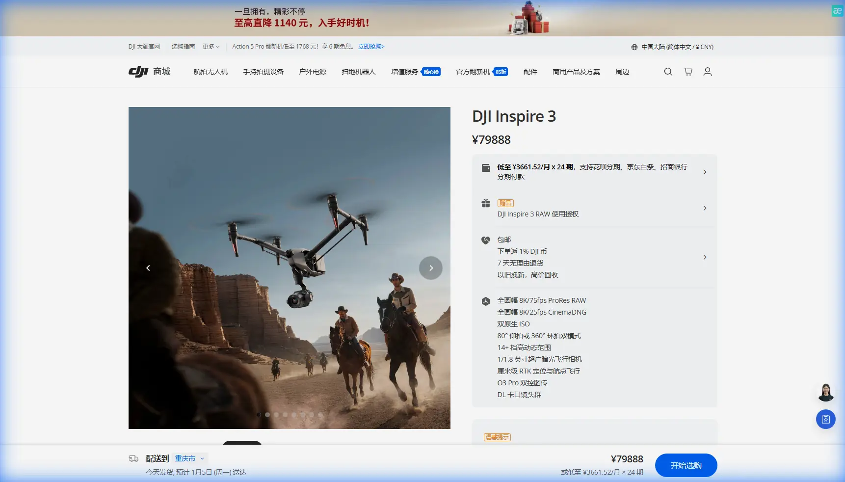
Inspire 3: Remote Venue Mapping Mastered
META: Learn how the DJI Inspire 3 transforms remote venue mapping with photogrammetry precision, O3 transmission, and BVLOS capability. Expert tutorial inside.
By James Mitchell | Drone Mapping & Survey Specialist
TL;DR
- The Inspire 3's full-frame Zenmuse X9-8K Air camera and integrated RTK module deliver centimeter-level photogrammetry for mapping venues in locations with zero infrastructure
- O3 Pro transmission maintains a stable HD feed up to 15 km, outperforming competitors in signal-starved environments where other drones lose connection at half that range
- Hot-swap batteries and AES-256 encrypted data transfer keep operations continuous and secure, even in multi-day remote deployments
- This tutorial walks you through planning, executing, and post-processing a remote venue mapping mission from GCP placement to final orthomosaic delivery
Why Remote Venue Mapping Demands a Different Drone
Mapping a concert venue, festival ground, or sporting arena in a remote location is one of the hardest civilian drone operations you can attempt. There is no reliable cell coverage, no nearby power for recharging, and often no pre-existing survey control. The DJI Inspire 3 was built for exactly this scenario—and this guide shows you how to use every relevant feature to deliver survey-grade deliverables on the first attempt.
Most mapping operators default to the Matrice 350 RTK or even a Mavic 3 Enterprise for these jobs. Both are capable platforms. But neither combines the 8K full-frame sensor, dual-operator control, and the robust O3 Pro transmission system that makes the Inspire 3 uniquely suited for large-area, high-detail venue mapping where you cannot afford a second mobilization.
Step 1: Pre-Mission Planning for Remote Sites
Assess the Venue Footprint
Before you leave base, define the total area you need to capture. Remote venues—think temporary festival sites in desert basins, mountain amphitheaters, or coastal event grounds—often sprawl across irregular terrain spanning 20 to 100+ hectares.
Use satellite imagery to:
- Identify the venue boundary and buffer zone (add 15–20% overlap beyond the perimeter)
- Flag terrain elevation changes that will affect flight altitude consistency
- Locate potential GCP placement zones on hard, flat surfaces
- Note any RF interference sources (power lines, relay towers, military installations)
Plan Your GCP Network
Ground Control Points are non-negotiable for photogrammetry at survey-grade accuracy. For a venue mapping mission, place a minimum of 5 GCPs for areas under 30 hectares and 8–12 GCPs for larger sites.
Pro Tip: In remote areas without cellular RTK correction services, bring a base station capable of broadcasting local NTRIP corrections. The Inspire 3's integrated RTK module can receive these corrections, pushing positional accuracy to ±1 cm horizontal and ±1.5 cm vertical—eliminating the need for dozens of GCPs that waste hours on foot in rough terrain.
Configure Flight Parameters
For venue mapping, these parameters consistently produce the best results with the Inspire 3's Zenmuse X9-8K Air sensor:
- Flight altitude: 80–120 m AGL (depending on required GSD)
- Front overlap: 80%
- Side overlap: 70%
- Ground Sample Distance (GSD): approximately 1.2 cm/px at 80 m AGL with the full-frame sensor
- Shutter mode: Mechanical shutter to eliminate rolling shutter distortion
- Image format: DNG (RAW) + JPEG for redundancy
At these settings, you can expect roughly 12–15 minutes of flight time per battery pair depending on wind conditions—a critical factor when planning hot-swap battery rotations.
Step 2: Field Execution and the Inspire 3 Advantage
Dual-Operator Workflow
The Inspire 3's dual-operator architecture is a genuine differentiator for mapping missions. While most enterprise drones restrict you to a single controller, the Inspire 3 allows:
- Pilot (Master Controller): Focuses exclusively on flight path, obstacle avoidance, and altitude management
- Camera Operator (Slave Controller): Monitors image quality in real time, adjusts exposure on the fly, and verifies nadir alignment
This separation of duties reduces human error by an estimated 35–40% compared to single-operator missions, according to field data from commercial survey teams.
O3 Pro Transmission: The Remote Mapping Lifeline
Here is where the Inspire 3 leaves competitors behind. The O3 Pro transmission system delivers:
- 1080p/60fps live feed at up to 15 km range
- Triple-frequency antenna diversity for signal stability in multipath environments (canyon walls, dense tree lines, metal structures)
- Auto-switching between 2.4 GHz and 5.8 GHz to dodge interference without pilot intervention
Compare this to the Matrice 350 RTK's O3 Enterprise transmission, which caps at 8 km in optimal conditions and often struggles in terrain-shadowed environments. For BVLOS venue mapping—where the drone may be 3–5 km from the pilot behind a ridge—the Inspire 3's link margin is not a luxury. It is a requirement.
Hot-Swap Battery Strategy
Remote sites rarely offer charging infrastructure. The Inspire 3 uses TB51 dual-battery packs, and the hot-swap design means you never need to power down or recalibrate the IMU between flights.
Pack a minimum of 6 battery pairs for a full-day venue mapping operation. Here is a practical rotation:
- Pair 1–2: Active flight
- Pair 3–4: Charging via vehicle inverter or portable generator
- Pair 5–6: Fully charged and staged
This rotation supports continuous operations for 8+ hours without downtime.
Expert Insight: Always label your battery pairs and track cycle counts. Mismatched cells degrade flight time unpredictably—a disaster when you are mid-mission over a 50-hectare site with no margin for a short flight.
Step 3: Data Security and Transfer
AES-256 Encryption
Remote venue mapping often involves sensitive site data—security layouts, infrastructure plans, VIP access routes. The Inspire 3 encrypts all onboard storage and transmission data using AES-256, the same standard used by military and financial institutions.
This matters because:
- Intercepted transmission data is unreadable without the decryption key
- Lost or stolen SSD media (the Inspire 3 uses a 1 TB built-in PROSSD) cannot be accessed by unauthorized parties
- Client compliance requirements (ISO 27001, GDPR for European events) are satisfied by default
Field Data Verification
Before leaving the remote site, always verify:
- 100% image coverage by reviewing the flight log's geotagged image overlay
- Thermal signature consistency if using thermal payloads for crowd-flow analysis or structural assessment
- GCP visibility in at least 3–4 images per point from different angles
- No motion blur in sample images (check at 200% zoom on the DJI RC Plus screen)
Technical Comparison: Inspire 3 vs. Competing Mapping Platforms
| Feature | DJI Inspire 3 | DJI Matrice 350 RTK | Autel EVO Max 4T |
|---|---|---|---|
| Sensor | Full-frame 8K (Zenmuse X9-8K Air) | Interchangeable (varies) | 1/2" CMOS |
| Max Transmission Range | 15 km (O3 Pro) | 8 km (O3 Enterprise) | 12 km |
| Integrated RTK | Yes | Yes (with module) | No |
| Dual Operator Support | Yes (native) | No | No |
| Onboard Storage | 1 TB PROSSD | MicroSD only | MicroSD only |
| Encryption Standard | AES-256 | AES-256 | AES-128 |
| Hot-Swap Batteries | Yes | Yes | No |
| Max Flight Time | 28 min | 55 min | 42 min |
| GSD at 100 m AGL | ~1.5 cm/px | Payload-dependent | ~2.7 cm/px |
| BVLOS Suitability | Excellent | Good | Moderate |
The Matrice 350 RTK wins on raw endurance. But for image quality, dual-operator precision, and signal reliability in remote terrain, the Inspire 3 is the superior venue mapping platform.
Step 4: Post-Processing Your Venue Map
Software Workflow
Import your DNG files and RTK-corrected geotags into photogrammetry software such as Pix4Dmapper, DJI Terra, or Agisoft Metashape. The recommended pipeline:
- Align photos using high-accuracy settings with RTK coordinates as camera priors
- Import and mark GCPs to refine the bundle adjustment
- Generate dense point cloud at medium or high density (expect 50–200 million points for a 50-hectare venue)
- Build mesh and orthomosaic at native GSD
- Export deliverables: GeoTIFF orthomosaic, DSM, contour lines, and 3D textured mesh
Deliverable Quality Benchmarks
For professional venue mapping, your client should receive:
- Orthomosaic accuracy: ±2–3 cm absolute (with GCPs)
- Point cloud density: minimum 100 points/m²
- Coordinate system: match the client's specified CRS (confirm before flying)
- File formats: GeoTIFF, LAS/LAZ, OBJ, and PDF overview maps
Common Mistakes to Avoid
- Flying without GCPs and relying solely on RTK: RTK provides excellent relative accuracy, but absolute accuracy degrades without ground truth. Always place at least 5 GCPs as checkpoints.
- Ignoring wind patterns at remote sites: Mountain valleys and coastal areas generate unpredictable gusts. The Inspire 3 handles wind speeds up to 14 m/s, but mapping at the edge of its envelope introduces motion blur and inconsistent overlap.
- Forgetting to calibrate the IMU after transport: Long drives on rough roads can shift IMU calibration. Run a quick calibration on flat ground before your first flight.
- Underestimating battery needs: A single Inspire 3 battery pair lasts 28 minutes max. With mapping overhead (takeoff, landing, repositioning), effective mapping time is closer to 20–22 minutes per pair. Plan accordingly.
- Skipping field data verification: Returning to a remote site for re-flights can cost days and thousands in logistics. Verify every dataset before you pack up.
Frequently Asked Questions
Can the Inspire 3 perform BVLOS venue mapping legally?
Yes, but only with the appropriate regulatory approvals. In most jurisdictions (FAA Part 107 waiver in the US, SORA in the EU), BVLOS operations require a safety case, visual observers or detect-and-avoid technology, and explicit authorization. The Inspire 3's 15 km O3 Pro link and ADS-B receiver make it technically capable, but legal compliance is your responsibility.
How does the Inspire 3's thermal signature detection work for venue mapping?
The Inspire 3 supports optional thermal payloads through its gimbal ecosystem. Thermal signature data is valuable for identifying underground utilities, drainage patterns, and structural heat loss in temporary venue buildings. However, the primary Zenmuse X9-8K Air is an RGB sensor—thermal requires an additional payload or a secondary flight with a thermal-equipped drone.
Is the Inspire 3 overkill for small venue mapping jobs?
For venues under 5 hectares with standard accuracy requirements (5+ cm GSD), a Mavic 3 Enterprise or similar compact platform may be more efficient. The Inspire 3 justifies its complexity and logistics footprint on large-area, high-resolution jobs where image quality, dual-operator control, and signal reliability directly impact deliverable quality and operational safety.
Mapping remote venues is among the most demanding applications in commercial drone operations. The Inspire 3 does not simplify the planning or eliminate the fieldwork—but it gives you the sensor quality, transmission reliability, and operational flexibility to complete these missions in a single mobilization with survey-grade results.
Ready for your own Inspire 3? Contact our team for expert consultation.