Inspire 3 for Urban Venue Mapping: What the Pipeline Sector
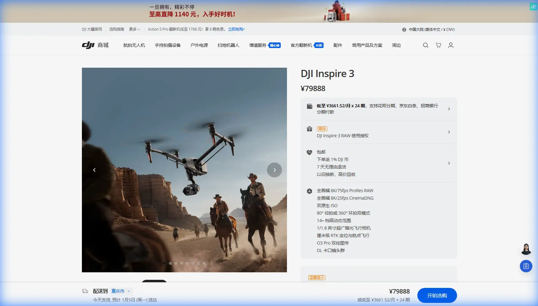
Inspire 3 for Urban Venue Mapping: What the Pipeline Sector Gets Right About Flight, Sensors, and Data Speed
META: A technical review of using Inspire 3 for urban venue mapping, grounded in real UAV lessons from pipeline inspection, orthomosaic workflows, sensor limits, EMI handling, and fast photogrammetry processing.
Urban venue mapping looks clean on paper. A defined site. Predictable edges. Easy access. Then the real work starts: reflective facades, patchy GNSS, magnetic noise from steel, narrow takeoff zones, impatient stakeholders, and the constant demand for deliverables that are both fast and defensible.
This is where the Inspire 3 becomes interesting—not because it was built only for cinema, but because many of the constraints that make pipeline drone operations difficult also show up in dense venue environments. The reference material on long-distance oil and gas pipeline UAV use highlights three problems that still matter today: launch and recovery in complex terrain, the challenge of carrying high-precision sensors without overloading the aircraft, and the time drag caused by large remote-sensing datasets during post-processing. Those are not abstract issues. They map directly onto urban venue work.
I’ve spent enough time around mapping crews to know that the aircraft is rarely the whole story. The mission succeeds when platform, sensing strategy, flight discipline, and processing pipeline all fit together. Inspire 3 can fit that system well, but only if the operator treats it as a survey tool with aerial cinema DNA—not the other way around.
Why a pipeline paper matters to urban venue mapping
The most useful line in the pipeline reference is not about oil or gas. It is the operational warning that larger UAVs often need more forgiving takeoff and landing conditions, while smaller, lighter aircraft are easier to deploy but more vulnerable to wind and stability issues. That tension is familiar to anyone mapping urban venues.
A stadium forecourt, expo center roofline, transport-adjacent event complex, or mixed-use plaza rarely gives you a perfect operating box. You may have pedestrians, security barriers, rooftop turbulence, overhead structures, and limited buffer space. A mission platform that can be deployed without the runway-style demands of fixed-wing systems matters. The pipeline article framed this as a mountain-terrain problem. In city work, it becomes an access and control problem.
This is one reason Inspire 3 deserves serious consideration for venue mapping. It gives professional operators a platform that can launch from constrained areas while still maintaining the flight quality needed for repeatable image capture. That repeatability is not glamorous, but it is what protects photogrammetry accuracy when the client wants clean facade references, top-down orthos, and 3D outputs from the same site visit.
The sensor problem is more relevant than most teams admit
The same pipeline source points out a hard truth: high-precision sensors tend to be large and heavy, while UAV payload capacity puts practical limits on what can be flown. That statement may sound obvious, but it cuts into a common mistake in urban venue projects—trying to force one aircraft to collect every imaginable data layer in one pass.
For Inspire 3 operators, this means being realistic about mission design. If the primary deliverable is photogrammetry, the payload and capture settings should be optimized around image geometry, shutter control, overlap discipline, and calibration consistency. If the project also needs thermal signature review—say, for roof moisture screening, HVAC envelope checks, or event venue infrastructure diagnostics—that should be treated as a separate sensing objective unless the workflow has been validated.
The lesson from the reference isn’t merely “lighter sensors are better.” It is that the aircraft-payload relationship determines data integrity. A venue map that looks good visually but drifts under measurement is not a successful map. Inspire 3’s value in this context comes from stable flight behavior, consistent image acquisition, and the ability to support a disciplined capture workflow, not from pretending it is every sensor platform at once.
O3 transmission and AES-256 matter more in cities than on open land
Urban mapping introduces a different kind of complexity than remote corridors. In pipeline environments, terrain and distance are the obvious constraints. In cities, signal behavior becomes unpredictable. You have reflective glass, steel framing, Wi‑Fi density, rooftop equipment, and intermittent line-of-sight obstructions. This is why O3 transmission is not just a spec-sheet checkbox for Inspire 3 users. It is operational insurance.
Reliable transmission supports more than pilot confidence. It helps preserve shot continuity, camera framing discipline, and safe repositioning around complex structures. When you are capturing façades or edge conditions for 3D reconstruction, micro-errors in track spacing and camera orientation can later show up as reconstruction weakness. Stable transmission reduces the chance that an operator improvises poor flight geometry because the link becomes inconsistent.
AES-256 also deserves mention for venue work. Many urban sites are commercially sensitive: convention centers before opening, private campuses, event infrastructure zones, and controlled-access properties. Even when the data is not classified, it may still be contract-sensitive. Encrypted transmission and disciplined data handling help reassure venue owners that the mapping operation is being run with professional controls.
Electromagnetic interference: the quiet reason some “easy” jobs go sideways
The brief called for one specific narrative spark: handling electromagnetic interference with antenna adjustment. That is not an academic footnote. It is one of the most practical field habits an Inspire 3 team can develop in urban environments.
Electromagnetic interference often shows up before crews recognize it for what it is. Video downlink quality dips near rooftop mechanical systems. Telemetry behaves inconsistently beside steel superstructures. Compass confidence drops when operating too close to reinforced surfaces or concealed power infrastructure. Operators sometimes blame “city signal noise” and push through. That is sloppy.
A better response starts with physical positioning. Before launch, I prefer to assess where the control station sits relative to major reflective and radiating surfaces. Small shifts in pilot location can materially improve link stability. Antenna adjustment matters here. The goal is not merely pointing antennas at the aircraft in a generic sense; it is maintaining clean geometry while avoiding orientations that place large metal surfaces or active equipment directly in the path of the strongest transmission lobe.
In practice, that can mean stepping away from a parapet lined with metal cladding, rotating the controller orientation as the aircraft transitions around a venue corner, or relocating the control point to preserve stronger line-of-sight during orbit legs. With O3 transmission, these refinements help the system perform closer to its capability ceiling. Without them, even a high-end platform can feel inconsistent.
This has direct mapping significance. Interference-driven hesitations can distort speed consistency, overlap spacing, and turn execution. A photogrammetry mission does not fail only when the drone disconnects. It can fail quietly when the aircraft remains airborne but the capture geometry becomes messy.
The post-processing bottleneck is not a side issue
The pipeline article’s third technical problem may be the most universally relevant: large remote-sensing datasets take too long to process, so faster stitching and analysis software is essential. That observation remains sharp. A well-flown venue mission can still become a poor business outcome if the data pipeline is slow, fragile, or manually overloaded.
This is where the second reference, although garbled in extraction, still gives us a useful directional cue. It points to a rapid UAV data processing solution called Pixel-Mosaic and specifically mentions single-lens image 3D modeling. That matters because many venue mapping jobs do not need exotic multi-sensor complexity. They need a dependable way to turn single-camera image sets into usable orthomosaics and 3D models quickly.
Operationally, this changes how I think about Inspire 3 on site. The aircraft is not only collecting imagery; it is feeding a decision chain. If the software environment can accelerate single-lens photogrammetry and mosaic generation, then the team can tighten turnaround windows for venue owners, architects, event planners, or facility managers. Faster processing is not just convenience. It affects reflight decisions. If you can validate reconstruction quality sooner, you have a better chance of catching missing coverage while the crew is still nearby.
For urban venues, where site access may be time-limited, that is a real advantage.
A practical Inspire 3 workflow for venue mapping
When mapping an urban venue with Inspire 3, I recommend thinking in layers rather than one master sortie.
1. Define the primary deliverable first
Is the client asking for:
- a true orthomosaic,
- a textured 3D model,
- roof condition context,
- facade alignment references,
- or progress documentation tied to GCP control?
Each of those pushes the flight plan differently. The pipeline reference reminds us that sensor precision and data load are competing pressures. So choose the deliverable before locking the capture pattern.
2. Build the launch plan around constrained access
The source paper stresses how difficult takeoff and landing can be in complex terrain. Urban venues create a similar challenge through crowd flow, fencing, and rooftop restrictions. Pick an operating area with clean ascent space, reduced reflective clutter, and a buffer from foot traffic. Inspire 3’s deployment profile is a strong fit here, but only if the launch site itself is treated as part of the mission design.
3. Use GCPs where measurement integrity matters
If the venue map will support engineering, design coordination, or repeatable documentation over time, GCP placement can anchor the model far better than a purely onboard solution. In dense sites, GCPs also help counter some of the geometric uncertainty introduced by urban canyon conditions.
4. Separate photogrammetry from thermal intent
If thermal signature analysis is relevant, do not assume it belongs inside the same capture logic as visible-light mapping unless the workflow has been proven. Different objectives deserve different capture discipline.
5. Manage link quality actively during flight
This is where antenna adjustment and control-station positioning come in. Do not wait for signal warnings. Anticipate them. Reorient early when the aircraft moves behind structures or into reflected signal corridors.
6. Plan for rapid QA in post
The Pixel-Mosaic reference’s emphasis on fast processing and single-lens 3D modeling points toward a simple operational truth: quick reconstruction checks reduce expensive surprises. Even a preliminary model review on the same day can confirm whether overlap, facade coverage, and edge completeness are adequate.
Hot-swap batteries and tempo management
Hot-swap batteries are one of those features that can sound like a convenience until you run a real site with narrow access windows. In venue mapping, tempo matters. Security clearances expire. Loading bays reopen. Public access resumes. Weather shifts between building gaps. A battery workflow that minimizes downtime helps preserve continuity in lighting conditions and site control.
That does not mean flying recklessly to beat the clock. It means treating battery transition time as part of mission efficiency. For larger venues, segmented capture with disciplined hot-swap cycles can produce more consistent datasets than trying to stretch each sortie to the limit.
What BVLOS does and does not mean for this category
BVLOS appears often in strategic discussions because long linear assets such as pipelines naturally benefit from beyond visual line of sight operations. For urban venue mapping, BVLOS is usually less central than disciplined VLOS execution, local regulation compliance, and site-specific risk management. Still, the pipeline sector’s interest in wider-area drone deployment is a useful reminder that scale changes everything.
As venue mapping expands from single properties to campus environments, transport-linked precincts, or distributed event infrastructure, operators may begin to think more like corridor survey teams: standardized procedures, repeat routes, data fusion, and centralized processing. That is where Inspire 3 can play a role inside a larger mapping program rather than as a one-off aircraft.
The bigger lesson from the source material
The strongest insight in the reference data is not technological hype. It is systems thinking.
One source identifies the friction points clearly: difficult operating environments, payload limits for precision sensing, and slow image processing. The other points toward a solution path: faster handling of UAV image sets and single-lens 3D modeling. Put together, they describe the real discipline behind productive drone work.
For Inspire 3 users mapping urban venues, the takeaway is straightforward. The aircraft is only as effective as the workflow wrapped around it. If you control launch conditions, respect sensor tradeoffs, manage electromagnetic interference proactively, secure the link with good transmission practice, and shorten the photogrammetry turnaround loop, Inspire 3 becomes far more than a flying camera. It becomes a dependable data collection platform.
If your team is refining an Inspire 3 workflow for dense urban sites and wants to compare antenna placement, GCP layout, or post-processing strategy, you can message a mapping specialist directly.
Urban venue mapping rewards operators who think ahead. The reference material from pipeline operations proves why. Hard environments expose weak assumptions quickly. Inspire 3 performs best when those assumptions are removed before the props ever spin.
Ready for your own Inspire 3? Contact our team for expert consultation.