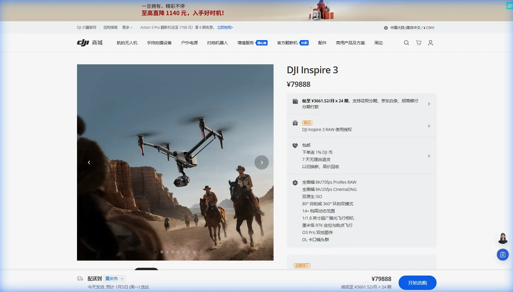
Inspire 3 for Windy Wildlife Mapping: A Technical Review
Inspire 3 for Windy Wildlife Mapping: A Technical Review from Structure to Cockpit Logic
META: Expert review of DJI Inspire 3 for wildlife mapping in windy conditions, with analysis of structural resilience, control ergonomics, O3 transmission, hot-swap batteries, and photogrammetry workflow.
When people talk about wildlife mapping, they usually jump straight to camera specs or flight time. That misses the real operational question. In wind, over uneven terrain, around sensitive habitats, the aircraft only becomes useful when its structure, control logic, and field workflow all hold together at once.
That is where the Inspire 3 becomes worth examining more seriously.
For this kind of mission—mapping wildlife in exposed coastal grasslands, estuaries, ridge lines, or open savanna edges—the aircraft is not just a camera carrier. It is a flying measurement platform that has to maintain predictable behavior while dealing with gusts, repeated takeoffs, battery cycles, and long periods of pilot concentration. The best way to judge the Inspire 3 is not by headline marketing features, but by whether its design philosophy matches what experienced operators already know from aircraft engineering.
Two reference points from classical aircraft design make that evaluation sharper. One comes from structural analysis of laminated materials. The other comes from cockpit control arrangement and human factors. Both are surprisingly relevant to the Inspire 3, especially for wildlife mapping in wind.
Why structural thinking matters more in windy mapping than many operators admit
A mapping drone in windy conditions is constantly being loaded and unloaded. Not always dramatically, but repeatedly. Small gusts, braking corrections, lateral attitude changes, climbs over thermals, and return legs against the wind all create fluctuating stresses. Over time, that matters.
One reference in the aircraft design handbook discusses the difficulty of predicting the ultimate strength of multidirectional laminated panels because failure in composite laminates is not simple or linear. As layers begin to fail, stiffness changes progressively, and the problem becomes nonlinear. That is not a small academic point. It explains why high-end aerial platforms are judged not only by raw stiffness, but by how intelligently their structure handles real-world loading across many cycles.
The same source also highlights what it calls the “laminate effect” and the importance of adjacent ply orientation. In plain language: a composite layer does not behave alone. Its strength depends partly on the constraints imposed by neighboring layers, and that dependence changes with the fiber angle between them. The text even notes that the minimum angle change between adjacent layers affects the corrected “in-situ” strength calculation, with coefficients such as C1 = 1.3, C2 = 0.7, and C3 = 2.0 used where test data is unavailable.
Why bring this up in an Inspire 3 review?
Because it helps explain why premium UAVs separate themselves from cheaper airframes in wind. A platform intended for professional imaging is expected to preserve geometry, damp vibration, and avoid accumulating structural slop that degrades accuracy. In photogrammetry, especially wildlife habitat mapping, tiny shifts have consequences. If the aircraft flexes inconsistently under gust loading, image overlap consistency suffers. If vibration pathways worsen over time, motion blur and processing noise increase. If the airframe loses precision, your GCP-based alignment may still rescue the project, but with more field labor and less confidence.
The Inspire 3 stands out here because it behaves like a system designed around stability rather than like a consumer drone stretched into professional work. That difference shows up in wind long before it appears in a spec sheet.
Wind, wildlife, and the hidden cost of airframe inconsistency
Wildlife mapping is not the same as cinematic flying. You are often trying to produce repeatable datasets: orthomosaics, terrain models, thermal signature references, or multi-date habitat comparisons. The target might be shoreline nesting zones, grazing corridors, mangrove edges, or disturbed vegetation patches. In these jobs, a drone that merely “survives” wind is not enough. It must maintain track, attitude discipline, and imaging consistency.
This is one area where the Inspire 3 tends to outperform lighter, more consumer-oriented alternatives. Competitors may offer similar top-level imaging claims, but in exposed environments they often become more sensitive to buffeting, and their outputs start to reveal it. You see it in rolling shutter artifacts, variable ground sample consistency, or flight paths that technically complete but require more cleanup later.
The Inspire 3’s value for mapping is not that it ignores wind. No safe operator should expect that. Its value is that it remains composed enough to keep the mission efficient when conditions are workable but imperfect. That distinction matters in wildlife windows, where you may have limited time between animal movement cycles, tide changes, or protected access periods.
Interlaminar stress has a field equivalent: repeated operational punishment
The same structural reference also warns that classical laminate theory often treats each ply in plane stress and neglects out-of-plane and interlaminar shear effects, even though these cannot always be ignored. Free-edge effects and transverse loading can create interlayer stresses that become significant.
For an Inspire 3 operator, the practical takeaway is simple: durability is not just about surviving a crash. It is about resisting the subtle wear created by transport, setup, repeated landings, high-wind corrections, and aggressive thermal shifts during fieldwork. Wildlife mapping often means moving between rough launch points, relocating quickly, and flying multiple battery sets in one day. In that environment, structural quality pays back quietly.
This also connects directly to hot-swap batteries. On paper, hot-swap capability is a convenience feature. In practice, it reduces the amount of rushed handling on location. Less power cycling, faster turnaround, less temptation to place the aircraft awkwardly while rebooting, and fewer interruptions in mission continuity. For habitat surveys where lighting, tide, or animal movement is changing by the minute, hot-swap batteries are operationally significant. They preserve rhythm. That is not glamorous, but it is exactly what professionals notice.
Control ergonomics are not a side issue in long mapping days
The second handbook reference focuses on control system classification and cockpit layout. It divides controls into primary, supplementary, and emergency categories, and emphasizes that important equipment should be clearly placed and reachable even when the operator is restrained. It also states that controls should be grouped by timing of use or by function, arranged by system, and paired with related display elements to achieve the best human factors performance.
This maps almost perfectly onto serious drone field operations.
A good wildlife mapping platform must let the crew think in mission logic, not menu logic. In wind, the pilot is already allocating attention across aircraft position, obstacle margins, transmission quality, battery state, and changing environmental behavior. If critical functions are awkwardly buried or poorly grouped, the workload rises fast.
The handbook makes another very practical point: control movement should match expected physical intuition. Down should correspond to lowering, forward to forward motion, clockwise to increase or activate. That may sound obvious, but in drone operations it translates into something larger—interfaces should reduce hesitation.
That is one reason the Inspire 3 feels more mature than many platforms built primarily for occasional use. In demanding mapping work, especially when monitoring animals without unnecessary disturbance, smooth operator input matters. Predictable control architecture means fewer abrupt corrections, cleaner flight lines, and less wasted airtime.
When you are working a windy ridge and trying to maintain overlap for photogrammetry while also respecting a no-disturbance stand-off from wildlife, ergonomics become a performance factor, not a comfort factor.
O3 transmission and AES-256 are more useful in ecology work than they first appear
A wildlife mission can be technically simple and operationally fragile at the same time. You may be flying over wetlands, coastal margins, or broad reserve boundaries where line quality shifts with terrain and vegetation. Stable transmission matters because interruptions are not merely annoying; they break concentration, undermine confidence during grid turns, and can force conservative spacing that lowers productivity.
This is where O3 transmission earns its place in the discussion. For mapping, robust link behavior improves decision-making during route execution and verification. The pilot and sensor operator can confirm framing, monitor aircraft behavior in gusts, and detect issues before they affect the dataset. That becomes even more important if you are using thermal signature work to identify temperature differentials in dens, nests, or stressed vegetation. Thermal interpretation often depends on confidence in what you are seeing in real time.
AES-256 also deserves more credit in environmental work. Wildlife data is not always public. Nesting locations, endangered species concentrations, or sensitive land management datasets can require tighter handling. Secure transmission is therefore not just an enterprise checkbox. It can be part of a responsible conservation workflow.
And if your team is planning advanced operations or future BVLOS pathways where regulations permit, the discipline around link quality and secure data architecture becomes even more relevant. Inspire 3 is not automatically a BVLOS platform by virtue of its hardware alone, but it fits more naturally into that conversation than hobby-grade alternatives do.
The camera question: mapping value depends on more than image quality
Many readers considering the Inspire 3 for wildlife work are really asking one thing: can a cinema-class platform do serious mapping work without becoming an awkward compromise?
The answer is yes, provided you understand the mission profile.
If your deliverable is strict survey-grade photogrammetry over large blocks every day, a dedicated mapping aircraft may still be the cleaner tool. But wildlife mapping rarely stays inside one box. You may need broad habitat context in one flight, oblique documentation in the next, then thermal signature checks, then low-disturbance visual inspection of terrain features. In that mixed environment, the Inspire 3 becomes compelling because it supports higher-end sensing and stable flight behavior in one platform.
That versatility matters when conditions are windy. A less capable aircraft may force you to split the job across multiple systems, increasing mobilization time and introducing data inconsistency. The Inspire 3 reduces that fragmentation.
The practical workflow often looks like this:
- establish GCPs where needed for your higher-accuracy zones
- run planned photogrammetry passes during the best wind window
- use remaining battery cycles for obliques or contextual habitat imagery
- verify any thermal signature anomalies before leaving site
- hot-swap and relaunch without disrupting the mission sequence
That is a field-efficient pattern. It favors teams who need one aircraft to do serious documentation, not just one narrow mode of capture.
Why the Inspire 3 makes more sense than many competitors in this exact scenario
Against lighter prosumer models, the Inspire 3’s main advantage in windy wildlife mapping is composure under operational pressure. Against some dedicated mapping drones, its advantage is sensor and mission flexibility. That middle ground is where it excels.
Competitor platforms often force a choice:
- excellent mapping automation but limited flexibility for complex visual documentation
- strong imaging but less confidence in wind and repetitive professional use
- portable design but weaker ergonomics once the mission becomes long and technical
The Inspire 3 is not the smallest option, and that is partly why it works. It carries itself like a professional aircraft rather than a travel accessory. In open wildlife landscapes, that usually helps more than it hurts.
The aircraft design references reinforce this point from two directions. Structurally, serious platforms must account for nonlinear behavior, layer interaction, and hidden stress effects rather than assuming idealized material performance. Operationally, serious platforms must organize controls and displays around human action, grouping by function and ensuring key actions are intuitive and reachable. The Inspire 3 feels aligned with both ideas.
That alignment is what separates a tool that looks impressive from one that keeps delivering when the site is windy, the crew is tired, and the ecological window is closing.
Field recommendation from a specialist perspective
If I were advising a conservation team, ecologist, or environmental survey contractor on the Inspire 3 for windy wildlife mapping, I would frame it this way:
Choose it when your work demands both stable airborne behavior and high-value imaging flexibility. It is especially well suited to missions where habitat mapping, visual documentation, and sensitive observational work overlap. Add disciplined GCP practice and a solid photogrammetry workflow, and it becomes far more than a cinema platform repurposed for field science.
Pay special attention to crew training. The handbook’s emphasis on grouping controls by function and preserving clear operator logic is a reminder that aircraft capability only pays off when the interface is used well. Build repeatable controller layouts, checklist habits, and role assignments. In wildlife work, consistency protects both data quality and the animals you are there to study.
If you want to discuss whether the Inspire 3 fits your terrain, sensor stack, or transmission requirements, you can message a UAV specialist here.
The strongest case for the Inspire 3 is not that it does everything. It is that in a demanding niche—windy, data-sensitive, ecologically careful mapping—it does the hard parts with fewer compromises than most alternatives.
Ready for your own Inspire 3? Contact our team for expert consultation.