Inspire 3 for Windy Highway Monitoring: A Technical Review
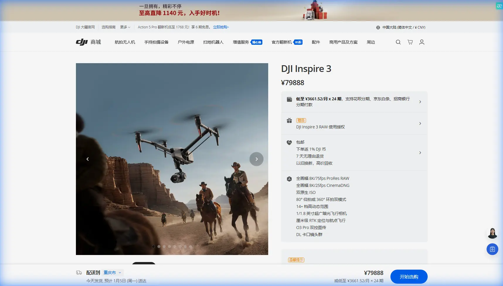
Inspire 3 for Windy Highway Monitoring: A Technical Review Grounded in Reliability, Data Discipline, and Field Workflow
META: A technical review of using Inspire 3 for highway monitoring in windy conditions, with practical insight on transmission, hot-swap workflow, mapping discipline, and why contamination control thinking matters in real operations.
Highway monitoring looks simple from a distance. Put a drone in the air, fly a corridor, gather imagery, and hand the files to engineers or asset managers. In the field, especially in wind, it becomes a discipline problem. Stability matters, but so does what happens before takeoff, between battery changes, during data transfer, and inside every maintenance cycle. That is exactly where the Inspire 3 earns serious attention.
I’m looking at this aircraft through the lens of real operational work, not spec-sheet theater. The mission here is roadside and highway observation in windy conditions: pavement change detection, slope and embankment review, drainage checks, bridge approach assessment, incident documentation, thermal signature review of suspect surfaces or electrical roadside assets, and photogrammetry along long transport corridors. In that environment, the best platform is not just the one that flies well. It is the one that stays reliable across repeated sorties, maintains clean data integrity, and reduces downtime when conditions are less forgiving.
The Inspire 3 stands out because it supports that full chain better than most aircraft in its class.
Wind on highways exposes weak systems fast
Highways create their own aerodynamic headaches. Open lanes, cut slopes, passing trucks, overpasses, and sound barriers all disturb airflow. A drone that behaves nicely in a calm demo field can become frustrating when crosswinds start stacking up over a median or bridge deck. For corridor work, that affects three things immediately: image overlap consistency, pilot workload, and total mission time.
This is where the Inspire 3’s airframe class and professional flight behavior matter more than flashy marketing terms. In windy monitoring work, a stable aircraft helps preserve camera orientation and track discipline, which directly improves photogrammetry output. If overlap degrades or the aircraft drifts excessively between passes, your GCP workflow becomes more corrective than confirmatory. You spend extra time cleaning datasets that should have been collected right the first time.
Compared with smaller prosumer platforms, Inspire 3 gives crews a more confidence-inspiring operating envelope for long roadside runs. That does not mean ignoring weather planning. It means the aircraft is better suited to absorb the turbulence and directional changes that come with highway infrastructure inspections.
Why a highway monitoring drone must be judged by workflow, not just image quality
Many teams shopping for an Inspire 3 already know it can produce excellent visuals. That is not the real decision point. The real question is whether it improves the pace and reliability of repeated infrastructure missions.
For highway operations, hot-swap batteries are not a convenience feature. They are a schedule protection feature. Long linear missions often require segmented flights from safe staging points, sometimes with traffic management considerations or narrow windows for access. When crews can swap power quickly and keep the aircraft and payload workflow moving, they preserve continuity across passes and reduce the amount of time the operation remains exposed roadside.
That matters more in wind. Wind increases power draw, slows repositioning, and can stretch each segment. A system that lets the crew recover, swap, relaunch, and continue without a lengthy reset is operationally superior. Inspire 3 is strong here, and that alone can make it a better corridor platform than aircraft that look cheaper or lighter on paper but waste time at every turn.
O3 transmission is not just a convenience in corridor work
Highway monitoring often means long sightlines mixed with interference pockets near gantries, utility crossings, traffic systems, and built structures. A robust transmission link is not optional. O3 transmission plays a practical role by improving link confidence and giving pilots a cleaner control experience when flying near infrastructure complexity.
For inspection and monitoring contractors, that translates into smoother camera operations, fewer aborted runs, and better crew confidence when holding a precise track line. If your mission profile includes elevated structures, cuttings, interchange loops, or bridge approaches, transmission quality becomes part of safety and data quality at the same time.
The same logic applies to AES-256 for data security. Infrastructure clients increasingly care about who touches project files, how footage moves, and whether operational video streams are adequately protected. AES-256 is not just a technical checkbox. It supports procurement acceptance and protects sensitive civilian infrastructure documentation during collection and transfer.
The less glamorous truth: reliability depends on contamination control thinking
Now to the part many drone articles skip.
One of the source references discusses aircraft hydraulic systems and makes a point that translates surprisingly well to serious UAV operations: the use phase is the longest stage and has the most lasting effect on system condition. That principle is dead right for an Inspire 3 fleet used on recurring highway work. The handbook also identifies the main contaminants in hydraulic systems as solid particles, air, moisture, and nitrogen compounds, with solid particles described as the most basic form of contamination. That sounds distant from a drone until you look at where highway operations actually happen.
Road shoulders, aggregate laydown areas, bridge decks, drainage zones, and maintenance compounds are contamination-rich environments. Dust and fine grit are everywhere. Moisture enters through fog, drizzle, wet grass staging, and temperature cycling inside transport cases. The aircraft may not run a classical hydraulic control system like a larger manned platform, but the engineering lesson is still operationally useful: contamination is cumulative, and the usage phase does the damage if your process is sloppy.
The same reference stresses equipping systems with a multifunction purifier to remove different pollutant types effectively. For drone teams, the equivalent is a maintenance and handling protocol that treats airframes, lenses, battery terminals, cooling paths, charging gear, and transport cases as contamination control points rather than afterthoughts. If you are flying Inspire 3 weekly for highway monitoring in wind, your biggest reliability gains may come from disciplined cleaning, sealed storage, clean battery handling, and controlled field maintenance zones.
This is more than housekeeping. It affects mission continuity. Fine particles can compromise connectors, gimbal smoothness, cooling efficiency, and sensor cleanliness. Moisture can cloud optics, disrupt contacts, or accelerate corrosion in support equipment. On a corridor job, every one of those issues can cost a launch window.
The handbook also emphasizes that contamination control is not just about hardware but about training personnel and managing support equipment condition. That is another lesson worth stealing wholesale. Your Inspire 3 is only as dependable as the crew habits around it. Dirty landing mats, uncapped connectors, batteries placed on damp tailgates, lens changes in traffic dust, and poorly maintained charging gear will all show up later as “mysterious” reliability problems.
Data quality is not only a camera problem; it is a math problem too
The second reference is about matrix methods, specifically reducing a general matrix to upper Hessenberg form before computing eigenvalues, often using Householder transformations, and then applying the QR algorithm. On the surface, this seems detached from drone work. In reality, it maps neatly to the back half of highway monitoring: the quality of what you reconstruct depends on stable computation, not just captured imagery.
Photogrammetry pipelines are built on linear algebra. Camera orientation, bundle adjustment, error minimization, and surface reconstruction all rely on large matrix operations. The reference notes that converting a matrix to upper Hessenberg form can save substantial computation, and that this reduction typically requires n - 2 similarity transformations. It also points out that basic QR convergence can be slow, which is why shifted QR strategies are often used. The operational significance for Inspire 3 users is straightforward: high-end corridor mapping is won by stable, efficient data processing, not simply by collecting more pictures.
Why mention this in an aircraft review? Because Inspire 3 users are often running premium capture workflows where data volume and geometric consistency are high enough to justify more rigorous processing standards. If you are monitoring long highway sections, every improvement in image consistency reduces computational strain downstream. Better track control in wind means cleaner tie point geometry. More consistent obliques mean fewer weak areas around slopes, barriers, culverts, and bridge interfaces. Better control with GCPs means you spend less effort forcing a solution and more time validating one.
In plain language: stable flight helps your math.
That is one area where Inspire 3 can outperform lighter competitors. Smaller aircraft can produce good imagery in benign conditions, but when wind starts disturbing attitude and path consistency, their datasets are more likely to create headaches in corridor reconstruction. You may finish the flight and still lose time in the office. Inspire 3 is stronger because it protects both the capture phase and the processing phase.
Thermal and visual inspection in one practical highway program
For highway authorities and civil contractors, the value of Inspire 3 is not limited to cinematic-grade visual capture. It fits into mixed inspection programs where visual condition records are paired with thermal signature review from complementary workflows. That can be useful around electrical cabinets, lighting infrastructure, drainage pump stations, or areas of suspected moisture retention affecting pavement behavior.
Even when the aircraft is not carrying a thermal payload in a given program, the operational mindset matters. Highway monitoring rarely stays in one domain. Teams move between inspection, documentation, model creation, and progress verification. Inspire 3’s professional control environment makes it suitable for organizations that need one aircraft category to anchor several adjacent workflows without dropping into hobby-grade compromises.
BVLOS interest is growing, but corridor discipline still comes first
BVLOS is the phrase many infrastructure teams circle early. The temptation is obvious. Highways are linear assets, and linear assets invite long-range ambitions. But before teams fixate on BVLOS, they should tighten every part of their standard operating model under current approval structures: battery rotation, link quality management, launch site selection, contamination control, GCP placement strategy, and data handoff security.
That is another reason I rate Inspire 3 highly. It is a platform that rewards professional discipline. If your organization is progressing toward more advanced corridor operations, including more scalable route monitoring, this aircraft gives you a better foundation than systems that are easy to buy but harder to standardize.
Where Inspire 3 clearly excels against competitors
The easiest comparison is not sensor size or headline resolution. It is mission resilience.
Against smaller folding drones, Inspire 3 generally offers a more robust professional workflow for windy highway work: better stability, stronger operator confidence, faster turnaround through hot-swap batteries, and a platform philosophy that fits controlled, repeatable infrastructure documentation. Those advantages compound over a full day. You feel them in fewer interrupted runs, fewer borderline datasets, and fewer maintenance surprises.
That is the difference between a drone that can monitor a highway and a drone that a serious highway team wants to build a program around.
If you are evaluating whether it fits your own corridor inspection plan, you can message Dr. Lisa Wang’s team here to discuss workflow design, payload strategy, and field procedures.
Final assessment
For windy highway monitoring, Inspire 3 is at its best when treated as a professional capture system rather than a flying camera. Its strongest advantage is not one isolated feature. It is the way flight performance, O3 transmission, hot-swap continuity, secure data handling with AES-256, and high-end processing potential come together in a workflow that tolerates real infrastructure conditions.
Two lessons from the source material sharpen that view. First, contamination during the usage phase has the longest-lasting effect, and solid particles are the most basic contaminant. For highway drone crews, that means maintenance discipline is not optional; it is part of aircraft performance. Second, high-value data products depend on efficient matrix methods such as Hessenberg reduction and QR-based computation. In practical terms, stable capture in wind reduces downstream processing friction and improves the reliability of your photogrammetry outputs.
That is why Inspire 3 deserves serious consideration for this mission profile. Not because it looks premium, but because it behaves like a platform built for teams that need repeatable results under demanding field conditions.
Ready for your own Inspire 3? Contact our team for expert consultation.