Inspire 3 for Coastal Survey Work: A Reliability
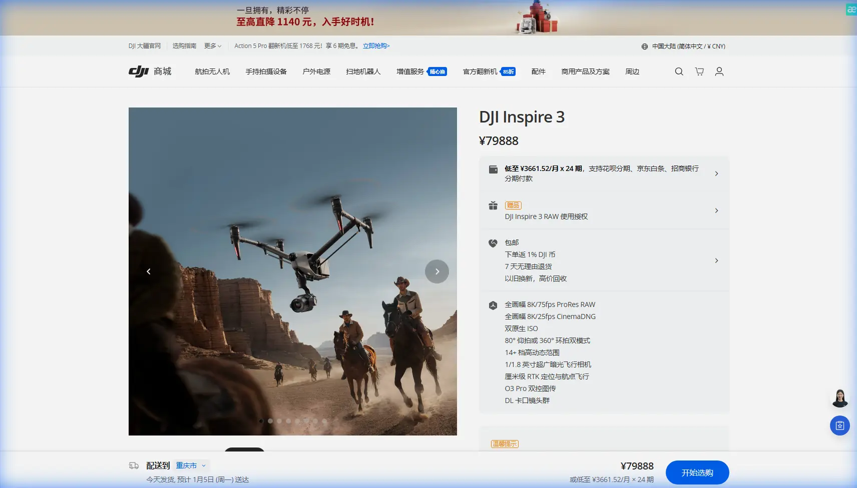
Inspire 3 for Coastal Survey Work: A Reliability-First Technical Review
META: Expert review of the DJI Inspire 3 for coastal scouting, with a focus on reliability, maintainability, materials behavior, workflow resilience, and real-world survey performance.
When people talk about the Inspire 3, they usually start with image quality, flight performance, or how cleanly it fits into high-end production pipelines. For coastal survey work, that is only half the story.
The harder question is whether the aircraft can keep delivering when salt air, moisture swings, repeated transport, tight turnaround windows, and long mission days start exposing weak points in both equipment and workflow. If you are scouting coastlines for mapping, erosion monitoring, infrastructure assessment, habitat documentation, or site planning, the value of the platform is not just what it captures. It is how predictably it keeps operating.
That is where an aircraft-design mindset becomes useful.
Two reference threads matter here. One comes from classic aircraft maintainability design thinking: accessibility analysis, qualitative maintainability analysis, standardization and interchangeability, safety analysis, and the discipline of assigning personnel to subtasks while measuring task duration against target values. The other comes from materials engineering: stress-strain behavior, fatigue performance, thermal properties, and the cautionary notes attached to materials in real use. Those may sound distant from a modern UAV review, but for an Inspire 3 working in coastal conditions, they explain more than most spec sheets ever will.
Why coastal operations punish small weaknesses
Coastlines are messy operating environments. Moisture can change by the hour. Fine salt deposits accumulate where you do not immediately see them. Launch areas are often improvised. Wind may be manageable at one altitude and unstable at another. On some jobs, you are moving repeatedly between short flights, battery swaps, lens changes, and rapid repositioning to follow tide windows or shifting light.
In that setting, “reliability” is not an abstract engineering term. It is the difference between finishing a shoreline photogrammetry block before conditions turn, or losing continuity in the dataset and having to return with fresh GCP validation. It also affects visual and thermal signature collection if you are documenting temperature variation in tidal zones, outfall areas, or rooflines on coastal structures.
The Inspire 3 has obvious strengths here. O3 transmission helps when working along broken coastline geometry where line-of-sight can be visually deceptive. AES-256 matters more than many operators admit when survey data includes sensitive private developments, industrial waterfronts, or critical civil assets. Hot-swap batteries reduce downtime between flights, which is especially useful when tide or sunlight gives you a narrow capture window.
Still, those strengths only pay off if the aircraft system is treated the way a professional aviation platform should be treated: as a maintainable field tool, not just a camera in the sky.
The hidden metric: maintainability under pressure
One of the most relevant points in the reference material is the emphasis on maintainability analysis, including accessibility analysis and qualitative evaluation of service tasks. That maps directly onto the Inspire 3 in coastal work.
Accessibility is not glamorous, but it determines field tempo. Can the crew quickly inspect and clean the areas most exposed to salt residue? Can they confirm connector condition, prop attachment integrity, landing gear status, and battery seating without slowing every sortie to a crawl? Can the gimbal and vision-related surfaces be checked and protected between flights in blowing sand or mist?
A platform used for shoreline scouting should be judged partly by how easy it is to inspect correctly.
The handbook reference also highlights standardization and interchangeability. Operationally, that means your field kit should be built around repeatable modules: matched batteries, clearly labeled media, standardized packing positions, and swappable accessories that do not create improvisation in the field. The Inspire 3 benefits from this kind of discipline because its real advantage emerges in fast, repeatable mission cycles. If every turnaround is handled differently, the aircraft’s sophistication gets wasted on inconsistent ground procedure.
I have seen this most clearly on multi-stop coastal days where the aircraft itself performs flawlessly, but the mission slows because the team has not broken each sortie into subtasks. The handbook’s point about assigning personnel to each subtask is surprisingly practical here. One person manages landing zone integrity and aircraft recovery. Another handles battery state, payload readiness, and media rotation. A third verifies shot completion or mapping coverage. That division cuts dead time and lowers the chance of contamination or rushed setup errors.
For a serious Inspire 3 coastal workflow, task allocation is not bureaucracy. It is throughput protection.
Materials behavior matters more by the sea than inland
The second reference source deals with material classes and their mechanical behavior, including stress-strain curves, fatigue performance, thermal conductivity, expansion coefficients, and “usage precautions.” That last concept is especially relevant.
Any aircraft structure is a compromise between weight, stiffness, thermal behavior, durability, and manufacturability. On a practical level, coastal operators should care less about the exact metallurgy and more about the consequences: repeated environmental cycling changes how components age, how tightly assemblies remain aligned, and how carefully they must be handled after transport and intensive use.
The reference material’s stress-strain sections are a reminder that structures do not fail only from dramatic impact. They also drift out of ideal condition through accumulated load history. Repeated setup, transit vibration, hard braking in gusty conditions, and frequent launch-recovery cycles all contribute to fatigue exposure. The references explicitly call out fatigue performance and even fatigue crack growth topics in the broader materials framework. For an Inspire 3 owner, the operational meaning is straightforward: routine visual inspection is not enough if it is casual. It needs to be systematic.
After a heavy coastal workday, I would rather spend ten disciplined minutes checking arms, mounts, fasteners, landing interfaces, and payload attachment points than lose a future mission to a preventable issue. That is not paranoia. It is what the materials science is warning you about.
The same source also points to different humidity conditions affecting mechanical performance. Even without turning this into a lab discussion, the field implication is obvious. A drone that goes from an air-conditioned vehicle to humid shoreline air, then back into storage, is experiencing repeated environmental transitions. That can influence everything from condensation risk to the feel and reliability of exposed interfaces. Coastal teams should plan drying, cleaning, and storage as part of flight operations, not as an afterthought.
What Inspire 3 does well for coastline scouting
In real coastal scouting, Inspire 3 shines when the mission needs precision and agility at the same time.
For visual survey and photogrammetry planning, the aircraft’s stable flight behavior helps maintain overlap discipline on shoreline corridors where terrain and water reflection can complicate exposure consistency. If your objective is coastal topography, bluff erosion, marina documentation, or development pre-planning, that stability reduces rework. Pair that with careful GCP placement and validation, and you can build data products that are defendable rather than merely attractive.
For thermal signature work, the value is slightly different. It is less about cinematic motion and more about repeatable positioning and reliable turnaround between passes. Coastal structures, intertidal surfaces, and certain drainage or seepage patterns often need timed captures. Hot-swap batteries support that rhythm well because they compress the dead interval between sorties. On a long coastline, even a few minutes saved per cycle become meaningful.
O3 transmission is another practical advantage near cliffs, dunes, and uneven shoreline development. Coastal geometry can interrupt situational awareness faster than operators expect. A stronger transmission link does not replace proper mission planning or regulatory compliance, especially if you are working near the edge of BVLOS decision-making. But it does improve confidence when flying complex shore contours within legal and operational limits.
AES-256 is not just a brochure checkbox either. Environmental surveys, infrastructure condition records, and private coastal estate imaging often carry confidentiality concerns. Data security matters when the job includes stakeholders who care where footage goes and who can access it.
The accessory that genuinely improved the platform
One third-party addition I have found genuinely useful in coastal operations is a high-quality anti-reflective monitor hood for the controller setup. It sounds minor, but in shoreline work it changes how effectively the pilot and camera operator read exposure, framing, and fine detail under harsh lateral glare.
I would rank it above many flashier add-ons because coastal light is rarely cooperative. Water reflections can flatten apparent contrast, mask edge detail, and make subtle thermal or visual anomalies harder to spot in real time. A simple field-ready hood improves interpretive accuracy during mission execution, which reduces “we should probably refly that” moments later.
If you are building an Inspire 3 kit for serious shoreline work and want a practical equipment discussion, this is the kind of operational detail worth sharing with an experienced team via direct project chat.
A professional coastal workflow built around reliability
If I were structuring an Inspire 3 coastline program from scratch, I would borrow directly from the maintainability logic in the aircraft design reference.
First, define subtasks before arrival on site. The handbook’s emphasis on assigning personnel to each subtask is not theoretical. It reduces confusion during battery changes, lens swaps, and rapid movement between shoreline positions.
Second, measure real turnaround time against target time. The source specifically mentions comparing elapsed time with target values. For UAV teams, that is a powerful but underused habit. If your target battery swap and relaunch interval is 3 minutes, but field reality is 8, something is wrong with your kit layout, role allocation, or contamination control. The solution is usually procedural, not technological.
Third, standardize and interchange wherever possible. The maintainability reference explicitly treats standardization and interchangeability as core concerns. On an Inspire 3 coastal job, that means consistent battery labeling, fixed case organization, repeatable preflight checks, and media handling that no one has to “figure out” under pressure.
Fourth, build cleaning and inspection into the sortie cycle. The materials reference’s attention to usage precautions and fatigue-related behavior supports this. Salt exposure and repeated mechanical loading are not dramatic until they are. A short post-flight wipe-down and structured inspection protect mission continuity better than reactive maintenance later.
Fifth, do not confuse capability with immunity. Inspire 3 is a serious platform, but no aircraft becomes carefree just because it is advanced. Coastal work rewards operators who think like system managers.
Where expert teams separate themselves
The strongest Inspire 3 coastal operators are not the ones with the longest accessory list. They are the ones who understand that image quality, transmission reliability, mission safety, and long-term asset health are linked.
That is why the reference material, old-school as it may seem, still matters. One source points to maintainability through accessibility analysis, qualitative maintenance assessment, standardization, and task-time comparison. The other points to stress-strain behavior, fatigue performance, and in-use precautions under changing conditions. Together, they form a practical lens for evaluating how an Inspire 3 should actually be deployed on the coast.
And through that lens, the aircraft looks very strong.
Not because it is perfect, but because it supports disciplined operations unusually well. It can move quickly between sorties. It handles complex visual tasks without becoming cumbersome. It supports secure workflows. It has the transmission robustness and field rhythm that shoreline missions demand. Most importantly, it rewards teams that treat maintenance and handling as mission-critical, not as chores after the fact.
For coastal scouting, that is the real standard. Not whether the drone can produce a beautiful frame, but whether it can produce a complete, consistent, defensible dataset across a long day in a corrosive environment without the workflow starting to fray.
That is where Inspire 3 earns respect.
Ready for your own Inspire 3? Contact our team for expert consultation.