Inspire 3 at High Altitude: A Field Report for Construction
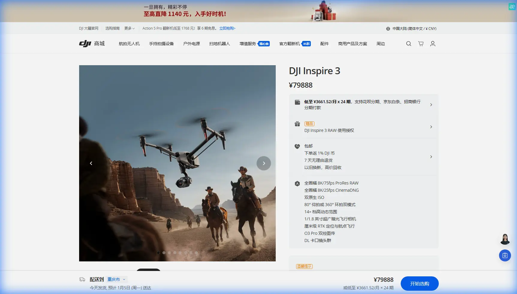
Inspire 3 at High Altitude: A Field Report for Construction Site Scouting
META: Expert field report on using Inspire 3 for high-altitude construction scouting, with practical notes on interference management, structural reliability thinking, control discipline, and mission planning.
I’ve spent enough time around mountain projects to know that “site scouting” sounds cleaner on paper than it feels in the field. At elevation, construction surveys become a layered problem: thin air, shifting wind, reflective steel, unstable communication paths, and crews who need usable intelligence fast. That is where the Inspire 3 starts to separate itself—not as a luxury airframe, but as a disciplined imaging platform when the worksite is difficult and the tolerance for mistakes is low.
This report is built around a specific scenario: scouting construction sites in high altitude terrain, where visual mapping, progress verification, thermal signature review, and repeatable data capture all need to happen on the same day. The interesting part is not simply that the aircraft can fly the mission. It’s how the mission is prepared and controlled when conditions punish shortcuts.
What changes at altitude
A high-altitude construction site compresses several risks into one operating envelope. Transmission quality can dip when the aircraft slips behind ridgelines or unfinished concrete cores. Wind behaves differently along cut slopes and tower faces. Battery strategy matters more because repositioning is slower and reserve margins disappear quickly if the weather turns.
With Inspire 3, most operators talk first about image quality. Fair enough. But on mountain jobs, I pay just as much attention to operational continuity. O3 transmission stability, secure data handling through AES-256, and hot-swap batteries are not side notes here. They affect whether your team captures a complete site record before cloud cover closes in or interference starts to build around the structure.
That matters especially for construction stakeholders who rely on photogrammetry outputs to compare grading progress, crane placement, haul road status, and facade sequencing against schedule. A beautiful data set that arrives with gaps, drift, or inconsistent overlap is not a deliverable. It is rework.
The first lesson: treat the airframe like a system, not a camera
One mistake I still see in the field is the tendency to reduce drone prep to batteries, lenses, and flight permissions. On remote construction jobs, that mentality is too shallow. The deeper lesson comes from older aircraft engineering logic: reliability comes from how every structural and control decision supports the whole system.
One reference detail that stands out is the engineering emphasis on reducing weight while increasing stiffness by choosing a larger tube diameter for a strut. That tradeoff—lighter overall, stiffer where needed—is not academic trivia. Operationally, it points to a truth every serious Inspire 3 crew should respect: structural rigidity is not just a design boast. It directly affects imaging stability, vibration behavior, and confidence in repeated flight patterns over uneven terrain.
Why does that matter for a construction scout? Because repeatability is everything. If you are flying the same corridor every week for photogrammetry, or matching obliques over a retaining wall sequence, stiffness and vibration control influence the consistency of your data capture. The cleaner the aircraft holds its path and camera geometry, the less you fight downstream processing.
The same reference also stresses strict control of dimensions like outer diameter, wall thickness, straightness, roundness, and wall uniformity in steel tubing. Translate that into drone operations and the message is straightforward: don’t normalize small physical deviations in your aircraft setup. On a demanding Inspire 3 mission, preflight should include close attention to prop condition, arm lock certainty, gimbal seating, landing gear behavior, and any signs of transport stress. At altitude, minor mechanical compromises become visible much faster.
Corrosion thinking belongs in mountain drone work too
Another highly practical detail from the engineering material is the use of protective treatment inside and outside welded steel tubes. Before welding, a high-humidity-resistant coating is introduced inside the tube; after welding, it continues protecting the metal surface without degrading weld quality. Then the internal surface receives anti-rust oil, while the exterior gets primer and finish coats for long-term protection.
This is helicopter support-structure thinking, but the operational significance maps surprisingly well to Inspire 3 fieldwork. High-altitude construction jobs often create an ugly moisture profile: cold mornings, midday thaw, fog intrusion, dust, and transport cases opening and closing between temperature swings. Even if the drone itself is not built like a welded industrial strut, the maintenance mindset still applies. Moisture control, surface inspection, dry storage discipline, and post-flight wipe-downs are not cosmetic habits. They are part of keeping sensors, connectors, and mechanical interfaces trustworthy over a long project cycle.
When a team starts seeing intermittent faults on week six of a mountain deployment, the cause is often not dramatic. It is usually accumulated neglect.
EMI around steel and rebar: the antenna problem nobody should ignore
The field complication that deserves more attention is electromagnetic interference. On high-altitude builds, especially around reinforced concrete cores, temporary power infrastructure, steel staging, lift systems, and active communications equipment, EMI can distort what would otherwise be a simple line-of-sight mission.
This is where antenna adjustment becomes a genuine operator skill rather than a checkbox.
If I’m staging an Inspire 3 near a structure with known interference risk, I avoid standing too close to steel containers, parked machinery, or temporary generator setups. Then I set the pilot position with one priority: preserve a clean geometry between the controller antennas and the aircraft’s expected route. Not “roughly pointed in the right direction.” Deliberately aligned.
With O3 transmission, maintaining the right antenna orientation and avoiding body-blocking are basic but still too often mishandled. In mountain terrain, a few degrees of route change can place the aircraft behind a concrete edge or crane mast long enough to create signal instability. If I see transmission quality pulse during ascent, I do not push deeper into the mission hoping it will settle. I pause, yaw for a cleaner aspect if safe, and if needed reposition the pilot station before the mapping run starts.
That small decision protects the larger objective: stable capture.
Construction clients care about outputs, not pilot technique. But pilot technique is what keeps the outputs usable.
Control discipline: a lesson borrowed from radio systems
One of the reference documents discusses a motor-control setup in a radio system, including a hardware switch for motor control, setting an explicit motor-off position, and only then adjusting speed behavior. There is also a safety-oriented instruction to verify initial operation with the propeller removed. Although this comes from a model control context, the principle is operationally relevant.
For Inspire 3 crews, the lesson is that control logic should be explicit, not assumed.
Before launching on a high-altitude scouting task, I want every role-critical function mentally mapped and physically confirmed: takeoff mode, return behavior, payload response, battery status, home point integrity, and what I call “abort muscle memory”—the sequence the pilot will use if transmission quality degrades near a structure. That sounds elementary until you watch a team lose precious seconds because they never normalized their workflow.
The radio reference’s insistence on defining the OFF position before speed settings is valuable because it reflects a hierarchy of safety: first establish what stops the system, then tune performance. In drone terms, first establish the aircraft’s safe recovery pathway, then optimize the mission profile.
That order matters much more in the mountains than on an open training field.
Photogrammetry in steep terrain: where discipline beats enthusiasm
For high-altitude construction mapping, Inspire 3 can serve well when the operator respects terrain geometry. Site managers usually want one or more of the following:
- progress orthomosaics
- stockpile and cut/fill review
- access road condition checks
- facade or slope inspection
- thermal signature review for envelope anomalies, drainage behavior, or equipment hotspots
The temptation is to cover all of it in one sweeping flight. Usually that produces compromised overlap, inconsistent altitude above ground, and poor edge definition in steep sections.
A better approach is segmentation.
Break the site into terrain-consistent blocks. Use GCP-backed workflows where survey-grade repeatability matters. If the site has a vertical component—such as retaining walls, stepped excavation, or a tower face—do not rely solely on nadir coverage and expect the software to rescue you. Build a capture plan that respects the subject geometry.
This is where Inspire 3’s stability and transmission confidence become practical strengths. If the aircraft can hold a repeatable pattern and you can preserve a trustworthy downlink while working the slope edges, your photogrammetry output will require less correction later. That saves time not only for the drone team, but for engineers and planners consuming the model.
Thermal work: useful, but only when placed in context
The phrase thermal signature gets overused. On construction sites, thermal data is not inherently meaningful until it is linked to a physical question. Are you checking for moisture pathways in newly enclosed sections? Looking for unusual heat around temporary electrical distribution? Comparing curing behavior? Evaluating roof membrane irregularities?
If thermal collection is part of the mission, I recommend treating it as a separate pass with its own timing logic, not an afterthought attached to a visual mapping run. Morning conditions often tell a different story than midday sun exposure. On a mountain site, local shading can distort interpretation across short distances. That means your operator notes should be as disciplined as your imagery.
The aircraft gives you access. The value comes from how precisely you define the inspection objective.
Battery strategy at altitude: hot-swap is a workflow advantage, not a convenience feature
Hot-swap batteries are one of those features people mention casually until they have to operate on a narrow weather window. On a high-altitude project, they become a mission-preserving tool.
When one battery cycle finishes, rapid turnaround helps you maintain lighting consistency and preserve your site control rhythm. That matters for repeat progress documentation. If the team spends too long cycling power and rebuilding the aircraft state between sorties, the sun angle shifts, shadows move, winds change, and the site begins to look like a different project.
Hot-swap capability helps protect continuity. It also reduces the temptation to overextend a flight in order to “just finish this section,” which is a poor habit in any terrain and a dangerous one around slopes, structures, and variable winds.
Data security and handoff
Many construction operators still underestimate the sensitivity of aerial site data. A high-resolution site model can reveal sequencing, structural details, access limitations, and contractor activity patterns. On large projects, secure handling is not optional.
That is why AES-256 matters. Not because it sounds impressive, but because construction data increasingly moves through shared ecosystems with multiple stakeholders. If your team is documenting a strategic site, transmission and storage discipline should be considered part of professionalism.
If your crew is still improvising file naming, card handling, and upload methods in the field, fix that before scaling operations. The aircraft can only protect part of the chain.
What I tell crews before launch
My high-altitude Inspire 3 briefing is usually short:
Check the route against terrain shielding.
Confirm antenna orientation before takeoff.
Assume interference near steel.
Segment the mission.
Protect overlap.
Use GCPs where the result must stand up to engineering scrutiny.
Do not blend thermal and mapping objectives unless the timing genuinely works.
Use hot-swap discipline to preserve consistency.
Treat the aircraft like a precision tool, not a flying camera.
And if the site conditions are unfamiliar, ask before improvising in the air. For teams that want to compare mission setups or troubleshoot a difficult mountain environment, I often suggest using this direct field coordination channel: message James here.
The bottom line from the field
Inspire 3 is at its best on high-altitude construction scouting when the operator respects the entire mission stack: structure, controls, transmission, maintenance, capture geometry, and data handling.
The engineering references behind this discussion may seem far removed from modern UAV workflows, yet they carry a sharp lesson. Aircraft reliability starts with disciplined treatment of materials, joints, protection layers, and inspection standards. One reference even calls for 100% X-ray and stress-based inspection on critical first-class welds. The point is not to compare a drone directly to a helicopter support member. The point is to adopt the same seriousness about critical components and mission preparation.
Likewise, the radio-control reference is useful because it insists on defining safe system behavior before tuning output performance. For Inspire 3 crews working difficult construction terrain, that is exactly the mindset that reduces preventable errors.
If you scout mountain sites often enough, you stop asking whether the aircraft is “advanced.” The better question is whether your operation is disciplined enough to use it properly.
Ready for your own Inspire 3? Contact our team for expert consultation.