Inspire 3 in Windy Construction Recon: What Old Aircraft
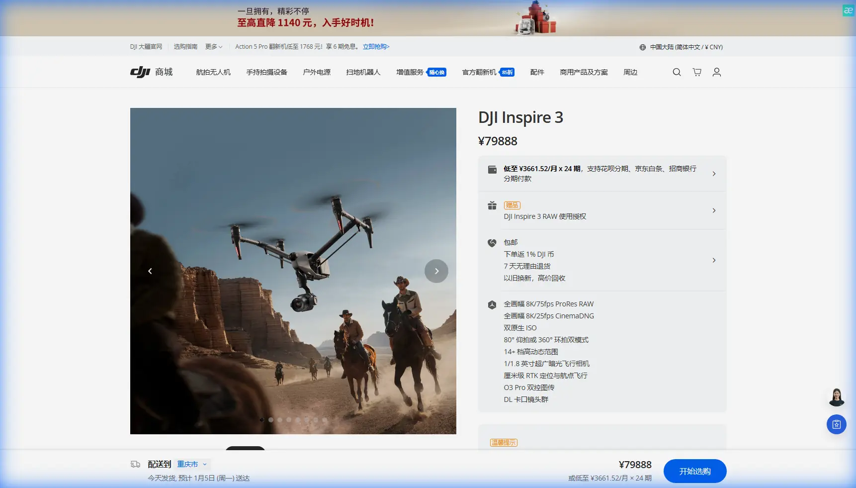
Inspire 3 in Windy Construction Recon: What Old Aircraft Design Rules Still Teach Us
META: A technical review of the Inspire 3 for windy construction site scouting, using aircraft design principles on tube mass, sensor installation tolerance, and measurement stability to explain real-world field performance.
Construction-site scouting in wind exposes a truth that spec sheets rarely capture: aerial performance is not just about camera quality or top speed. It is about how cleanly an aircraft turns engineering into usable information when the air is unsettled, surfaces are dusty, and every pass has to count.
That is why the Inspire 3 is worth discussing through a slightly different lens.
Instead of repeating familiar talking points, I want to frame this aircraft the way a flight systems engineer would. The reference material behind this review comes from aircraft design manuals focused on two things that sound dry until you need reliable data in the field: mass characteristics of streamlined tubing, and the installation logic behind fuel-level sensing systems. On paper, those topics belong to manned aircraft. In practice, they point directly to what matters when an Inspire 3 is used to scout construction sites in windy conditions: weight discipline, structural packaging, sensor stability, and measurement integrity.
Those are the ingredients that separate attractive footage from dependable site intelligence.
Wind turns every scouting mission into a measurement problem
When an Inspire 3 is sent over an active construction site, the mission is rarely just cinematic. The pilot or site team usually wants answers.
Is the crane access clear?
Has erosion started along the cut slope?
Did overnight rain shift material piles?
Are temporary roads still usable for heavy equipment?
Can the grading contractor proceed, or does the topo now need an update?
Wind complicates all of that. It pushes the aircraft off line, disturbs repeatability, and creates small orientation changes that ripple into mapping quality, inspection consistency, and confidence in what the operator thinks they saw. If you are performing photogrammetry around partially erected structures, wind can also create inconsistent image overlap and variable viewing geometry around edges, facades, and stockpiles.
This is where the Inspire 3 earns its place. Not because it magically cancels wind, but because it is built as a serious aerial platform rather than a lightweight compromise. That distinction matters more on construction sites than many buyers realize.
Why mass distribution still matters on a modern drone
One of the reference documents includes calculation data for streamlined tubes, including dimensional and mass figures. A representative entry shows a 60×55 mm tube configuration with a mass value of 4.516 kg/m, while a 35×33 mm configuration is listed at 1.068 kg/m in another form. The exact aircraft context is different, but the design lesson is timeless: shape and section choice influence weight fast, and weight compounds across the system.
For drone operators, that matters because every structural member, mounting bracket, antenna housing, payload support, and accessory decision contributes to how the aircraft behaves in gusts.
With the Inspire 3, field performance in wind is not only about raw motor authority. It is also about how efficiently the airframe carries that authority. Structural design that keeps drag controlled while preserving stiffness gives the aircraft a better chance of holding attitude cleanly, resisting oscillation, and staying predictable during track lines and orbit paths near partially built structures.
A construction scout flying in open terrain beside steel frames or concrete cores sees this immediately. Gusts at roofline height are one thing; gusts curling around exposed framing are another. In those conditions, an aircraft with sloppy mass management becomes busy in the air. You see it in small corrections, inconsistent framing, and extra battery drain. A more disciplined platform stays calmer, which directly improves image consistency for progress documentation and photogrammetry.
That tubing reference also reminds us not to treat accessories casually. I have seen teams mount third-party add-ons with no thought for drag or placement. One useful exception is a well-designed third-party RTK base station kit with a hardened tripod and survey pole workflow, which can materially improve GCP verification and mapping repeatability without burdening the aircraft itself. That is the right kind of enhancement: capability added at the mission level, not random weight hung on the drone.
Sensor accuracy is not just about the sensor
The second reference document is even more relevant to serious site work. It discusses oil-level sensor installation in aircraft and makes a sharp engineering point: a sensing element only tells the truth if its installation allows it to track the real system state without lag or distortion.
One line stands out. The document explains that if the lower gap parameter, Ahi, is too small, the liquid level inside the sensing tube may fail to rise and fall in step with the liquid level in the tank, causing measurement error. It also notes that installation position deviation effectively shifts the designed height-to-volume curve and creates additional error. In other words, even a correctly designed sensor becomes unreliable if the geometry around it is wrong.
Translate that to drone operations and the message is obvious: the payload is only as trustworthy as the platform conditions supporting it.
For an Inspire 3 scouting a windy construction site, the equivalent issues are vibration isolation, mounting precision, calibration discipline, and repeatable flight geometry. If the aircraft is being asked to collect thermal signature data for roof moisture, façade heat loss, curing irregularities, or overloaded temporary electrical runs, small physical inconsistencies can turn into bad interpretation. The same goes for visible-light inspection and photogrammetry. If camera alignment, gimbal behavior, or mission repeatability drift away from the intended geometry, the output may still look impressive while quietly becoming less useful.
That old aircraft sensor rule—make sure the measured medium inside the sensor behaves like the real medium outside it—has a modern drone parallel: make sure what the camera sees from the gimbal truly represents the site, not the aircraft’s instability, vibration, or inconsistent line discipline.
Why installation tolerances should matter to Inspire 3 operators
The same reference gets specific about non-sensing section lengths, citing 15 mm at one flange end and 10 mm at the other for one installation type, and 10 mm at both ends for another. Those numbers are tiny, but the principle is huge. Precision mounting dimensions exist because edge conditions change performance.
Construction drone teams should think exactly the same way.
If you are using the Inspire 3 on recurring site missions, especially in wind, your workflow should include:
- consistent payload mounting checks
- repeatable IMU and compass verification habits
- lens and gimbal seating inspections
- mission templates designed around wind direction
- takeoff locations chosen to minimize turbulent recirculation from walls, containers, and site trailers
These are not clerical details. They are installation tolerances in operational clothing.
I have worked with teams that blamed wind for poor dataset consistency when the real culprit was a stack of smaller deviations: different launch points, inconsistent altitude references, changing flight direction against the light, and no disciplined GCP routine. The aircraft was fine. The method was not.
Inspire 3 and windy site scouting: where it shines
The Inspire 3 makes the most sense on construction reconnaissance when the task demands more than quick overview footage.
That includes:
1. Progress intelligence at scale
Large civil sites, industrial builds, and multi-block commercial developments benefit from an aircraft that can cover ground efficiently while still producing footage and image sets suitable for executive review and technical follow-up. In wind, site managers do not just need “good enough” visuals; they need shots that remain readable and datasets that can be compared week to week.
2. Edge-case flying around structures
Wind behaves badly around half-finished buildings. It accelerates through gaps, curls off parapets, and breaks into localized turbulence near elevator cores and steel frames. A platform with stronger flight discipline gives the pilot more confidence during oblique passes and perimeter scouting.
3. Repeat missions for photogrammetry
Photogrammetry is unforgiving when the operator gets casual. Overlap, angle control, and pacing matter. Add wind, and inconsistency multiplies. Pairing Inspire 3 workflows with RTK support and disciplined GCP placement creates a much more trustworthy mapping process. The aircraft’s role is not merely to take photos. It is to hold a repeatable geometry long enough to make those photos useful.
4. Secure project documentation
Major projects often involve sensitive timelines, subcontractor coordination, and pre-handover defect records. In that context, stable transmission and secure handling are not marketing footnotes. Features such as O3 transmission and AES-256 encryption matter operationally because they support dependable live viewing and better control over project imagery movement across teams and stakeholders.
The windy-site workflow I would actually recommend
If James Mitchell were walking a team into its first serious Inspire 3 construction scouting cycle, I would keep the workflow practical.
Start with a reconnaissance pass, not a mapping pass. Use that first flight to read the wind around the structures, identify rotor wash dust zones, and find the altitude where turbulence becomes manageable. Most mistakes happen when pilots commit immediately to a perfect-grid mindset before understanding the site’s airflow.
Then build the mission architecture around the wind rather than fighting it. Long straight legs should use the most stable headings available, especially for image consistency. Oblique inspection runs should prioritize the sides of structures where gust behavior is more predictable.
If the site needs measurement-grade outputs, establish or verify GCPs early. A drone cannot rescue weak ground control. The best airborne stability in the world will not fix a bad reference framework.
For extended sessions, hot-swap batteries are not a convenience feature; they change the pace of the operation. On a living jobsite, interruptions create friction with superintendents, safety managers, and subcontractors waiting on visual confirmation. Keeping the aircraft moving between sorties shortens field windows and helps preserve lighting consistency across a full scouting block.
And if the team is integrating thermal payload workflows through partner systems or mixed-fleet operations, make sure the interpretation chain is mature. Thermal signature anomalies on construction sites can come from moisture, voids, active electrical loads, reflective surfaces, or simply timing. The image alone is never the verdict.
Third-party accessories that actually earn their keep
The prompt asked for a third-party accessory mention that genuinely enhances capability, so here is one that I endorse in principle for this use case: a survey-grade smart ground control kit from an established geospatial vendor. Not glamorous. Highly effective.
When the Inspire 3 is being used alongside photogrammetry deliverables, a robust GCP workflow does more for decision confidence than many airborne add-ons. It sharpens site comparisons, helps validate earthwork movement, and reduces argument over whether a visible change is real or just a capture inconsistency. On windy days, that external reference becomes even more valuable because it anchors the dataset against the noise introduced by harsher flight conditions.
For teams trying to set up a practical construction scouting workflow around Inspire 3, a direct line for field coordination can help more than another accessory crate; this is the sort of situation where project-side mission planning support becomes useful.
A note on BVLOS and real construction operations
BVLOS gets discussed constantly, often without enough context. For construction, the more immediate reality is not long-distance autonomy. It is controlled, repeatable mission execution inside a complex civilian work zone. Even when a site is large, the operational win usually comes from robust planning, clean crew communication, safe airspace discipline, and reliable data capture—not from stretching distance for its own sake.
The Inspire 3 fits that profile well when handled by operators who think like system managers rather than camera hobbyists.
The bigger lesson from the reference material
The aircraft design excerpts behind this article are old-school engineering documents. They talk about streamlined tubes, sensor-cylinder diameters, installation gaps, flange-mounted assemblies, and tiny dimensional allowances. At first glance, they seem far removed from a modern Inspire 3 mission over a windy construction site.
They are not remote at all.
They remind us that reliable aerial data depends on physical discipline. Keep structures efficient. Control weight. Respect installation geometry. Leave the right clearances. Prevent the sensor from drifting away from the real condition it is supposed to represent.
That is exactly how a good Inspire 3 operation should be run.
On a windy site, the best drone is not the one with the loudest headline feature. It is the one that lets you come home with stable imagery, trustworthy spatial context, secure transmission, and enough operational efficiency to repeat the process next week under different conditions and still compare the results.
That is the standard professionals should hold.
Ready for your own Inspire 3? Contact our team for expert consultation.