Inspire 3 for Remote Field Scouting: A Practical How
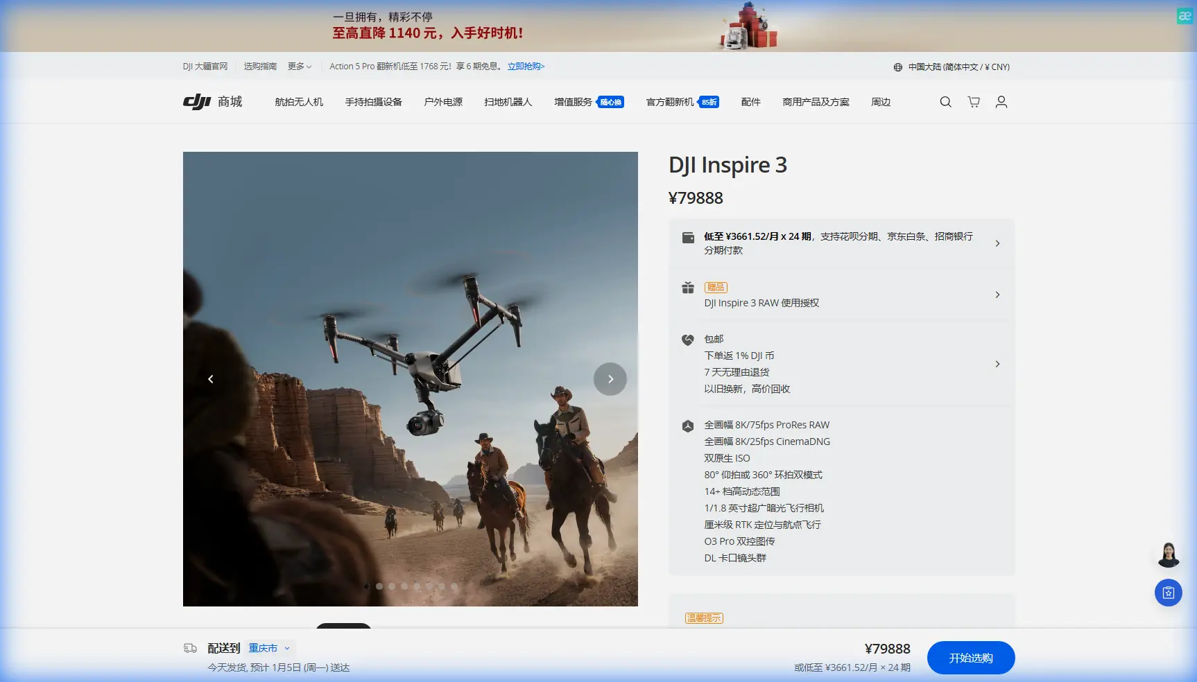
Inspire 3 for Remote Field Scouting: A Practical How-To for Faster, Cleaner Survey Missions
META: Learn how to use DJI Inspire 3 for remote field scouting, photogrammetry planning, transmission reliability, battery strategy, and workflow improvements in real-world survey operations.
Remote field scouting looks simple on paper. Launch, fly, capture, review. Out in the field, it rarely stays that tidy.
You may be dealing with uneven terrain, weak infrastructure, changing light, and long drives between sites. If the mission is tied to crop assessment, land development, utility corridor review, or pre-survey reconnaissance, every delay carries a cost. That is where the Inspire 3 becomes more interesting than its cinema-first reputation suggests. In the right hands, it can be a highly capable remote scouting platform for teams that need reliable aerial coverage, precise repeatability, and efficient field workflows.
This guide is built around that specific scenario: using the Inspire 3 to scout fields in remote areas, where transmission stability, battery management, and data quality matter more than flashy specs.
Why Inspire 3 makes sense for remote scouting
Most people associate the Inspire 3 with high-end production work. That is fair. But some of the same characteristics that matter on a film set translate well to field operations.
Start with reliability in motion. The aircraft’s professional flight platform and O3 Pro transmission system give operators a stronger foundation when working across open farmland, undeveloped tracts, or large rural properties. In remote scouting, that operational significance is straightforward: if your live view drops out or becomes unstable at the edge of a field, your confidence in framing, overlap, and route execution drops with it. Strong transmission is not just a comfort feature. It affects whether you come home with usable data on the first attempt.
Then there is the battery architecture. Inspire 3 uses dual batteries and supports hot-swap workflows. That detail matters more in field scouting than many buyers realize. If you are cycling through multiple short or medium-duration flights to inspect drainage patterns, crop stress zones, access roads, or topographic changes, hot-swapping batteries reduces downtime without forcing a full reboot cycle between sorties. In practical terms, that helps maintain mission tempo when daylight, weather, or site access windows are tight.
The platform also supports AES-256 encryption on transmission and data links. For teams working on commercially sensitive land projects, private estates, infrastructure corridors, or proprietary agricultural operations, that matters. Security is often treated as an afterthought until a client asks how imagery is protected in transit. With AES-256 in the workflow, you can answer that question clearly and professionally.
Step 1: Define what “scouting” actually means before takeoff
Remote field scouting is not one task. It usually falls into one of four buckets:
- Visual reconnaissance for access, terrain, vegetation, obstacles, or change detection
- Photogrammetry pre-planning to assess whether a site is suitable for a later mapping mission
- Progress review for land preparation, drainage work, or rural construction activity
- Condition spotting where the pilot is looking for visible patterns tied to moisture, erosion, standing water, crop inconsistency, or surface disruption
The Inspire 3 is strongest when the mission objective is clear. If you try to combine cinematic orbiting, broad-area site inspection, ad hoc mapping, and low-altitude detail passes in one flight, you can waste battery time and create messy datasets.
Before leaving for the site, decide what success looks like. Do you need a stitched orthomosaic later? Are you trying to identify problem zones for a ground crew? Are you simply validating whether a future survey needs GCP placement? The answer changes how you fly.
Step 2: Build a scouting flight plan that respects the platform
For remote areas, efficiency beats improvisation. The Inspire 3 is capable, but it is not a toy-class “send it and see” drone. A good field plan usually includes three layers.
Layer one: high-altitude orientation pass
Begin with a broad pass high enough to understand field boundaries, terrain transitions, tree lines, road access, and any structures that may interfere with later low-altitude work. This first pass is not about detail. It is about context.
Operationally, this helps with two things:
- It lets you identify wind behavior and RF conditions early.
- It reduces the chance of wasting low-level battery time searching for the area that actually matters.
Layer two: targeted detail flight
Once you identify specific zones, move lower and fly more intentionally. This is where the Inspire 3’s image quality becomes useful for spotting drainage issues, ruts, canopy irregularity, disturbed soil, or signs of infrastructure wear around remote assets.
If the mission may lead into photogrammetry later, fly these passes with overlap discipline in mind even if you are not doing a full mapping run that day. Scouting footage often becomes the basis for planning more formal capture.
Layer three: repeatable reference pass
If you expect to return weekly or monthly, finish with a repeatable route that can be recreated under similar conditions. That consistency is underrated. In agriculture and land monitoring, trend visibility often matters more than one spectacular capture session.
Step 3: Use Inspire 3 as a photogrammetry scout, not a shortcut substitute
The phrase photogrammetry gets thrown around too loosely. A scouting flight is not automatically a mapping flight.
The smarter use of Inspire 3 in remote field work is often as a photogrammetry readiness tool. You can use it to assess:
- line-of-sight challenges
- elevation variation across the field
- safe launch and recovery locations
- likely GCP positions
- tree cover or reflective surfaces that may complicate reconstruction
- whether one battery cycle can cover the intended grid area
That mention of GCP is worth pausing on. Ground Control Points are still one of the most practical ways to improve absolute positional confidence for survey-grade outputs. Even if the Inspire 3 mission itself is primarily reconnaissance, scouting the site in advance can tell you whether GCPs will be easy to place, visible from altitude, and safely accessible to the crew. That can save hours on a later formal mapping day.
This is where experienced operators separate themselves from casual flyers. They do not force every platform into every mission. They use the Inspire 3 to reduce uncertainty before committing the full survey workflow.
Step 4: Be realistic about thermal expectations
The context around this article includes the phrase thermal signature, so it needs a straight answer.
The Inspire 3 is not a dedicated thermal inspection aircraft out of the box. For field scouting, that means you should not frame it as your primary tool for thermal-based diagnostics the way you would with a purpose-built thermal payload platform. If your job depends on heat-loss analysis, hotspot detection, or temperature-differential inspection, use the right system for that mission.
Where “thermal signature” still matters is at the planning level. During remote scouting, visual imagery from Inspire 3 can help you identify areas that deserve a later thermal pass by another aircraft. For example:
- patches of abnormal irrigation behavior
- suspected drainage blockages
- stressed vegetation zones
- equipment or structures that may later require thermal confirmation
That is a more professional way to deploy the platform: let Inspire 3 handle broad visual intelligence and use specialized thermal tools only where the visuals justify the extra deployment.
Step 5: Make transmission reliability part of the mission design
Remote fields can be deceptively open. Wide open space is not the same thing as perfect signal conditions.
Small ridges, lines of trees, metal buildings, irrigation systems, parked equipment, and even the position of your pilot station can affect link quality. Inspire 3’s O3 transmission capability gives you a strong baseline, but the operational lesson is not “ignore the environment.” It is “use that reliability to stretch efficiency, not carelessness.”
A few best practices matter here:
- Stand where your antenna orientation favors the mission area, not where the truck is conveniently parked.
- Avoid launching from a low bowl or depression if the field rises around you.
- Use your first orientation pass to note dead spots or link fluctuations.
- If the site is large enough to tempt long-range habits, remember that visual oversight and local operating rules still define the mission envelope.
The mention of BVLOS in your planning vocabulary is also worth handling carefully. For many commercial teams, Beyond Visual Line of Sight is a regulatory pathway, not a casual flight style. If your operation is structured for BVLOS approvals, the Inspire 3 can inform route planning and corridor assessment. If not, do not let a strong transmission system blur the difference between capability and legal authority.
Step 6: Use hot-swap batteries to compress field time
Battery strategy is where remote work often falls apart. Not because the aircraft underperforms, but because the crew underplans.
Inspire 3’s hot-swap batteries are one of its most practical field advantages. In rural scouting, every minute saved on the ground can matter when:
- weather windows are closing
- cloud cover is changing the look of the site
- access permissions are limited
- you need several flights across separate parcels before sunset
A disciplined routine helps:
- Land with a clear note about what was covered and what remains.
- Swap batteries immediately.
- Confirm next segment before relaunching.
- Keep image review brief in the field unless you are checking for a mission-critical miss.
The goal is continuity. Too many operators burn time second-guessing footage they could review properly later, then end up rushing the final flight of the day.
Step 7: Add one accessory that genuinely improves field output
A good third-party accessory should solve a real problem, not decorate the rig.
For remote field scouting, one of the most useful additions is a high-bright third-party monitor hood or sunshade system for the ground station setup. It sounds minor until you are standing in harsh midday light trying to evaluate subtle surface changes on a reflective screen. Better visibility on the controller side directly improves decision-making in the air.
Another strong option is a portable third-party landing pad with weighted edge design for dusty or stubbly field conditions. Remote agricultural and undeveloped sites are rarely kind to equipment. Cleaner takeoffs and landings reduce contamination risk around sensitive gear and save time on maintenance.
If you are building a more serious field kit and want recommendations tailored to your site profile, you can reach out here via direct field workflow chat.
Step 8: Protect client data from day one
Commercial scouting is increasingly tied to sensitive land data. That includes development sites, utility routes, crop performance patterns, and privately owned large-acreage properties.
This is where AES-256 stops being a brochure detail and becomes part of your operational professionalism. Secure transmission helps reduce exposure when handling valuable visual information in the field. If your client asks how you protect captured imagery and live feed data, your answer should be built into the workflow, not improvised after the fact.
Also remember that security is not just airborne:
- control media access after landing
- label and isolate project storage
- avoid unnecessary device syncing in the field
- maintain a clean handoff process when multiple crew members review footage
Step 9: Know when Inspire 3 is the right tool, and when it is the scout for another tool
This may be the most useful advice in this entire guide.
The Inspire 3 is excellent for high-quality visual scouting in remote fields. It can help teams inspect conditions, define future survey scope, identify GCP strategy, document terrain change, and move quickly between repeated sorties thanks to hot-swappable batteries. Its O3 transmission improves confidence over large open areas, and AES-256 supports secure professional operations.
But the best operators do not force one aircraft into every role.
If the end goal is strict survey deliverables, a dedicated mapping workflow may come next. If the end goal is thermal anomaly detection, a thermal-equipped platform may follow. If the end goal is repeatable corridor monitoring under advanced approvals, BVLOS-capable operational design and compliance planning become part of the conversation.
Used this way, Inspire 3 becomes something more valuable than a one-mission machine. It becomes the aircraft that reduces uncertainty before the rest of the project scales.
A field-tested workflow that actually holds up
If I were sending a crew to scout remote fields with Inspire 3 tomorrow, the workflow would look like this:
- Arrive early enough to assess wind and launch position
- Run one broad orientation pass
- Mark areas of interest for low-altitude detail work
- Capture overlap-conscious imagery if mapping may follow later
- Note realistic GCP placement zones during flight review
- Cycle batteries fast using hot-swap discipline
- Keep transmission quality observations in the flight log
- Flag any zones that may justify a separate thermal mission
- Secure all data before leaving the site
That is not glamorous. It is effective.
And in remote operations, effective beats glamorous every time.
Ready for your own Inspire 3? Contact our team for expert consultation.