Inspire 3 in Forest Recon: Flight-Control Discipline
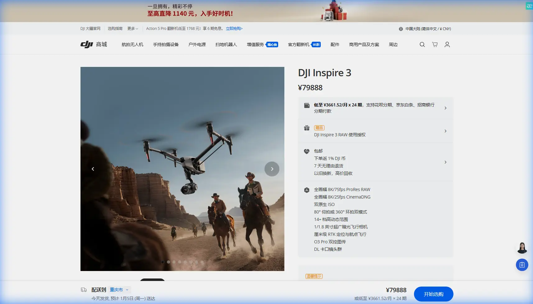
Inspire 3 in Forest Recon: Flight-Control Discipline, Material Realities, and the Right Altitude for Complex Terrain
META: A technical review of DJI Inspire 3 for scouting forests in complex terrain, with practical altitude advice, transmission and thermal workflow notes, and why software validation and material choices matter in real operations.
Forest scouting sounds simple until the canopy starts lying to you.
A ridge throws shadow where there should be detail. A drainage line swallows radio confidence. A stand of dense trees looks uniform from above, but thermal signature and surface texture tell different stories depending on altitude, sun angle, and how stable your aircraft really is under constant micro-corrections. In that environment, the Inspire 3 is not just a camera platform. It is a stack of decisions: flight control behavior, transmission resilience, payload workflow, battery strategy, and even the less glamorous question of how aerospace systems are verified before anyone trusts them over difficult ground.
That last point matters more than most pilots admit.
When people discuss the Inspire 3 for forest work, they usually jump straight to image quality or route planning. Useful topics, but incomplete. In complex terrain, the difference between a productive mission and a compromised dataset often starts earlier, at the system level: how reliably the aircraft software handles edge cases, how thoroughly control logic has been reviewed, and whether the machine remains predictable when valleys, canopy gaps, and uneven light create a chain of small operational stresses.
The reference material behind this article comes from aircraft design texts rather than drone marketing copy, and that changes the conversation in a useful way. One source, from a handbook section on fly-by-wire and active control technology, emphasizes that software optimization for execution efficiency must not damage readability or maintainability. Another section describes static peer review, where experienced software engineers inspect source code against requirements documents, design documents, flowcharts, and data-flow diagrams, then challenge assumptions in discussion until potential errors and required changes are identified. It also highlights test instrumentation that can report statement coverage, branch coverage, execution counts, and the number of times a software unit is called.
That may feel far removed from a forestry mission with an Inspire 3. It isn’t.
In forest scouting, you are trusting the aircraft to behave sensibly through repeated transitions: low-speed orbiting, careful climbs over uneven tree lines, hover corrections in partial GNSS degradation, and return routing through topography that can interrupt link geometry. A system architecture shaped by disciplined review and coverage-driven testing is operationally significant because these missions are rarely “normal range only.” The same reference explicitly separates normal test cases from robust, abnormal-range cases. That is the mindset good forest operations require. You are not only asking, “Will it fly the route?” You are asking, “What happens when one branch of the mission unfolds differently than planned?”
That is where the Inspire 3 earns respect in professional use. Not because every mission is dramatic, but because difficult terrain has a way of exposing sloppy assumptions.
The best altitude for forest scouting with Inspire 3 is usually lower than many teams expect
Here is the practical insight first: for scouting forests in complex terrain, an initial working band of roughly 60 to 90 meters above canopy is often the most productive starting point for Inspire 3 missions, then adjusted by objective.
Why that range?
Above about 100 meters over canopy, you gain broader situational context, but subtle indicators begin to flatten out. Thermal anomalies can blur into background gradients, especially in mixed-species stands or broken terrain where solar loading differs across slope aspect. For photogrammetry, higher altitude improves area coverage per pass, but in forests it also reduces your chances of extracting useful texture from irregular crowns, edges, skid trails, washouts, or small clearings that may matter for access planning and hazard assessment.
Below about 50 meters above canopy, you may gain stronger visual detail and more distinct thermal separation in short windows, but mission efficiency starts to suffer. Clearance management becomes more demanding. Wind interactions above the treetops are often less uniform than pilots expect. Transmission geometry can also deteriorate quickly when working near ridges or descending along terrain. In other words, the lower you go, the more your operation depends on immaculate route design and disciplined line-of-sight management.
So 60 to 90 meters above canopy is often the sweet spot for scouting rather than cinematic flying. It preserves enough detail for actionable observation while reducing the risk of constant obstacle-related adjustments. If the task shifts toward thermal signature detection in early morning or late evening, I usually advise testing one reconnaissance pass near 70 meters above canopy and one tighter verification pass closer to 50 to 60 meters where terrain permits. If the task shifts toward photogrammetry, especially when integrating GCP control on accessible forest roads or clearings, nudging upward toward 80 to 100 meters above canopy may improve consistency and mission completion rate without sacrificing too much interpretability.
The key phrase here is above canopy, not above takeoff point. In complex terrain, that distinction is everything.
O3 transmission and terrain geometry: the hidden planning variable
Forests do not merely block sightlines; they distort confidence.
The Inspire 3’s O3 transmission stack is a genuine asset in these missions because forest work is less about headline range than about maintaining a clean, stable control and video relationship while the aircraft moves across ridgelines, gullies, and mixed vegetation density. In a flat agricultural survey, link behavior is usually predictable. In forested terrain, signal quality can change abruptly with elevation angle and canopy mass between aircraft and operator.
That means your best operational habit is to place the pilot station for geometry, not convenience. A high shoulder, logging landing, or open edge often matters more than shaving a few minutes off the hike. I also advise segmenting missions by terrain basin rather than forcing one long route across multiple shielded zones. This is where BVLOS planning discipline starts long before any formal BVLOS authorization discussion. Even if you are operating within local visual and regulatory constraints, your mission design should behave as if link continuity deserves engineering respect.
Security also deserves mention. Teams scouting commercial timberland, conservation areas, or private estates are often moving sensitive location data, imagery, and sometimes thermal findings that should not casually circulate. AES-256 support is not a decorative spec in that context. It is part of a serious data-handling posture, especially when the mission concerns asset monitoring, disease spread, encroachment documentation, or pre-harvest evaluation.
Thermal and photogrammetry are not competing workflows
A common mistake in forest recon is choosing one sensing logic too early.
Thermal signature work is excellent for exposing animal presence, water seepage zones, stressed vegetation patterns, residual heat from machinery tracks, or subtle anomalies along access corridors. But thermal data alone can be deceptive under dense canopy or changing atmospheric conditions. Photogrammetry, on the other hand, excels at spatial structure, route planning, terrain interpretation, and repeatable measurement when supported by disciplined overlap and GCP placement.
With Inspire 3, the smarter workflow is often sequential.
Use a wider-area visual reconnaissance pass first, typically around that 60 to 90 meter above-canopy band, to understand terrain breaks, light conditions, and transmission behavior. Then run targeted thermal observation in shorter blocks where the terrain and canopy architecture suggest likely anomalies. Finally, if the mission requires mapping outputs, execute a structured photogrammetry mission with overlap designed around canopy complexity rather than generic survey templates.
If you are using GCPs, do not waste them under dense cover where they are barely visible. Place them in openings, road intersections, skid pads, stream crossings, or other durable, high-contrast points with clean sky visibility. In forest mapping, fewer well-chosen GCPs can outperform a larger set of poorly visible ones.
Why software test philosophy matters to an Inspire 3 operator
This is the least glamorous section, and arguably the most valuable.
The aircraft design reference describes several software assurance practices that translate directly into operator confidence. One is static analysis to reveal structural issues, unreachable code, problematic processing sequences, and potential dead loops. Another is instrumentation-based monitoring that records which statements and branches were actually exercised during testing, including how many times a unit was called. That level of coverage matters because flight systems are not judged by whether they survive the obvious case. They are judged by how they behave when logic branches stack up under pressure.
In forest operations, those branches are everywhere:
- changing terrain elevation,
- hover corrections near canopy edges,
- route interruptions,
- variable visibility,
- repeated battery swap cycles,
- payload transitions between visual inspection and thermal checks.
When you rely on an advanced platform like Inspire 3, you are relying on the unseen discipline behind control software as much as the visible aircraft itself. The handbook’s emphasis on maintaining readability and maintainability even while optimizing execution efficiency is especially relevant. Fast code that becomes harder to verify is a liability in aviation. For drone teams, the practical takeaway is simple: prefer mature workflows, current firmware discipline, and repeatable pre-mission validation over improvised “clever” field modifications.
That same source also recommends bottom-up modular testing: verify small modules first, then integrate into higher-level subsystems, and finally test the complete system under varied conditions, including boundary and just-outside-boundary cases. As an operator, you can mirror that logic in your own SOPs. Test your route logic, battery rotation process, image pipeline, and terrain-follow assumptions separately before combining them in a high-consequence forest mission.
Hot-swap batteries change more than turnaround time
Hot-swap batteries are usually discussed as a convenience feature. In forest scouting, they are more than that.
They preserve mission continuity.
Complex terrain punishes stop-start workflows. Light shifts. Thermal windows close. Fog lifts from one drainage and settles in another. Wildlife movement changes. If a battery change forces a full mission reset or long ground delay, your comparative data gets weaker. Hot-swap capability helps maintain the same observation logic across consecutive flights, which is especially useful when you are trying to confirm whether a thermal anomaly was real or simply a transient environmental artifact.
It also reduces operator haste. Teams under pressure often rush relaunches after landing in difficult terrain. A smoother battery process lowers the chance of small procedural errors that creep in during repetitive field work.
Materials are not just a factory concern
The second reference source is a materials handbook page listing aerospace plastic materials, including transparent polycarbonate entries such as Lexan SL 1215, Lexan SL 1303, and Lexan ML 4506, along with processing notes like melt flow values in the 7–12 range for injection molding. At first glance, that seems disconnected from an Inspire 3 forestry mission. It is not.
Why bring up material classes in an operational review? Because forest scouting is hard on exposed surfaces, housings, covers, and field-handled components. Transparent engineering plastics are often selected in aerospace environments because they balance manufacturability, impact resistance, and dimensional usefulness across demanding applications. In practical drone work, that translates to a familiar truth: durability at the component level is what keeps a professional platform usable after transport, setup, repeated battery cycles, and long days in mixed moisture and dust.
You do not need to know a resin family by heart to benefit from the engineering logic behind it. What matters is understanding that professional UAV systems are built from material choices aimed at repeatable service life, not just neat appearance on day one. In forest operations, where kits get packed onto rough ground and handled in awkward clearings, those material decisions quietly affect reliability.
My preferred Inspire 3 workflow for forest scouting
If I were setting up an Inspire 3 mission for a client needing forest reconnaissance in steep or broken terrain, my sequence would look like this:
- Pre-mission terrain review with canopy-height awareness, not just bare-earth mapping.
- Pilot station placement for transmission geometry first.
- Initial pass at 70 to 80 meters above canopy to assess visibility, thermal contrast, and route practicality.
- Targeted lower verification passes only where findings justify them.
- Separate photogrammetry planning if map-grade outputs are required, with GCPs placed in visible openings.
- Strict battery rotation discipline to preserve continuity during key thermal windows.
- Post-flight review focused on anomalies and coverage gaps, not only on whether the aircraft completed the route.
If you are planning this kind of operation and want to compare altitude profiles, payload workflow, or terrain-specific routing ideas, you can message our field team here.
The Inspire 3 is a powerful forest scouting tool, but only when used like an aircraft system rather than a flying tripod. The deeper lesson from the reference material is that dependable operations come from rigor: rigorous software thinking, rigorous testing habits, rigorous route design, and rigorous attention to what terrain does to every assumption you make before takeoff.
That is the difference between collecting footage and producing trustworthy reconnaissance.
Ready for your own Inspire 3? Contact our team for expert consultation.