Inspire 3 for High-Altitude Solar Farm Scouting
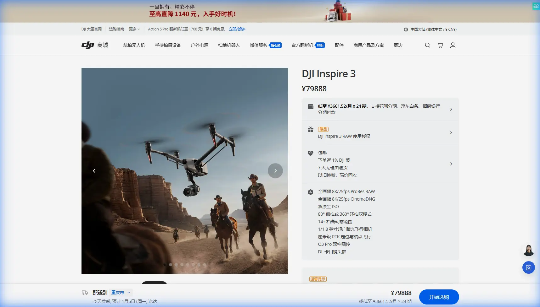
Inspire 3 for High-Altitude Solar Farm Scouting: A Field Case Study from a Civil Aviation Mindset
META: A practical case study on using Inspire 3 for high-altitude solar farm scouting, with expert insight on endurance planning, transmission reliability, photogrammetry workflow, and why reserve-thinking matters.
When teams evaluate a drone for solar farm scouting at altitude, they usually start in the wrong place. They look at headline specs, camera options, or how fast the aircraft can be deployed from a truck. Those things matter, but they are not what decides whether a day in the field goes smoothly.
On real sites, especially high-altitude solar developments, success usually comes down to planning discipline. Endurance margins. Link reliability. Workflow continuity. And the boring but decisive question: what happens when conditions shift halfway through a mission?
That is why the Inspire 3 deserves to be looked at through a lens borrowed from civil aircraft thinking rather than consumer drone marketing. The most useful reference point here is not a glossy brochure. It is the way manned aviation treats reserves, alternates, and operational uncertainty.
One of the reference materials behind this discussion is a civil aircraft design manual section summarizing international fuel requirements under FAR Part 121. It describes a planning logic that goes well beyond simply reaching the destination. In one requirement stream, the aircraft must fly to the dispatched airport, then continue to the most distant alternate, then carry enough for an additional 45 minutes. Another line mentions holding at 1,500 feet, or 460 meters, for 30 minutes under standard conditions. It also explicitly says the fuel calculation must account for wind and other expected weather factors.
Those numbers were written for crewed aircraft, not drones. But the operating principle is exactly the kind of mindset that separates a clean Inspire 3 solar survey from a compromised one.
Why this matters on mountain solar sites
A high-altitude solar farm is not just a solar farm on a hill. It changes the entire mission profile.
Air density drops. Wind behaves differently along ridgelines. Battery performance becomes less forgiving, especially in colder morning launches. Terrain can interrupt line of sight in ways that look minor on a map and become very real once the aircraft crosses a slope break. Add reflective panel surfaces and long array corridors, and now your flight plan is no longer a simple orbit-and-return exercise.
This is where Inspire 3 begins to make sense for a serious operator.
The platform is strong not only because it is capable in the air, but because it supports an operational style that leaves room for uncertainty. Hot-swap batteries are a perfect example. On paper, that sounds like a convenience feature. On a mountain solar job, it is a schedule-preservation feature. You do not want to fully power down, reinitialize, and rebuild momentum every time you rotate packs while trying to catch a narrow weather window between rising wind and afternoon cloud buildup. Hot-swapping helps crews maintain continuity, preserve setup time, and reduce friction between mapping sorties.
Competitors in the same broad class may offer excellent image quality, but many still create more operational drag during battery turnover or mission resets. Inspire 3 is better aligned with the pace of commercial field work. That matters more than spec-sheet theater.
The case: scouting a high-altitude solar farm before detailed inspection
Let’s frame a realistic use case.
A developer is preparing a high-altitude solar site for expanded inspection and asset documentation. The initial task is not yet a full defect analysis of every module. It is a scouting mission with two goals:
- Build a reliable visual and photogrammetric understanding of the terrain, access roads, array layout, drainage behavior, and nearby obstacles.
- Identify zones worth deeper thermal or engineering follow-up.
In this phase, the Inspire 3 earns its place because it can handle two competing needs at once: cinematic-grade situational awareness and disciplined repeatable flight operations.
A lot of drone teams underestimate the first part. They assume scouting is just a lighter version of inspection. It is not. Good scouting is where site risk is discovered early. You identify terrain shadows that will complicate later thermal collection. You spot maintenance tracks that can serve as GCP access routes. You see where panel rows create visual monotony that can challenge image overlap consistency if the route is poorly designed.
This is why photogrammetry should enter the conversation even before a “formal mapping day.” If your scouting mission is structured correctly, the same data can support preliminary terrain reconstruction, access planning, and future flight segmentation. GCP strategy also starts here. At altitude, where terrain can distort perspective and access can be slow, deciding where to place or verify GCPs is not a clerical detail. It affects the quality of every later deliverable.
Reserve thinking, adapted for drone operations
The civil aviation reference offers a useful discipline: do not plan only for the happy path.
For Inspire 3 on a solar site, that means your battery planning should resemble reserve logic, not minimal completion logic.
A weak drone plan sounds like this: “The route is expected to take 18 minutes, so we have enough.”
A strong drone plan sounds more like this: “The route is expected to take 18 minutes, but we have added margin for climb performance at altitude, headwind on the outbound leg, a possible reposition to maintain link quality, and the need to hold while the visual observer regains clear terrain sightline.”
That is the operational significance of the 30-minute hold and alternate concepts from the reference document. You are not literally applying FAR 121 numbers to a UAV battery sheet. You are applying the habit of planning for mission continuation after the first plan stops being perfect.
The reference also mentions wind and forecast conditions as mandatory planning factors. That point lands hard in solar farm work. Winds over photovoltaic fields can be deceptive because local heating and terrain interaction create uneven patterns. A crew that launches under calm conditions may face a very different return leg 12 minutes later, especially above ridges or open saddles. Inspire 3 can handle demanding work, but no aircraft benefits from optimistic planning.
The best crews I have seen treat every high-altitude scouting mission as if they may need a small airborne reserve to solve a problem without rushing home.
O3 transmission and why site geometry matters more than brochure range
For solar farm scouting, transmission quality is often discussed too casually. People talk about headline range figures when the real issue is route integrity through uneven terrain.
This is where O3 transmission becomes operationally meaningful. On a broad, elevated site with repeating rows of panels and occasional terrain masking, a stable link is not just about maintaining control. It is about preserving confidence in framing, overlap, and decision-making. When the pilot and payload operator trust the link, they work more deliberately. They avoid the hurried corrections that introduce inconsistency into image sets.
On some competing systems, the weak point is not outright signal loss but confidence erosion. The feed becomes less trustworthy at exactly the moment the operator needs precision along a slope edge or array boundary. Inspire 3 tends to perform better in that kind of professional workflow because the transmission system supports composure. That sounds intangible until you compare datasets from teams who flew relaxed versus teams who flew tense.
If your client requires secure handling of project data, AES-256 is another point that matters for utility-scale energy sites. Solar developments often sit inside broader infrastructure planning environments where route data, imagery, and construction progress are commercially sensitive. Encryption is not a line item for the IT team alone. It is part of whether your UAV operation is seen as mature enough for serious commercial deployment.
What the aerodynamic reference suggests, even indirectly
The second reference source is fragmentary, but it comes from an aerodynamic design handbook section dealing with whole-aircraft and component aerodynamic characteristics, including pressure coefficient behavior on a shaped base geometry. Even without turning that damaged extract into a direct design claim about the Inspire 3, it highlights something worth remembering in field operations: aircraft behavior is always a product of airflow interaction, not just raw motor power.
That matters at altitude because operators often try to solve everything with throttle. In thin air, with changing local wind over solar arrays and embankments, the more useful mindset is aerodynamic management. Smoother route design, cleaner turns, better climb timing, and less unnecessary repositioning will usually preserve more battery and produce better image consistency than brute-force corrections.
In practical terms, that means:
- avoiding repeated stop-start movement over row ends,
- minimizing aggressive yaw changes where panel glare already challenges image interpretation,
- planning cross-slope legs with expected gust behavior in mind,
- and keeping your photogrammetry path disciplined enough that the aircraft is not constantly “fixing” a poor plan in the air.
The aerodynamic reference reminds us that flight efficiency is designed, not improvised.
Thermal signature: when scouting should prepare, not pretend to inspect
A common mistake is trying to turn a scouting flight into a full thermal campaign without the right payload, timing, or environmental controls. That usually leads to mediocre results and false confidence.
For Inspire 3, the better approach is to use the mission to prepare for thermal work by identifying where thermal signature collection will be most valuable and under what conditions. You can mark likely hotspot clusters, drainage-related soiling zones, inverter-adjacent problem areas, and topographic sections where panel heating may diverge due to wind exposure or shading.
That is operationally smarter than forcing thermal conclusions too early.
If a client needs help structuring that handoff from scouting to a dedicated inspection workflow, I usually recommend starting with a field-ready mission outline rather than a generic equipment debate. A quick project discussion can save a full day of reflight planning, and a direct line like message our solar UAV team here often speeds that up.
GCPs, repeatability, and why Inspire 3 is stronger than “good enough”
For large solar sites, repeatability beats improvisation. Inspire 3 is valuable because it supports a workflow where today’s scouting pass can inform tomorrow’s structured capture without changing platforms or relearning operator behavior.
That continuity helps with GCP-informed photogrammetry. On mountain or plateau sites, GCP placement is rarely uniform. Access can be constrained, and some points will be easier to validate than others depending on road conditions and slope exposure. A scouting mission with Inspire 3 can reveal where your control network will actually hold up in practice, not just where it looked tidy in a planning document.
This is another area where the platform often outclasses less integrated alternatives. Some competitors can capture quality imagery, but the total workflow becomes patchy when site conditions force constant adaptation. Inspire 3 is simply more coherent as a field system. For expert crews, coherence is a multiplier.
A note on BVLOS thinking without crossing operational lines
Many utility-scale solar properties are large enough that teams naturally think in BVLOS terms, especially during route design. The right way to approach that with Inspire 3 is through compliance-aware planning, observer placement, segmentation, and data continuity rather than assuming size alone justifies more expansive operations.
In other words, think like a professional aviation operation. Break the mission into manageable blocks. Preserve reserve margins. Respect terrain. Build in contingencies. That mindset is more valuable than any single hardware feature.
The real reason Inspire 3 fits this job
If I had to reduce the Inspire 3 case for high-altitude solar farm scouting to one sentence, it would be this: it allows experienced crews to operate with fewer compromises between image quality, workflow discipline, and field resilience.
The strongest clue from the reference material is not about drones at all. It is the civil aviation habit of planning beyond nominal completion. The mention of 30 minutes of holding at 1,500 feet, the requirement to consider alternates, and the explicit need to factor wind and forecast conditions all point to the same truth: robust operations are built on margin.
Applied to Inspire 3, that means:
- battery plans with reserve logic,
- route design that respects terrain and airflow,
- transmission strategy built around real geometry, not marketing distance,
- secure data handling with AES-256 where infrastructure sensitivity matters,
- and hot-swap efficiency that keeps the crew productive when weather windows are short.
That is why this aircraft stands out in solar scouting. Not because it makes the mission look easy, but because it supports the kind of disciplined work that keeps difficult missions under control.
Ready for your own Inspire 3? Contact our team for expert consultation.