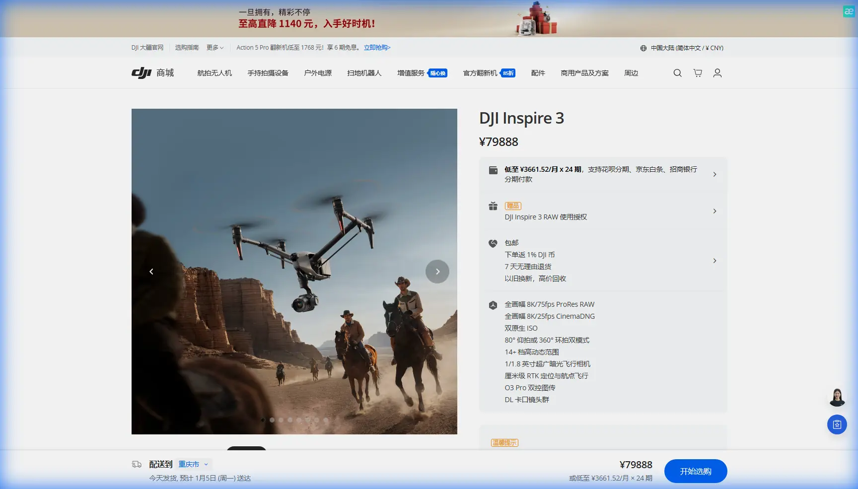
Scouting Windy Solar Farms with Inspire 3
Scouting Windy Solar Farms with Inspire 3: What Actually Matters in the Field
META: A specialist’s field perspective on using Inspire 3 for windy solar farm scouting, with practical insights on control resilience, data discipline, transmission security, and documentation workflows.
The hardest solar farm scouting days are not the hot ones. They are the windy ones.
Panels shimmer. Heat gradients start to lie to you. Aircraft drift enough to stretch your overlap planning. And the real problem is not simply keeping a drone in the air. It is keeping the mission coherent when the site is large, repetitive, and operational decisions depend on clean, defensible data.
I learned that the hard way on a utility-scale survey where the terrain was open, the wind had a long run across the array, and every second pass forced a judgment call: push on, land, or accept lower confidence in the dataset. That kind of day changes how you evaluate an aircraft. You stop caring about spec-sheet theater and focus on whether the platform helps you preserve control authority, image consistency, and traceable records from takeoff to final report.
That is why Inspire 3 is interesting for solar farm scouting, especially in exposed, windy environments. Not because it is dramatic. Because it reduces friction in the exact places where commercial inspection teams lose time.
The real field problem is control, not just capture
On a solar site, “windy” does not merely mean uncomfortable piloting. It changes the quality of your output.
When you are collecting oblique imagery for structure checks, or building a photogrammetry set for layout validation, small deviations compound. Yaw corrections disrupt framing. Speed changes alter overlap. Repeated stabilization inputs add fatigue to the pilot and noise to the mission. If you are checking thermal signature anomalies across rows, unstable positioning can also complicate how confidently you compare one suspect module string against another.
This is where the deeper design logic behind modern fly-by-wire thinking matters, even if most operators never use that phrase in the field.
One of the most useful ideas from civil aircraft control design is that the control system should not be overly sensitive to reasonable changes in aerodynamic or structural conditions. That principle shows up in the reference material as a direct design requirement: system performance should not be sensitive to normal variation, and candidate system configurations should be compared against technical and project risk, not just nominal performance. For drone operators, the operational translation is simple: a platform earns trust when it behaves predictably after the wind shifts, not only when conditions are ideal.
The same source also highlights an old but still relevant aviation idea: relaxed static stability can reduce tail size, lower structural weight, and improve performance when supported by active control. That may sound distant from a solar farm, but it gets to the core of what makes a high-end flight platform useful in inspection work. You are relying on an actively managed aircraft, not just raw mechanical stability, to hold the shot and carry out a repeatable route efficiently.
In practical Inspire 3 use, that matters more than people admit. In wind, an aircraft that can stay composed under active control is not simply easier to fly. It makes your downstream data cleaner.
Why Inspire 3 fits the solar scouting workflow
For a windy solar farm mission, Inspire 3’s value comes from how several features reinforce one another.
Start with control and transmission. O3 transmission is not a flashy detail on an industrial site; it is a confidence layer. Long rows of panels, inverter stations, fencing, service roads, and occasional terrain undulation can create awkward visual and radio conditions even on sites that look “open” on a map. Stable link performance helps the pilot make smoother corrections and maintain mission rhythm. When that link is backed by AES-256, it also supports a more disciplined approach to handling commercially sensitive site imagery and infrastructure layouts. For asset owners and EPC teams, secure transmission is not abstract. It is part of professional hygiene.
Then there is endurance management. Hot-swap batteries matter a lot on large solar sites because the mission rarely ends at a neat stopping point. You may have a half-finished block, a few suspect thermal areas still needing a second pass, or a light window closing faster than expected. The ability to swap efficiently without turning every battery event into a full operational reset keeps the capture plan intact. That sounds minor until you have lost continuity on a windy day and spent the next hour rebuilding the route logic from notes and memory.
For scouting specifically, Inspire 3 also works well as a bridge tool between cinematic-grade visual intelligence and technical site decision-making. Many teams treat scouting as a lightweight precursor to a “real” survey. I think that is a mistake. On a solar farm, scouting is where you establish access logic, row segmentation, glare behavior, vegetation interference, drainage concerns, and the best launch points for later photogrammetry or thermal work. A platform that can move quickly through that reconnaissance phase while still collecting footage precise enough to support engineering conversations saves repeated mobilizations.
Wind changes your photogrammetry decisions
Photogrammetry on solar farms is unforgiving because the geometry is repetitive. Rows can look nearly identical, and even a small lapse in overlap discipline can create trouble later in processing.
In wind, that is where operators need to think less like content creators and more like system engineers.
The aircraft design reference in the source material stresses minimizing data and control flow complexity at interfaces, while preserving interface independence and effectiveness. In a drone workflow, the equivalent is reducing avoidable complexity between flight planning, image capture, GCP management, and post-processing. If the aircraft is forcing too many in-flight corrections, your image set stops being a structured survey input and starts becoming an improvisation.
With Inspire 3, I would treat windy-site photogrammetry as a mission design problem first:
- tighten route logic rather than relying on manual recovery,
- establish conservative overlap margins,
- use GCPs where legal and practical to anchor repeatability,
- and separate broad site context capture from row-level detail collection.
The point is not to ask one flight to do everything. The point is to let the platform’s stability and transmission strengths support disciplined segmentation.
That is where scouting turns into operational leverage. A clean scouting run tells you which sectors are wind-exposed, where multipath or signal interruptions may appear, which launch positions reduce transit waste, and where a later thermal mission will be most credible. Done well, the first mission sharpens every mission after it.
Thermal work is only as trustworthy as the flight behavior behind it
A lot of people talk about thermal signature findings as if the camera alone does the work. It does not.
On solar farms, thermal interpretation depends heavily on context: wind loading, solar irradiance, angle, timing, row spacing, and flight consistency. If the aircraft is making frequent attitude corrections or drifting through different standoff distances across comparable strings, your “anomaly” may be less solid than it looks in the report.
This is another reason I like to frame Inspire 3 as a control platform rather than merely an imaging platform. The cleaner the path through the air, the more defensible your thermal comparisons become. Not perfect. Just more defensible.
That distinction matters when a client asks the question they always ask: “Are these modules truly suspect, or should we reinspect?”
In windy conditions, a disciplined Inspire 3 workflow can help you answer that with more confidence because it supports repeat passes, better route continuity, and fewer ad hoc pilot interventions. That is often the difference between a useful thermal scout and a site revisit.
Documentation discipline is underrated, but it is where teams separate themselves
One of the most overlooked parts of professional drone operations is technical documentation. Not the glossy report. The working record.
The second reference document in your materials is not about drones at all. It is about how technical information should be structured and maintained: page identifiers by chapter-section-topic, visible revision dates at the lower outer corner of each page, left pages even-numbered and right pages odd-numbered, and indexing for publications over 50 pages. On the surface, this sounds old-school. In practice, it is exactly the mindset that solar inspection teams need.
Why? Because windy-site scouting often creates iterative field decisions. A launch point gets changed. A route is split into two blocks. A GCP set is revised. A suspected hotspot requires a second imaging standard. If those changes live only in chat messages and pilot memory, your project becomes fragile.
I recommend adapting that aviation-style documentation discipline to Inspire 3 field operations:
- version your mission plans,
- date every revised flight package,
- use a consistent chapter-section naming structure for site blocks,
- and preserve an audit trail when imagery or route assumptions change.
That is not administrative clutter. It is operational insurance.
The source document even notes that when technical publications exceed 50 pages, indexed tabs should be used to make retrieval easier. Translate that to a solar asset portfolio and the lesson is obvious: if you are managing multiple substations, array zones, thermal exceptions, and repeat flights, retrieval architecture matters. Fast access to the right version of the right mission record can save more time than any minor hardware upgrade.
If your team needs a practical way to standardize that workflow around Inspire 3 operations, this is a useful place to start a conversation: message our field support desk.
A past challenge that changed how I deploy Inspire 3
On one windy site, we initially treated the first flight as a broad visual familiarization run. Standard enough. The problem was that the site’s repeating geometry made our early notes too vague. “Northwest block, possible thermal issue near inverter cluster” sounds adequate until you return and realize three zones fit that description.
The fix was not flying more aggressively. The fix was bringing more structure into the mission.
We broke the site into documentation units that mirrored formal technical publishing logic: zone, subsection, target issue, date. Every revision to the plan was logged. Every second-pass request was tied to the same naming chain. That method may feel borrowed from aviation manuals because, in a way, it is. But the result was immediate. The dataset became easier to validate, easier to hand off, and easier to defend.
This is where Inspire 3 helped. Hot-swap battery support let us preserve mission tempo while the documentation structure kept the project intelligible. O3 transmission reduced friction during long row traverses. Secure AES-256 transmission supported client confidence when site imagery included sensitive infrastructure layouts. And because the aircraft remained composed enough in wind to maintain cleaner route execution, the data itself needed less interpretation gymnastics later.
That is what professionals should look for in a solar scouting platform: not glamour, but fewer weak links.
What I would prioritize on an Inspire 3 windy solar mission
If I were preparing Inspire 3 for scouting a solar farm in exposed conditions, my priorities would be these:
1. Build the mission around control margin
Do not plan right to the edge of acceptable conditions. Wind rarely stays polite over reflective, open terrain.
2. Separate scouting objectives
Use one pass for spatial understanding and access logic, another for targeted visual detail, and a separate thermal strategy if needed.
3. Use GCPs selectively and intentionally
For photogrammetry, GCP placement should support the decisions you actually need to make, not just satisfy a generic survey habit.
4. Treat transmission security as part of site professionalism
O3 with AES-256 is not a footnote when dealing with commercial energy assets.
5. Document like an aviation team
The source material’s page-control standards may sound tedious, but revision date discipline and structured numbering prevent expensive confusion later.
The bigger lesson
Inspire 3 is at its best on solar farm scouting missions when you use it as part of a controlled information system, not as a flying camera with premium hardware.
The reference material you provided points to two habits worth stealing from civil aviation: first, compare system choices based on control reliability, interface discipline, and risk, not just headline capability; second, treat documentation structure as part of operational safety and quality, not paperwork after the fact.
That is exactly the right lens for windy solar work.
Because when the site is large, the air is restless, and the client expects answers they can act on, the best aircraft is the one that helps you maintain control of both the flight and the truth of the data.
Ready for your own Inspire 3? Contact our team for expert consultation.