Expert Scouting With Inspire 3 in Complex Terrain
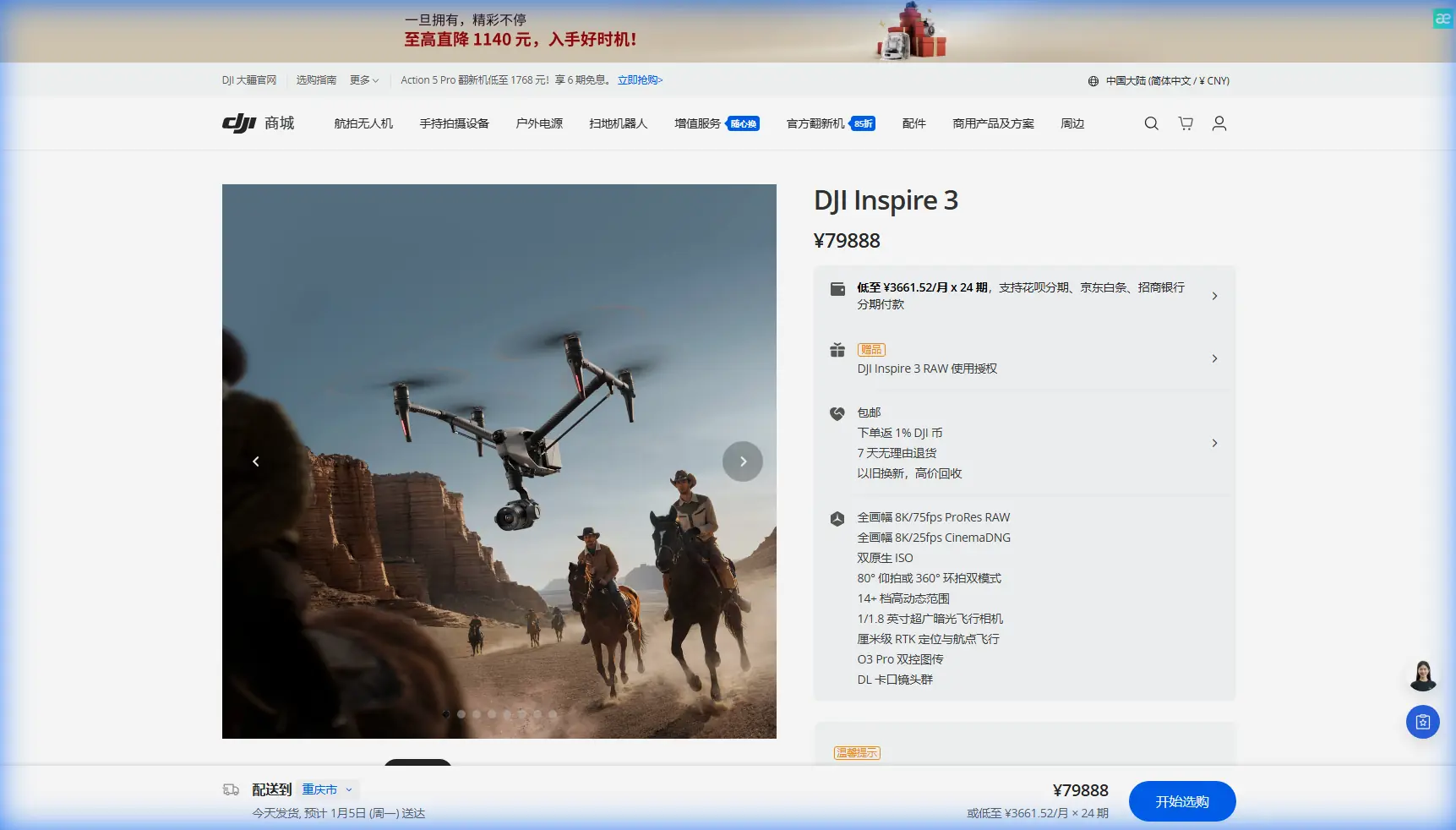
Expert Scouting With Inspire 3 in Complex Terrain
META: Learn how to use DJI Inspire 3 for venue scouting in steep, obstructed, and signal-challenging terrain, with practical guidance on transmission, mapping workflow, battery strategy, and secure data handling.
Complex terrain exposes weak aircraft fast. A drone that feels perfectly capable over open ground can become frustrating the moment you move into a canyon, scout a hillside amphitheater, or try to evaluate a venue tucked behind tree cover, rock faces, and shifting elevation. For professionals scouting event sites, production locations, resort developments, or remote activation spaces, the DJI Inspire 3 stands out not because it does everything, but because it solves a very specific cluster of operational problems unusually well.
That distinction matters.
Venue scouting is rarely just about getting pretty aerial footage. In difficult terrain, the real job is to collect dependable visual information, verify access routes, understand elevation changes, identify line-of-sight issues, assess interference risk, and build a flight plan that other teams can trust later. The Inspire 3 is strong here because its design lines up with how experienced crews actually work in the field: fast deployment, stable transmission, efficient battery handling, and image quality that supports both cinematic review and technical interpretation.
This tutorial breaks down how to use the Inspire 3 effectively when the site is uneven, obstructed, or logistically awkward.
Why Inspire 3 makes sense for terrain-heavy scouting
The Inspire 3 is often discussed as a cinema platform first. That is true, but incomplete. For scouting, its advantage over many prosumer alternatives is that it behaves more like a serious field tool. That shows up in three areas immediately.
First, the aircraft’s O3 transmission system gives crews a more dependable control and video link when terrain starts interfering with line of sight. In open areas, almost any modern platform looks competent. In broken landscapes, link stability becomes the difference between confidently tracing a ridgeline and cutting the mission short because video confidence collapses behind terrain features. When you are studying a venue with terraces, tree bands, ravines, or mixed built-natural obstacles, strong transmission performance is not a luxury feature. It determines how much useful data you bring home.
Second, the Inspire 3’s hot-swap battery workflow changes the pace of a scouting day. That matters more than spec sheets usually admit. Complex venues create repeated short missions: one pass to inspect access roads, another to evaluate takeoff alternatives, another to review audience sightlines, another to examine drainage or staging areas. If each battery change becomes a cold restart that breaks continuity, you lose time and concentration. Hot-swap batteries let crews cycle power with less interruption, which is operationally valuable when weather windows are narrow or the site is physically demanding.
Third, its data handling profile is a better fit for organizations that care about sensitive location work. AES-256 encryption is not an abstract IT bullet point. If you are scouting private estates, secured facilities, high-profile event venues, infrastructure corridors, or locations under non-disclosure, encrypted data workflows matter. They help protect route planning, captured media, and site intelligence that may have real commercial or security implications.
Put simply, the Inspire 3 is not just better because it is more advanced. It is better for this job because its strengths align with the failure points of terrain scouting.
Start with the mission, not the aircraft
A common mistake is launching too early.
Before the Inspire 3 ever leaves the ground, define what “scouted” means for the venue. In complex terrain, you should divide the mission into four outputs:
- A broad terrain read
- Access and logistics verification
- Visual obstruction analysis
- Reference imagery for later planning or photogrammetry
That structure keeps the flight disciplined. Without it, operators often spend too much time collecting sweeping establishing shots and too little time documenting the details that later affect safety, staging, and shot design.
For example, if you are scouting a mountain venue, the broad terrain read should answer basic spatial questions: where are the dominant elevation shifts, what terrain folds block visibility, and where are the natural wind funnels? The access pass should focus on road grade, turnaround points, parking options, and equipment-carry paths. The obstruction pass should identify trees, poles, cable crossings, structures, and terrain shelves that could compromise line of sight or force awkward approach angles.
Only then should you think about aesthetic footage.
Use transmission strength strategically
O3 transmission becomes most useful when you stop treating it as passive insurance and start planning around it.
In complex ground, a scouting mission often involves moving the pilot position during the day. That is normal. One launch site rarely gives you clean geometry across the full venue. The Inspire 3 gives crews more confidence when they need to inspect behind partial obstructions or follow a terrain contour that would challenge weaker platforms, but it is still best used with a deliberate control-point strategy.
Pick two or three likely pilot locations before launch. One should favor access roads and staging zones. Another should favor the core venue footprint. A third, if available, should help evaluate hidden or reverse-slope sections. O3 transmission gives you a larger operating cushion between those control points, but the real win is that it reduces uncertainty while you test them.
This is one place where the Inspire 3 often outperforms smaller alternatives in practice. Many lighter aircraft look attractive on portability alone, yet their field behavior in broken terrain can be less confidence-inspiring once vegetation, rock, and built interference start stacking together. The Inspire 3 is not tiny, but for crews that need reliable scouting data rather than just basic overviews, that trade often works in its favor.
Build a repeatable photogrammetry-ready workflow
Even if your client only asked for a scouting pass, collect data as if a technical planning phase may follow. That means building flights that can support photogrammetry where needed.
You do not need every mission to be a full mapping exercise. But you should capture enough organized overlap on critical areas to make later reconstruction possible. Focus on zones where grade, structure spacing, or access geometry will matter: stage pads, parking terraces, ridge-edge platforms, retaining walls, trail approaches, and temporary operations areas.
If you expect to create measurements or terrain models later, ground control points, or GCPs, become useful quickly. In steep or visually repetitive environments, GCPs help anchor the model and reduce ambiguity in areas where shadow, vegetation, or sloped surfaces can introduce positional drift. Their operational significance is simple: they turn “roughly here” into “verifiably here,” which is what planners, survey partners, and production managers actually need when decisions get expensive.
The Inspire 3 is not marketed as a pure survey machine, but its imaging quality makes it valuable for mixed-use capture. For a scouting crew, that flexibility is powerful. One aircraft can gather footage that works for executive review and generate source material useful for later site interpretation.
A practical approach looks like this:
- Fly one high, wide reconnaissance orbit to understand macro terrain.
- Fly one structured pass over critical working zones with consistent overlap.
- Fly one low-altitude obstacle review focused on access routes and pinch points.
- Capture oblique angles of slopes, terraces, and built edges that may be poorly understood from vertical imagery alone.
That sequence gives you both readability and technical utility.
Don’t ignore thermal signature planning
The Inspire 3 is not a dedicated thermal platform, but thermal signature still matters during scouting because it changes how you interpret the venue and plan future operations.
A terrain-heavy site behaves differently at 7 a.m. than it does at midday. Dark rock absorbs heat. Tree bands create cold pockets. Parking surfaces radiate. Rooflines flare. These variations affect crew comfort, air behavior near the surface, equipment staging, and in some cases the timing of future thermal-capable inspections using other aircraft.
Why mention this in an Inspire 3 workflow? Because experienced scouts do not isolate visible imaging from operational reality. When you document a site, note where heat build-up is likely and where shaded retention zones exist. That context helps later teams decide when to inspect utilities, when talent or guests may be uncomfortable, and where battery management or ground support will become harder than expected.
Thermal signature awareness is not only for industrial inspections. It is part of understanding how a venue will actually function.
Battery strategy is part of data quality
Hot-swap batteries deserve more respect than they usually get. On paper, they sound like a convenience feature. In the field, they preserve momentum.
Complex terrain taxes attention. Pilots and visual observers are already tracking elevation, signal paths, obstacles, changing sun angles, and possible emergency landing options. If every battery exchange resets the flow of work, the quality of the mission drops. You forget the exact edge case you wanted to revisit. You skip a confirming pass. You settle for “good enough.”
The Inspire 3’s hot-swap setup helps crews stay in sequence. Land, exchange, relaunch, continue. That matters when you are documenting a venue systematically and trying to maintain consistent capture logic across multiple short sorties.
If you are working a large site, assign each battery cycle a purpose rather than flying until low power and improvising the next step. For example:
- Flight 1: terrain orientation and control-point validation
- Flight 2: access and logistics corridors
- Flight 3: venue core and audience or camera sightlines
- Flight 4: photogrammetry-ready overlap on critical zones
That simple structure keeps the dataset cleaner and reduces redundant flying.
Secure the location data like it matters
Because it often does.
Location scouting can expose more than scenery. It can reveal private road networks, staging entrances, utility placements, security patterns, and site constraints that owners may not want circulating casually. AES-256 encryption has practical value here because it supports a more defensible chain of custody for sensitive media and planning data.
For high-profile productions, private developments, infrastructure-adjacent venues, or restricted-access properties, this should be part of your operating standard, not a bonus. Secure storage, controlled sharing, and disciplined file naming all matter. If your team needs a field-friendly way to coordinate project details, route notes, and follow-up capture requirements, use a direct briefing channel like message our flight desk rather than scattering site specifics across too many tools.
Security does not make the scouting mission more cinematic. It makes it more professional.
What to watch in BVLOS-adjacent scenarios
BVLOS is one of those terms that gets thrown around loosely. For terrain scouting, the real issue is usually not formal long-range operations but the way hills, structures, and vegetation can create practical visibility and signal limitations that feel BVLOS-adjacent very quickly.
Even when operating within standard rules and procedures, a venue with severe elevation changes can produce moments where the aircraft is visible but the environment is no longer forgiving. The Inspire 3 helps by giving pilots stronger situational confidence through robust transmission and stable platform behavior, but that should never become an excuse to push sloppy geometry.
In these environments:
- Keep the flight path predictable.
- Avoid terrain masking transitions without a clear recovery plan.
- Use observer placement intelligently.
- Define conservative turn-back points before launch.
- Rehearse emergency landing options for each sector of the site.
The Inspire 3 excels when used by crews who respect terrain rather than trying to overpower it.
A practical field method for difficult venues
If I were sending a team to scout a venue in broken ground with the Inspire 3, I would use this sequence.
Arrive early enough to see low-angle light reveal shape and surface detail. Walk the launch area before powering up. Identify at least one fallback takeoff zone. Mark any obvious GCP positions if later modeling may matter. Fly a short reconnaissance pass first, not a hero shot. Confirm where transmission behaves cleanly and where terrain begins to interfere. Then commit to structured collection.
Once the macro layout is understood, switch to problem-solving mode. Trace the access road. Study vertical separation between staging and venue core. Look for blind approaches. Review how trees and terrain walls affect possible RF behavior. Capture oblique imagery of anything that feels deceptively simple from above. If a slope looks manageable in top-down view, inspect it from the side. That is where many scouting errors get exposed.
Finally, log the site while it is fresh. Note the wind character, likely thermal build-up zones, shaded retention areas, signal trouble spots, and any sectors where future operations may need extra observers or a different launch point.
That is what turns footage into intelligence.
The real advantage of Inspire 3 for scouting
The Inspire 3 is not the only aircraft that can scout a venue. It is one of the few that consistently supports both high-end visual review and disciplined field decision-making without feeling compromised in either role.
That is the edge.
Its O3 transmission matters because difficult terrain punishes weak links. Its hot-swap batteries matter because continuity improves the mission. AES-256 matters because many locations carry real confidentiality concerns. And when paired with a methodical workflow that anticipates photogrammetry, GCP use, and terrain-driven visibility problems, the aircraft becomes more than a camera platform. It becomes a reliable reconnaissance tool.
For scouting in complex terrain, that difference is not theoretical. It shows up in whether the client leaves with pretty clips or with answers.
Ready for your own Inspire 3? Contact our team for expert consultation.