Inspire 3 in Steep Vineyards: A Case Study in Mountain
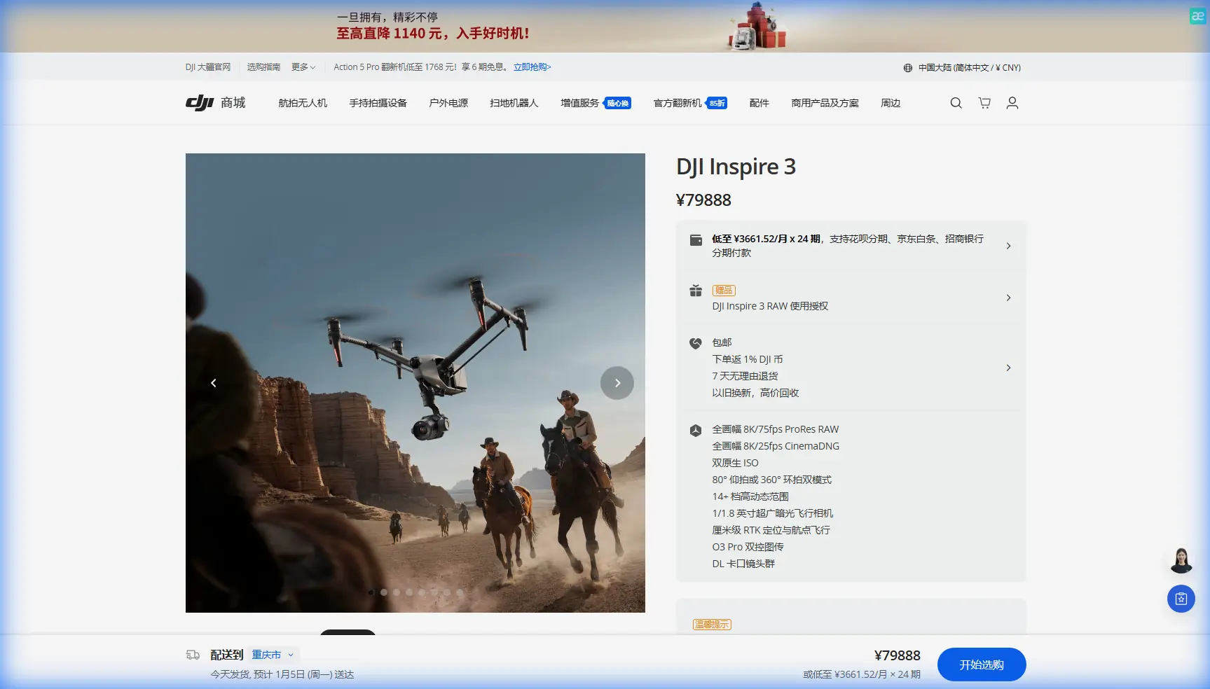
Inspire 3 in Steep Vineyards: A Case Study in Mountain Mapping, Thermal Recon, and Smarter Spray Planning
META: A field-style case study on using DJI Inspire 3 in mountain vineyards for thermal scouting, photogrammetry, GCP workflows, O3 transmission, and battery-efficient spray planning support.
Mountain vineyards punish lazy workflow design.
The rows are narrow, the terrain changes by the meter, wind behaves differently on every slope, and the cost of missing a stress zone can echo through an entire harvest window. In that environment, the DJI Inspire 3 is not the aircraft doing the spraying itself. That distinction matters. The real value of the platform is upstream of the spray mission: reconnaissance, thermal assessment, terrain-aware photogrammetry, and the creation of cleaner operational data for the aircraft that will actually apply product.
That is where I have seen the Inspire 3 become unexpectedly useful in viticulture on steep ground.
This article is built around a mountain-vineyard scenario, not a generic brochure summary. The practical question is simple: how can an Inspire 3 help a grower or service provider spray more precisely in complex terrain without wasting time, battery cycles, or material?
The answer sits at the intersection of imaging quality, positional discipline, transmission reliability, and workflow speed.
The real vineyard problem is not “spraying.” It is knowing where, when, and how much.
On flat ground, broad-acre assumptions can survive longer than they should. In mountain vineyards, they fail fast.
One section of a slope may hold moisture and stay cooler into mid-morning. Another block, just across a fold in the terrain, may shed water faster and show stress early. If the team treats the whole property like one uniform surface, they usually end up overspraying some zones and under-addressing others. Neither is efficient. Neither is kind to the crop.
That is why the Inspire 3 fits best as an intelligence platform ahead of spray operations.
Its imaging system and stable flight performance make it well suited for building high-detail visual basemaps, checking canopy consistency, and collecting thermal signature data when equipped through a third-party payload workflow. The aircraft’s role is to help answer questions before liquid ever leaves a nozzle:
- Which rows are showing early stress?
- Where are the terrain breaks that will complicate coverage?
- Are there drainage patterns changing plant vigor?
- Which access points are realistic for crews and ground support?
- How should the spray aircraft route be adjusted to slope, exposure, and battery turnaround?
Those are expensive questions when guessed. They are manageable when mapped.
A practical mountain-vineyard workflow with Inspire 3
In one representative scenario, the vineyard operator was dealing with steep parcels split across terraces and irregular slopes. The challenge was not just disease pressure. It was consistency. Ground teams were seeing uneven canopy development, and the spray plan was being updated from partial field observations rather than a complete site model.
The Inspire 3 was used in three stages.
1. Baseline photogrammetry for terrain and canopy context
First came a high-overlap visual survey to create a detailed orthomosaic and surface model. In mountain vineyards, photogrammetry is not just about making a pretty map. It reveals the geometry of the site in a way that matters operationally.
Slope direction affects evaporation. Terrace edges affect safe turn planning. Gaps in row continuity affect route logic. If your spray aircraft is going to work close to vines on a mountain face, those details should not be discovered mid-mission.
This is where GCPs matter. Ground control points are often skipped by operators who want speed, but on steep terrain they are one of the few things standing between “close enough” mapping and data you can actually trust. Even a strong onboard positioning solution benefits from well-placed control on a site with elevation change, repeating patterns, and limited visual landmarks.
Operationally, that accuracy translates into fewer assumptions. If your model is sound, the team can define treatment zones more confidently, mark hazards correctly, and avoid route planning errors that waste both battery and field time.
2. Thermal signature review to detect hidden variability
The second pass involved thermal review through a third-party accessory workflow. This is where the Inspire 3 became much more than a cinema aircraft repurposed for agriculture.
A thermal signature can reveal canopy temperature differences before those patterns are obvious in standard RGB imagery. In vineyards, that can point to irrigation irregularities, plant stress, drainage issues, blocked emitters, or microclimate effects driven by the mountain itself. Not every warm patch means disease. Not every cool patch means health. But thermal gives the agronomy team a fast way to identify where closer inspection is worth the time.
That operational significance is hard to overstate.
Without thermal recon, spray decisions in mountain vineyards often become broad preventive actions. With it, teams can separate areas that need immediate attention from areas that only need monitoring. That can reduce unnecessary applications and improve timing for the zones that genuinely need intervention.
This is also where a third-party accessory can make a real difference. In one setup, a lightweight thermal payload integration solution expanded the Inspire 3’s utility well beyond standard visual capture. That accessory did not turn the aircraft into a dedicated ag sprayer. It turned it into a better scouting platform, which is often more valuable. Better input data tends to improve every downstream decision.
3. Route support for the actual spray platform
After imaging and analysis, the final output was not a cinematic deliverable. It was a set of operational layers for the spray mission.
The Inspire 3 data helped define:
- variable-priority treatment zones
- safe approach corridors in uneven terrain
- likely downdraft and rotor wash sensitivity areas near terrace edges
- staging points for battery swaps and crew positioning
- sections where line-of-sight was weak and communications planning mattered
This last point deserves attention because mountain work exposes one weakness after another in field comms.
Why O3 transmission matters more in mountains than on paper
DJI’s O3 transmission system is one of those specifications people casually mention until they fly in broken terrain.
In a mountain vineyard, transmission quality is not a luxury feature. It affects whether the pilot maintains stable situational awareness as the aircraft works near slope transitions, vegetation edges, retaining structures, or changing elevation profiles. Terrain interrupts clean signal paths. Vineyards often create visual monotony. Sun angle can reduce screen readability. All of it raises cognitive load.
Reliable transmission helps the pilot stay ahead of the aircraft instead of constantly catching up to it.
That matters even more if the Inspire 3 is being used to collect precision imagery that the whole day’s spray strategy will depend on. If the live feed is unstable or delayed, the operator may miss incomplete coverage, overlook an imaging problem, or need to repeat sections later. In steep vineyards, repeat flights are not just annoying. They consume daylight, batteries, and staff attention.
The O3 link also matters for collaboration. On a good operational day, the pilot is not the only person interpreting the mission. A vineyard manager, agronomist, or mapping technician may be reviewing imagery logic at the same time. Strong transmission supports that shared decision-making in the field, where small adjustments can still be made before the spray aircraft launches.
AES-256 is not abstract. It matters when crop data is commercially sensitive.
People tend to associate transmission encryption with corporate checklists, but in commercial viticulture it has a practical dimension.
Site models, stress maps, thermal observations, and treatment planning data can reveal a surprising amount about crop condition, irrigation performance, and operational weaknesses. For larger estates or contracted service providers, that information is commercially sensitive. AES-256 support in the transmission chain helps protect that data as it moves between aircraft and control systems.
That does not make the workflow invulnerable. It does make the platform more suitable for professional operations where confidentiality is taken seriously.
If a grower is asking a drone team to map plant stress on a high-value mountain vineyard, data security should not be an afterthought.
Hot-swap batteries change the rhythm of the work
Battery logistics are one of the least glamorous parts of UAV work and one of the most decisive.
On steep vineyard sites, travel between launch points is slow. Repositioning crews takes time. Weather windows can narrow quickly, especially if thermal capture needs to happen in a particular part of the morning. A platform that supports hot-swap batteries keeps the mission moving when every interruption has a cascading cost.
For the Inspire 3, this is operationally significant because reconnaissance flights in mountain vineyards are rarely a single takeoff and landing. The job tends to unfold in segments: one block, then another terrace, then a thermal check on an exposed slope, then a return for a targeted rescan. If the aircraft can be turned around quickly without a full shutdown cycle, the field team preserves momentum.
That speed matters even more when the Inspire 3 is feeding a same-day spray plan. Delay the recon, and you delay the treatment aircraft. Delay the treatment aircraft, and the wind may rise, the temperature may shift, or labor may be lost to the clock.
What Inspire 3 does well in this niche, and what it does not do
There is a temptation in the drone industry to force every aircraft into every task. That is rarely wise.
The Inspire 3 is not the machine to physically spray vineyards. Dedicated agricultural platforms exist for that role and should be used for it. But if you are working a mountain property where the economics of spraying depend on precision, the Inspire 3 can be one of the most useful aircraft on site before the spray mission starts.
Its strengths are clear:
- high-quality image capture for detailed photogrammetry
- stable, repeatable flights over complex terrain
- strong transmission through O3 for difficult sites
- secure data handling with AES-256 support
- efficient battery turnover through hot-swap design
- compatibility with expanded workflows when a third-party accessory is introduced
Its limitation is equally clear: it is a data and planning platform in this context, not the applicator.
That is not a weakness. It is exactly why it can slot into a mature vineyard operation without trying to replace everything else.
The BVLOS question in mountain viticulture
BVLOS is often discussed as if it is purely a technical capability issue. In reality, it is mostly an operational and regulatory one.
For mountain vineyards spread across long, broken parcels, the appeal of beyond visual line of sight workflows is obvious. Larger estates want wider coverage with fewer repositionings. Service providers want efficiency. But the existence of a strong airframe, stable link, and advanced imaging stack does not remove the need to operate inside the local rules, approvals, and safety framework.
In practice, what the Inspire 3 can do today for many vineyard teams is improve near-term readiness for more scalable operations later. Clean mapping workflows, disciplined GCP use, robust comms planning, and repeatable field procedures are the habits that make any future BVLOS pathway more realistic. Teams that cannot run line-of-sight missions cleanly on mountain ground usually are not ready for anything more advanced.
A smarter definition of “spraying with Inspire 3”
If someone says they are using an Inspire 3 for vineyard spraying, I would rewrite that sentence.
They are using the Inspire 3 to make vineyard spraying smarter.
That is the more accurate description, and it respects what actually creates value in difficult terrain. Better thermal recon leads to better targeting. Better photogrammetry leads to better route design. Better terrain awareness leads to fewer surprises. Better battery workflow leads to more usable flight windows. Better transmission leads to fewer repeated flights. Better security protects commercially sensitive crop intelligence.
Put all of that together and the result is not flashy. It is better farming discipline.
For mountain vineyards, that is usually what wins.
If you are evaluating payload options, mapping workflow design, or third-party integrations for a similar operation, you can start the conversation directly through this field support chat.
The Inspire 3 is at its best here when treated as part of a system: scout first, verify conditions, build the map correctly, interpret thermal carefully, then hand clean data to the spray team. On a steep vineyard, that sequence can be the difference between broad treatment and precise intervention.
Ready for your own Inspire 3? Contact our team for expert consultation.