Inspire 3 surveying tips for urban construction sites
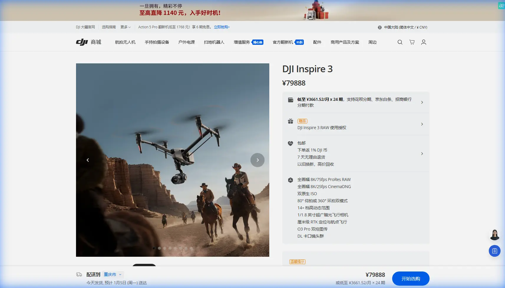
Inspire 3 surveying tips for urban construction sites: a technical review from the field
META: Expert technical review of using DJI Inspire 3 for urban construction site surveying, covering photogrammetry workflow, O3 transmission, hot-swap batteries, AES-256 security, and practical flight considerations.
Urban construction surveying rarely fails because the aircraft cannot fly. It fails because the site is hostile to clean data.
Steel frames create multipath interference. Tower cranes interrupt line of sight. Concrete cores cast long shadows that complicate image matching. Crews, vehicles, and temporary structures change the scene by the hour. In that environment, the DJI Inspire 3 sits in an unusual position. It is widely recognized as a cinema platform, yet several of its engineering decisions translate surprisingly well to high-tempo surveying when the mission demands mobility, repeatability, and disciplined data capture around dense urban obstacles.
I’ve spent enough time around construction mapping teams to know that the aircraft itself is only part of the answer. The real question is whether a platform can maintain signal reliability between buildings, move quickly between battery cycles, protect sensitive project data, and gather imagery clean enough for photogrammetry under imperfect site conditions. That is where the Inspire 3 deserves a closer look.
Why Inspire 3 makes sense on an urban survey site
For a pure mapping department, there are aircraft more obviously specialized for geospatial work. That should be said upfront. But urban projects do not always present pure mapping problems. One morning may require progress documentation along a constrained corridor. The afternoon may shift to façade capture, crane clearance visualization, stockpile observation, or a rapid visual assessment of a newly poured deck before access routes reopen.
The Inspire 3 is strong when one crew needs to handle several of those tasks without dragging multiple airframes to the site.
Two features matter immediately in this scenario: O3 transmission and hot-swap batteries.
O3 transmission is not just a spec-sheet talking point on a downtown job. In dense urban environments, maintaining a stable control and video link can determine whether the crew completes a block of flights on schedule or loses time repositioning for signal quality. Buildings, scaffolding, and temporary site offices all conspire against clean transmission paths. A robust digital link gives the pilot and visual observer more flexibility in setting up from a safe, practical location rather than constantly chasing an unobstructed angle.
Hot-swap batteries are equally operational. On construction sites, downtime compounds. If the crew has already coordinated a temporary exclusion area, briefed site managers, and paused nearby activity, every extra minute on the ground costs momentum. The ability to replace batteries without shutting the aircraft down shortens turnaround time and preserves workflow continuity. That translates into more consistent lighting across adjacent flight lines, fewer interruptions to crew coordination, and less pressure to rush the next sortie.
Those are not glamorous points. They are the difference between an aircraft that works in theory and one that works on a live job.
The photogrammetry question: can Inspire 3 produce useful survey-grade outputs?
Yes, with discipline. No, not by accident.
Photogrammetry on an urban construction site depends on image geometry, overlap control, lighting management, and ground control. The aircraft can deliver high-quality source imagery, but the operator has to build a workflow around GCPs and site-specific capture planning. That is especially true where vertical structures dominate the scene.
Ground control points remain essential when the deliverable must align with the project coordinate system and stand up to contractor scrutiny. In urban work, I advise crews not to treat GCPs as a formality. Place them where they will survive site activity for the duration of the operation, and distribute them to support both open horizontal surfaces and edges of vertical complexity. A construction site with retaining walls, podiums, shafts, and partially enclosed floors can fool a lazy control layout.
With Inspire 3, the most productive approach is often hybrid: collect broad nadir coverage for orthomosaic and surface modeling, then supplement with controlled oblique imagery around façades, slab edges, and structural interfaces where the client expects detail. This is where the platform’s cinematic heritage becomes useful. The gimbal and flight handling make it practical to gather cleaner oblique sets than many operators achieve with rigidly single-purpose mapping routines.
Still, precision is not automatic. If your firm needs repeatable measurement output, treat each mission like a survey operation rather than a media flight that happens to feed mapping software.
Signal security and client confidence
Urban construction projects often involve restricted drawings, staged logistics plans, proprietary sequencing methods, and documentation tied to insurance or claims. That means data security is not abstract. It affects whether a general contractor, developer, or engineering consultant will even allow your workflow on site.
This is one area where AES-256 matters. Encrypted transmission is not merely a checkbox for enterprise procurement teams. It reduces risk when you are flying over a site surrounded by office towers, public roads, and adjacent contractors with their own digital infrastructure. If a project owner asks how the command and video link is protected, a credible answer helps. It demonstrates that the drone workflow has been considered with the same seriousness as the rest of the project’s digital systems.
Operationally, this also supports a more mature handoff process. Teams can document not just what was captured, but how it was protected during collection. On sensitive urban projects, that level of procedural maturity often separates trusted survey partners from occasional drone operators.
What Inspire 3 does well around vertical complexity
Construction sites in cities are vertical problems. Roads are narrow, but the real complexity rises above them.
The Inspire 3 is valuable when surveying teams need to capture geometry around cores, curtain wall interfaces, rooftop plant areas, and temporary works installed at elevation. Aircraft that perform well over open land can struggle to maintain efficient capture around tight urban structures because the mission requires too many compromises between framing, safe stand-off distance, and pilot visibility.
The Inspire 3’s flight performance and camera control help crews shape trajectories around the building rather than forcing the building into a simplistic grid. For façade-condition baselines, progress records, and volumetric interpretation of partially completed structures, that flexibility can preserve usable detail where conventional top-down mapping would leave voids or ambiguous surfaces.
This is also where operators need restraint. Urban survey flights should not turn into improvised “cinematic” passes. Keep speed disciplined. Maintain overlap intent. Respect line-of-sight and airspace constraints. Record each pass as part of a defined geometry plan. Elegant flying is only useful if it improves reconstruction.
Thermal signature: where expectations should be realistic
The phrase thermal signature comes up often in construction conversations, usually because project teams want to identify moisture intrusion, insulation discontinuities, rooftop HVAC issues, or heat loss patterns. Here the Inspire 3 needs careful framing: it is a powerful imaging platform, but thermal survey requirements are mission-specific and should not be assumed simply because the aircraft is advanced.
What matters in practice is whether the total workflow addresses the thermal objective: sensor capability, environmental conditions, target emissivity, inspection timing, and reporting standards. On an urban project, thermal work around building envelopes and rooftop mechanical systems is extremely sensitive to sun angle, reflected heat, and adjacent surfaces. If thermal capture is part of the brief, the aircraft should be integrated into a method designed for thermal truth, not visual convenience.
That distinction protects both the operator and the client. A visually impressive survey is not the same as a defensible thermal inspection.
A field moment that says a lot about the sensor stack
One of the more revealing urban flights I observed happened near a mixed-use construction site bordered by a narrow green strip and a drainage channel. Mid-mission, a large black kite dipped across the edge of the site, drawn by movement below and the uplift between buildings. It was brief, but exactly the kind of unpredictable wildlife encounter that can unravel a carefully planned capture run.
The crew’s response was calm because the aircraft’s sensing and situational awareness gave the pilot time to break the pattern cleanly, hold position, and re-route without forcing an abrupt descent toward scaffolding. That matters. Urban drone risk is not limited to concrete and steel. Birds, especially raptors and gulls, are frequent variables around tall structures and waterfront developments. An aircraft that helps the pilot perceive and manage those encounters adds real operational value, particularly when the mission area leaves little room for sloppy evasive choices.
I mention this because drone safety discussions are often reduced to checklists. In reality, resilient urban operations depend on how the aircraft, pilot, and site conditions interact during unscripted moments.
Battery strategy on construction sites
Hot-swap batteries deserve a second mention because their value compounds over a full project day.
Suppose a crew is tasked with documenting progress on three separate structures, each with different access constraints and active subcontractors below. A conventional stop-start battery workflow introduces friction at every transition. The aircraft powers down, systems reset, the team revalidates readiness, and the site contact waits. Repeat that enough times and your “efficient” morning disappears.
With hot-swap capability, the crew can maintain continuity, especially when repeating flight profiles for weekly or even daily progress comparison. Consistency is a hidden currency in construction surveying. If you can launch quickly and reproduce the same capture logic under similar lighting, your deliverables become easier to compare over time. That is what site managers actually value: not isolated pretty datasets, but data they can trust from week 12 to week 26.
Can Inspire 3 support BVLOS-style planning logic?
The term BVLOS often enters urban discussions prematurely. In most city construction environments, the practical and regulatory framework demands disciplined visual operations with strong observer coordination. Even so, there is value in planning with BVLOS-style rigor.
By that I mean route design, communication protocols, contingency mapping, signal assessment, and mission segmentation should be approached with the seriousness usually associated with longer-range operations. Inspire 3 benefits from that mindset. O3 transmission reliability, encrypted links, and efficient battery turnaround all support a more structured operational model, even when the flight remains firmly within visual constraints.
For professional teams, that is the real takeaway: not that the aircraft invites casual expansion of mission boundaries, but that it rewards mature planning standards.
Best practices for construction survey crews using Inspire 3
A few field-tested principles make the platform far more effective on urban work:
1. Build the site model before you launch
Study crane positions, reflective glass, active lifts, and likely radio shadow zones. Urban flights punish improvisation.
2. Use GCPs intelligently
Do not cluster them near easy access points. Spread them to support the actual geometry you need to reconstruct.
3. Separate progress documentation from measurement capture
You can collect both in one visit, but not with one undifferentiated flight style. Plan distinct image sets.
4. Exploit hot-swap efficiency without rushing pre-flight discipline
Fast battery changes save time only if the crew keeps check procedures consistent.
5. Brief wildlife as a real hazard
Bird encounters around rooftops, waterways, and green corridors are common enough to deserve explicit planning.
6. Treat transmission security as part of deliverable quality
AES-256 is useful only when paired with disciplined data handling after the flight.
If your team is building an Inspire 3 workflow for dense-site operations and wants a practical second opinion, this direct WhatsApp line can be useful for field coordination questions: message a specialist here.
Final assessment
The Inspire 3 is not the obvious default choice for every survey department, and pretending otherwise would be lazy. But on urban construction sites, where the mission often spans mapping, inspection-style capture, vertical documentation, and fast-moving progress records, it becomes a serious working tool.
Its O3 transmission supports more reliable operation in signal-hostile environments. Hot-swap batteries keep crews moving when site windows are tight. AES-256 helps answer legitimate security concerns on sensitive projects. And when paired with careful photogrammetry planning and properly placed GCPs, the aircraft can generate datasets that are genuinely useful rather than merely attractive.
That is the real test on a construction site. Not whether the drone looks advanced. Whether it helps the team leave with data they can use before the site changes again.
Ready for your own Inspire 3? Contact our team for expert consultation.