Inspire 3 at High Altitude: A Practical Surveying Workflow
Inspire 3 at High Altitude: A Practical Surveying Workflow for Construction Sites
META: Expert tutorial on using DJI Inspire 3 for high-altitude construction surveying, with field tactics for signal integrity, photogrammetry accuracy, thermal context, and safer operational setup.
High-altitude construction surveying exposes every weakness in an aerial workflow. Thin air changes aircraft behavior. Mountain weather amplifies vibration and moisture swings. Steel-heavy job sites throw off radio conditions. And when a flight is supposed to feed engineering decisions, “good enough” data usually isn’t.
That is exactly where a disciplined Inspire 3 workflow matters.
I’m approaching this from the perspective of a survey and operations specialist: not as a spec-sheet admirer, but as someone who cares about repeatability, control logic, signal resilience, and what happens when the site is cold, windy, reflective, and full of electromagnetic noise. The Inspire 3 is often discussed as a cinema platform, yet on demanding construction sites it can also become a highly capable aerial data tool when the crew treats it like an aircraft system rather than a flying camera.
This guide focuses on one scenario: surveying construction sites at high altitude with Inspire 3, with particular attention to photogrammetry planning, electromagnetic interference management, and operational discipline.
Why high-altitude surveying is less forgiving
On a lower, calmer site, a crew can sometimes absorb small errors. At elevation, those same errors stack quickly.
Antenna alignment that is merely mediocre becomes a transmission problem. A rushed battery swap becomes lost mission continuity. A slight inconsistency in flight line execution shows up later as uneven overlap in the reconstruction model. If the site includes heavy equipment, temporary power distribution, rebar density, tower cranes, or steel decking, the aircraft is not just flying through air. It is flying through a messy radio and reflective environment.
This is why old aircraft design logic still feels surprisingly relevant, even for a modern UAV mission. One principle from civil aircraft propulsion control design states that control system layout should avoid significant influence from humidity and vibration. That sounds abstract until you have watched a drone crew work a cold mountain morning: moisture on gear, gust-driven vibration during takeoff, and a rushed setup beside active machinery. The operational significance is simple. Environmental disturbances are not background noise; they directly degrade control confidence, sensor stability, and data quality if your preflight routine is weak.
A second principle is even more useful in practice: important subsystems should provide enough instrument indication so the crew can identify faults. For Inspire 3 operators, that means not treating on-screen telemetry as decoration. Flight status, battery state, transmission quality, positioning health, and mission timing are all part of the survey chain. If something drifts, the pilot needs to see it early, not after processing.
Start with the survey objective, not the aircraft
Before the Inspire 3 leaves the case, define the output:
- progress orthomosaic
- volume measurement
- slope condition review
- facade condition capture
- thermal signature comparison for material or envelope anomalies
- high-resolution visual record for stakeholders
That choice drives altitude, overlap, camera angle, time of day, and whether you need GCPs. Too many site teams reverse the order. They fly first and decide later what the data should become.
For construction photogrammetry at altitude, I recommend building the mission around three layers:
- Primary nadir mapping run for consistent reconstruction
- Oblique capture set for edges, walls, stockpiles, and structure context
- Targeted inspection passes for areas where thermal signature or visual anomalies matter
This layered method helps the Inspire 3 do what many mixed-use drone operations fail to do: produce survey-grade consistency while still collecting decision-useful imagery.
Ground control still matters
Even with strong onboard positioning, GCP deployment remains one of the clearest ways to protect deliverable quality on a large or vertical site. At high altitude, crews sometimes try to shorten ground work because conditions are harsher. That is understandable. It is also where preventable error begins.
Use GCPs where grade changes sharply, where retaining structures interrupt the terrain, and near boundaries that may later be used for cut/fill or progress verification. If the site has multiple levels, do not cluster controls only in easy-access zones. Spread them through the geometry you actually need to solve.
The Inspire 3 can produce clean image sets, but photogrammetry does not reward convenience. It rewards geometric discipline.
The hidden problem on mountain jobs: electromagnetic interference
The most overlooked issue on high-altitude construction sites is not wind. It is interference.
Temporary site offices, relay equipment, power distribution hardware, metal scaffolds, and heavy machinery can all contribute to a poor radio environment. Add terrain shielding and odd signal reflections from rock faces or structural steel, and even a robust O3 transmission link may need active management rather than passive trust.
This is where antenna adjustment becomes operational, not theoretical.
How I handle antenna positioning in the field
The controller should not be treated like a casual handheld device. Keep these habits:
- Face the aircraft with your body square to the flight sector.
- Adjust antenna orientation so the broadside of the antenna pattern, not the tip, is directed toward the aircraft.
- Re-adjust as the mission geometry changes, especially if the aircraft transitions from overhead mapping to lateral structure capture.
- Avoid standing close to site containers, vehicles, generator housings, or steel barriers that can reflect or partially block the link.
- If signal quality drops near a specific corridor, move the pilot station before relaunching rather than repeating the same weak setup.
That last point saves time. Crews often troubleshoot the aircraft when the real problem is pilot placement.
The relevance of classic control-system thinking shows up again here. The handbook reference warns that system characteristics should be protected from humidity and vibration, but the broader lesson is that control reliability depends on environmental isolation wherever possible. In drone work, antenna posture, ground station placement, and cable discipline are the modern version of that mindset.
O3 transmission is a major asset on complex sites because it gives the operator a strong link foundation. But the difference between a stable mission and an interrupted one often comes down to whether the crew actively manages the RF environment.
If your team wants a field checklist for antenna orientation and site-positioning logic, I usually share one during project setup calls here: message Dr. Lisa Wang’s operations desk.
Red-line thinking belongs in drone operations too
One of the most valuable facts in the source material is the requirement that when an engine parameter exceeds a red limit line, the system should clearly alert the crew and provide protective action to prevent exceedance. That principle transfers neatly into UAV surveying.
An Inspire 3 operator on a high-altitude site should establish personal red lines before takeoff:
- minimum acceptable transmission quality
- maximum crosswind for the planned grid speed
- lowest battery threshold for finishing a line and returning safely
- maximum acceptable GNSS inconsistency
- highest tolerable image blur rate in review
- maximum interference persistence before mission abort and reposition
This is not bureaucracy. It is how you keep a mapping mission from degrading into a salvage exercise.
If the aircraft shows a recurring transmission drop over one edge of the site, that is a red-line event. If image review suggests motion softness because wind exposure was underestimated, that is a red-line event. If battery turnover is delaying launch cadence and changing the light too much between passes, that is also a red-line event. Crews that predefine these limits protect both safety and data usability.
Hot-swap batteries and continuity on large sites
Hot-swap batteries are not just a convenience feature. On construction surveys, they preserve rhythm.
At altitude, weather windows close fast. If you are capturing progress data under consistent light, long interruptions can make stitching and comparison less elegant than they should be. A smooth battery exchange lets the crew resume with minimal drift in lighting conditions and site activity.
The best teams pair hot-swap discipline with mission segmentation. Instead of trying to force one oversized operation, divide the site into blocks with clean completion points. That way, if wind shifts or cloud cover changes, you have at least one coherent finished dataset rather than half of a compromised mega-mission.
Battery continuity also supports safer decision-making. When crews know they can swap quickly, they are less tempted to stretch the final minutes of a pack to finish “just one more line.”
Mechanical integrity matters more than people think
The second source document, while focused on threaded connection calculations and load distribution, offers a useful reminder for UAV field operations: hardware reliability lives in the details of joints, loads, and repeated stress. It describes four thread-connection types and notes that effective thread engagement is generally taken as 3 threads. That may sound remote from drone surveying, but the operational lesson is concrete.
Any aircraft repeatedly transported to harsh sites is exposed to cumulative mechanical looseness: accessory mounts, payload interfaces, landing gear contact points, controller fixtures, tripod heads, and field charging setups. A high-altitude survey crew should have a habit of checking for play, uneven loading, and wear at every repeated connection point. Minor mechanical slack becomes vibration. Vibration becomes softer imagery, noisier IMU behavior, and lower confidence in results.
The same source also highlights that load distribution in threaded connections is not perfectly uniform. In practical drone terms, that means crews should stop assuming that “tight enough” is a real maintenance standard. Repeated setup cycles, cold temperatures, and rough transport all shift load paths. A short mechanical check before launch often protects the whole mission.
Flight pattern choices for construction photogrammetry
For most elevated construction sites, the Inspire 3 should be flown with consistency prioritized over speed. Good survey data likes boredom. The aircraft should not be improvising.
A reliable pattern looks like this:
1. Perimeter assessment pass
Fly a quick visual circuit first. Confirm crane positions, suspended loads, dust plumes, glare, and unexpected radio shadows.
2. Main nadir grid
Maintain consistent speed and overlap. Resist the urge to lower altitude in the middle of the mission unless the entire plan is being recalculated.
3. Oblique ring or sectional obliques
Use these for structures with vertical surfaces, excavation walls, and partial enclosures where nadir-only imagery will leave reconstruction gaps.
4. Targeted thermal or visual anomaly capture
If thermal signature matters, capture it with a clear purpose. On construction sites that usually means envelope inspection context, moisture suspicion, equipment heat irregularity in a civilian maintenance context, or comparing exposed surfaces under similar timing.
5. Spot review before leaving
Check edges, repetitive textures, shadow-heavy sectors, and any region where interference caused hesitation or unusual aircraft behavior.
A good mission is not the one that looked smooth in the air. It is the one that survives processing without excuses.
AES-256, data handling, and client trust
Construction stakeholders increasingly care about where site imagery goes and who can access it. On sensitive commercial builds, secure transmission and disciplined file handling are no longer optional talking points. AES-256 support matters because it strengthens confidence that operational data moving through the workflow is not being handled casually.
That does not replace proper team procedure. Crews still need clean media labeling, controlled upload destinations, and role-based sharing. But when your survey includes proprietary layouts, phased works, or restricted infrastructure elements in a civilian project, secure transmission is part of professional practice.
Can Inspire 3 be used for BVLOS site programs?
BVLOS enters the conversation quickly on large linear or mountainous construction projects. Whether it is possible depends on the regulatory environment, operator approvals, risk controls, and project design. The smarter question is not “Can this aircraft do BVLOS?” but “Does this survey objective truly require it?”
For many high-altitude construction sites, disciplined VLOS operations with well-positioned pilot stations and segmented mission blocks will outperform a poorly justified BVLOS concept. The Inspire 3’s real advantage in these jobs is not rule-stretching. It is reliable execution when the crew plans around terrain, signal geometry, and data requirements.
A field-ready Inspire 3 checklist for high-altitude surveying
Before launch, I want the team to confirm five things:
Antenna plan Pilot location is chosen for line-of-sight and low reflection risk, not convenience.
GCP strategy Controls are placed to represent terrain and structure geometry, not just easy access.
Mechanical check Repeated connection points are inspected for looseness, wear, and vibration risk.
Red lines Transmission, battery, weather, and image-quality abort thresholds are defined in advance.
Mission segmentation The site is divided into logical blocks that can be completed cleanly within battery and weather windows.
That is the difference between using Inspire 3 as a premium drone and using it as a serious construction survey platform.
At high altitude, polished marketing language has no value. Clear telemetry does. Stable transmission does. Tight mechanical discipline does. A controlled battery workflow does. And a crew that understands when to adjust antennas, move the pilot station, or stop the mission before the data degrades will consistently produce better results than a crew chasing speed.
Inspire 3 is at its best on demanding sites when it is operated with the same mindset embedded in traditional aircraft design references: protect the control chain from environmental disturbance, give the operator clear status information, and treat exceedances as events requiring action rather than hope.
That mindset turns a difficult mountain job into a repeatable workflow.
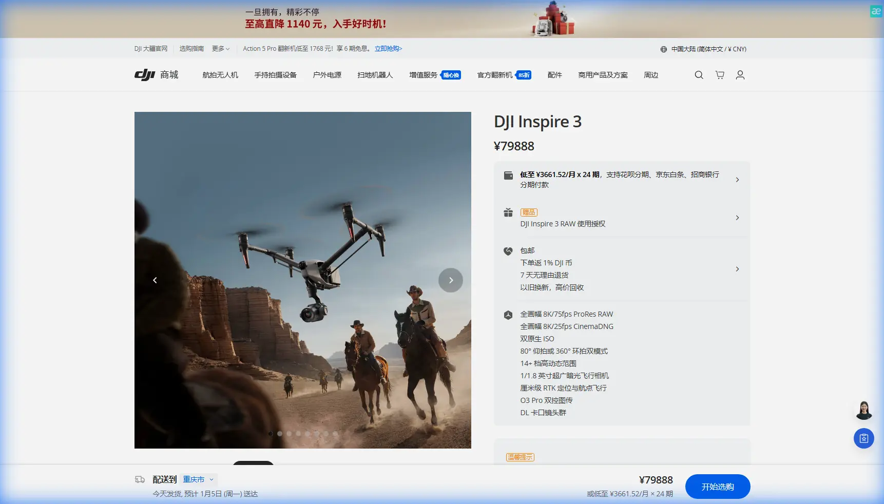
Ready for your own Inspire 3? Contact our team for expert consultation.