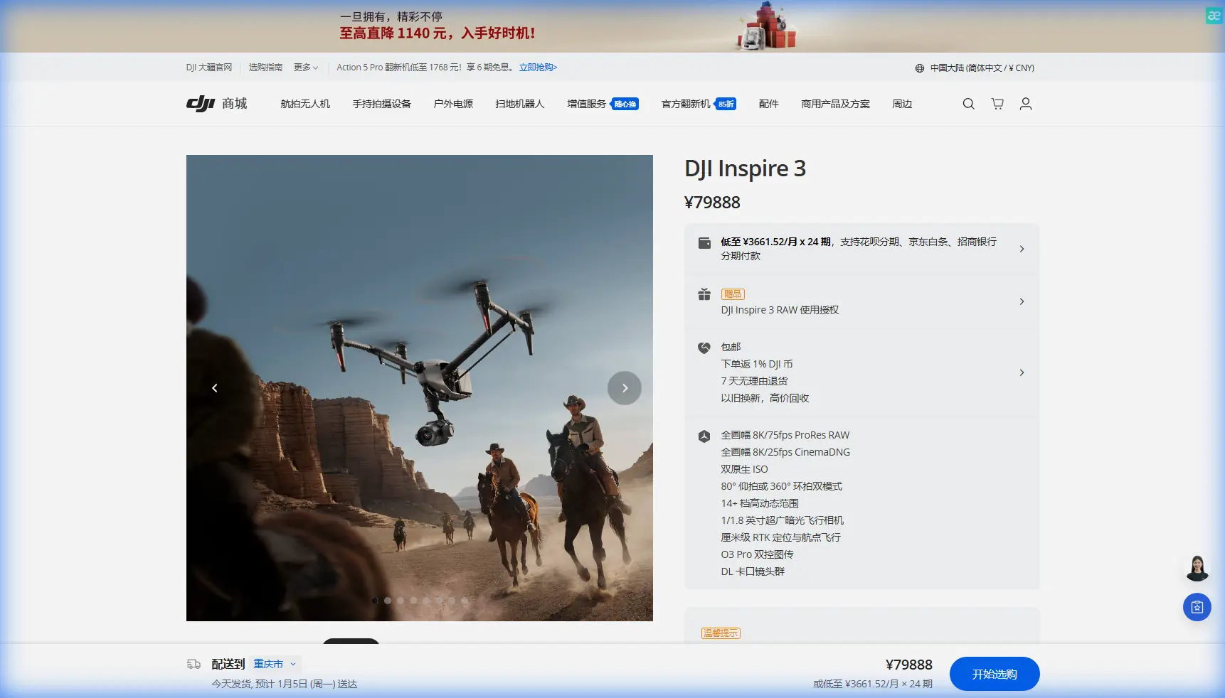
Inspire 3 in Remote Field Surveying: What Actually Matters
Inspire 3 in Remote Field Surveying: What Actually Matters When the Site Is Far From Everything
META: A field-based Inspire 3 case study for remote surveying workflows, covering photogrammetry planning, O3 transmission, antenna positioning, hot-swap batteries, AES-256 security, and operational tactics that reduce downtime.
By Dr. Lisa Wang, Specialist
Remote field surveying sounds clean on paper. Reach the site, launch, collect imagery, process, deliver. In practice, the hardest part is rarely the flight itself. It is maintaining a stable link over uneven ground, managing battery turnover without wasting daylight, and protecting data quality when there is no easy second chance to reshoot.
That is where the Inspire 3 becomes interesting, not as a general-purpose flagship, but as a field system that rewards disciplined operation. For teams surveying large agricultural parcels or isolated land assets, the aircraft’s value comes from how its transmission reliability, battery architecture, and imaging workflow fit together under real constraints.
This article is built around a remote field scenario: a survey crew documenting scattered plots beyond the edge of town, with weak mobile coverage, long travel times, and no tolerance for avoidable mistakes.
The case: a long drive for a narrow weather window
A small survey team is tasked with documenting several remote fields for terrain review and drainage planning. The area is open, but not simple. Slight elevation changes, shelterbelts, irrigation hardware, and intermittent tree lines break sightlines more than the map suggests. Ground control points have been placed the day before. The weather gives them one useful block of calm light before conditions shift.
In this kind of job, the Inspire 3 does not succeed because it is advanced in the abstract. It succeeds if it helps the crew keep the capture sequence moving without compromising alignment, overlap, or link stability.
Two details matter immediately.
First, O3 transmission. In remote survey work, range is only one piece of the story. What matters more is maintaining a dependable control and video link when the aircraft is flying low, crossing irregular terrain, or turning at the edge of a long mapping leg. O3 gives crews more resilience in exactly those moments where a weak link can force an aborted run. A dropped connection in a cinematic flight is frustrating. In a photogrammetry mission, it can create a gap that shows up later in processing, when the drone is already back in the case and the site is hours away.
Second, hot-swap batteries. This sounds like a convenience feature until you use it in remote operations. When battery changes do not force a full system restart, crews preserve momentum. They can land, swap, verify status, and relaunch with less delay. On a site where travel consumed half the morning, saving even several minutes per cycle adds up across multiple field sections. More importantly, reduced interruption helps teams maintain consistent lighting conditions between flight blocks, which improves downstream photogrammetry results.
Why the Inspire 3 fits a field survey workflow even though it is not a one-note mapping platform
Some operators look at the Inspire 3 and think of image production first. That misses the point in mixed-field commercial work. In rural surveying, especially when clients want both measurable orthomosaic output and high-quality contextual visuals, one aircraft that can support structured capture and polished deliverables reduces logistics.
For field teams, photogrammetry is not just about collecting a lot of images. It is about collecting images that solve well. That means disciplined overlap, steady speed, repeatable altitude, and minimal interruptions. If GCPs are part of the workflow, the aircraft’s role is to provide imagery consistent enough that those control points do their job cleanly in processing rather than rescuing a messy dataset.
The Inspire 3 can support that standard when operated like a survey instrument rather than a flying camera. The difference is mindset. Flight lines should be planned around terrain transitions and radio conditions, not just field boundaries. Battery strategy should be tied to mission segmentation. And the crew should know before launch where transmission quality is likely to weaken.
Antenna positioning advice that actually extends useful range
Most range problems in remote agricultural surveying are not caused by a lack of advertised capability. They come from poor antenna discipline at the controller.
Here is the practical rule: do not point the tips of the antennas at the aircraft. Position them so the broad sides of the antennas face the drone. Radio energy does not radiate strongest off the tip. If the aircraft is far downrange and you are aiming the ends directly at it, you may be creating your own weak link.
In open fields, I advise crews to do three things.
1. Build the pilot position around terrain, not convenience
Stand where the local high point gives the clearest line of sight across the longest legs. Even a gentle rise can improve signal behavior. Do not set up beside a truck, metal gate, or machinery if you can avoid it. Those objects can create reflections or simply force you into a poor body position for maintaining antenna orientation.
2. Re-orient as the aircraft changes geometry
A common mistake is locking into one comfortable controller angle at takeoff and never adjusting. On long mapping passes, especially if the drone flies laterally relative to the pilot, antenna geometry changes. Small corrections in controller orientation during the mission can preserve a stronger link than operators expect. It is not dramatic. It is incremental. But those increments matter at the far edge of a field.
3. Keep your own body from becoming the obstruction
I have seen signal quality degrade because the pilot turned slightly to talk to a colleague while the controller remained low against the torso. In remote sites, where every completed line matters, hold the controller clear, keep the antennas unobstructed, and avoid blocking the signal path with your body, vehicle roofline, or equipment cases.
This is where O3 transmission has operational significance beyond marketing language. A robust transmission system gives you a larger margin for small field mistakes. It does not eliminate the need for proper antenna positioning, but it makes good habits pay off more reliably.
Data security is not theoretical in rural survey work
When people hear AES-256, they often think of enterprise IT, not field drones. That is shortsighted. Remote survey missions can involve land development planning, utility corridor assessments, infrastructure documentation, and crop intelligence. The imagery and derived models may represent sensitive commercial information even when the operation itself is entirely civilian.
AES-256 matters because the aircraft is not just collecting pretty pictures. It is carrying site data, route data, and visual records that may feed contracts, engineering decisions, or land-use planning. For survey providers working with private clients, transmission security is part of professional practice. It is one more control layer that supports trust when crews are operating beyond the comfort of office networks and fixed-site infrastructure.
Battery turnover is really about preserving survey continuity
The hot-swap battery system deserves more respect in remote field work because it changes how crews think about sortie planning.
Without hot-swap capability, each battery event becomes a workflow reset. The drone powers down, systems cycle, the crew restarts and rechecks, and the mission rhythm breaks. In isolation, that may not seem costly. Across a long day, especially in a place where daylight, wind, and crew energy are all finite, it creates friction everywhere.
With hot-swap batteries, teams can structure the job into smaller, controlled segments. One block covers the north parcel. Another covers the drainage edge. Another captures obliques for context. The aircraft returns, batteries are exchanged, and the team continues with less idle time. That rhythm supports cleaner data capture and helps maintain focus on GCP visibility, overlap consistency, and field notes.
It also has a safety and planning dimension. In remote areas, the best operators are conservative. They do not stretch every flight to the limit simply because the field is large. They break work into logical sections and preserve battery margins for changing wind or an unexpected go-around. Hot-swap support makes that conservative style more efficient rather than more cumbersome.
What about thermal signature?
For standard photogrammetry, thermal signature is not the primary dataset. Yet it still has operational relevance in field environments. Early morning surveys often involve strong ground-air temperature contrast, moisture variation, and equipment warming in the sun. Understanding thermal behavior can help crews think more clearly about when the aircraft and surrounding environment may affect certain inspection add-ons or contextual captures.
For example, if the same site visit includes a non-survey visual review of irrigation components, drainage anomalies, or heat-emitting equipment, thermal perspectives can complement visible-light records. That does not replace a dedicated thermal platform where one is required, but it does shape how crews schedule work on site. Capture the photogrammetry block when light and shadows are most favorable for reconstruction. Schedule any heat-related observational tasks when thermal contrast is meaningful.
The operational lesson is simple: do not force every objective into one pass. Remote missions benefit when capture modes are sequenced intelligently.
BVLOS pressure exists even when you are not flying BVLOS
BVLOS is often discussed as a regulatory milestone, but remote field crews feel its pressure long before formal beyond-visual-line-of-sight operations enter the picture. Why? Because large parcels tempt operators to stand in one place and try to cover too much ground from a single position.
That is where discipline matters. Even with a strong transmission link, the better workflow is often to move the ground station between sections, maintain stronger geometry, and preserve clear visual conditions. O3 can support confidence. It should not encourage complacency.
In practical terms, if the survey area stretches beyond a comfortable visual and signal envelope from one spot, split the mission. Reposition. Reconfirm home point logic if needed. Review terrain and obstacles again. This is slower only in theory. In reality, it reduces the odds of degraded imagery, weak connection events, or a compromised final model.
The processing side: why field consistency saves office hours
Survey teams sometimes underestimate how much office time is won or lost in the field. Inspire 3 imagery captured with clean overlap, stable exposure behavior, and clear GCP visibility processes faster and with fewer unpleasant surprises. The difference appears later when the software aligns images without strange holes along field edges or mismatches near repetitive crop texture.
Remote agricultural parcels can be deceptively difficult for photogrammetry because large areas may contain repeating patterns, low-feature surfaces, or wind-driven movement. That is why flight discipline matters more than platform hype. If the aircraft’s transmission remains steady, the pilot can hold the mission profile. If battery swaps are fast, the team can maintain timing across adjacent blocks. If data handling is secure, clients are more willing to trust remote workflows with sensitive site information.
Every one of those factors feeds the final deliverable.
A realistic field checklist for Inspire 3 survey crews
Before launch in a remote field environment, I recommend the following priorities:
- Choose pilot position for line of sight, not shade or parking convenience.
- Align antenna broad sides toward the aircraft, and keep adjusting as the mission geometry changes.
- Segment the field into battery-sized blocks rather than trying to clear everything in one continuous effort.
- Verify GCP visibility in sample frames before committing to full capture.
- Treat O3 as a stability asset, not a license to get lazy with positioning.
- Use hot-swap efficiency to preserve consistent lighting windows.
- Handle project data with the professionalism AES-256-level security implies.
- If the site includes secondary inspection goals, separate them from the core photogrammetry mission rather than diluting both.
For teams that want to talk through a remote site layout or controller setup before deployment, you can message our field support contact here.
The broader takeaway
The Inspire 3 is at its best in remote surveying when it is used as a coordinated system, not admired as a premium airframe. O3 transmission helps preserve mission continuity where terrain and distance start to interfere. Hot-swap batteries reduce the downtime that quietly erodes field productivity. AES-256 supports the real-world confidentiality expectations attached to commercial land and infrastructure data. And something as basic as antenna orientation can determine whether those strengths translate into completed flight lines or a frustrating reshoot.
That is the difference between reading specifications and running a successful field day.
For remote agricultural and land survey operations, the aircraft is only part of the answer. The rest is operational discipline: where you stand, how you segment the mission, when you swap, and whether you collect data in a way that will still make sense back at the workstation.
Get those details right, and the Inspire 3 becomes more than capable. It becomes dependable, which is the quality remote crews value most when the site is far from everything.
Ready for your own Inspire 3? Contact our team for expert consultation.