Inspire 3 for Vineyard Surveys in Low Light
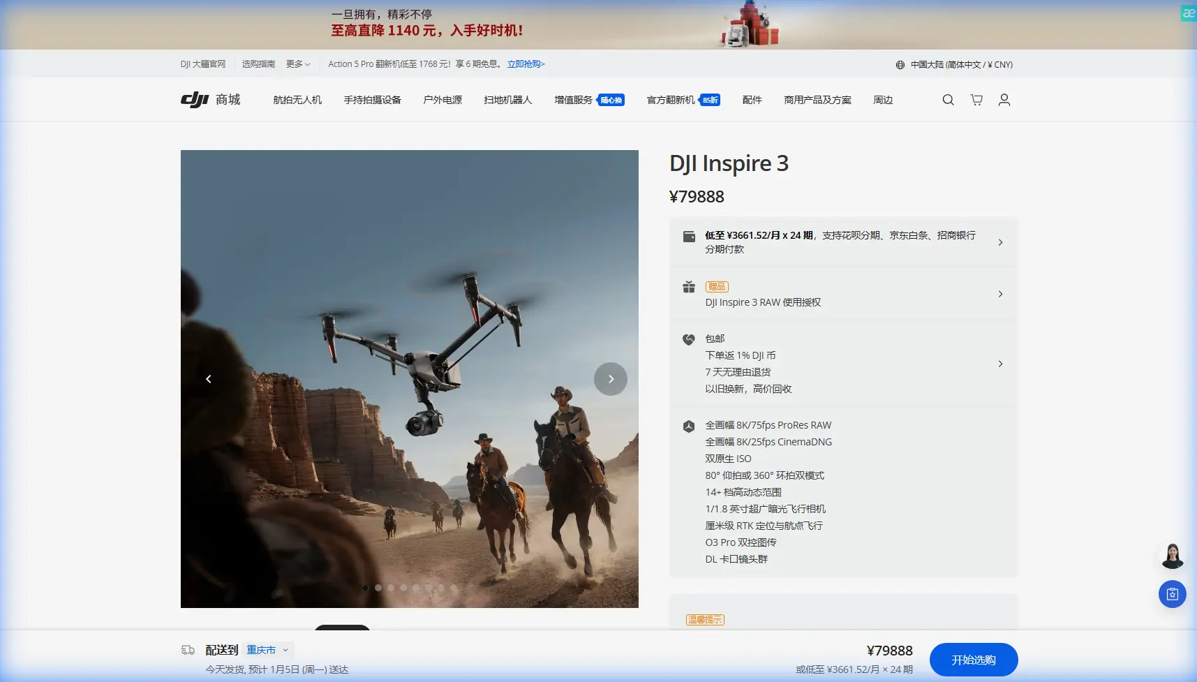
Inspire 3 for Vineyard Surveys in Low Light: A Field Tutorial from Dr. Lisa Wang
META: Expert tutorial on using Inspire 3 for low-light vineyard surveying, with practical workflow notes on photogrammetry, GCP strategy, transmission reliability, battery management, and why disciplined aircraft design principles matter in real operations.
A vineyard at dawn is beautiful until you have to map it.
That was the lesson from one of my more frustrating jobs a few seasons ago. The client wanted a repeatable survey of vine vigor, row alignment, drainage behavior, and edge encroachment before direct sun flattened the subtle contrast on the ground. We had a narrow weather window, patchy fog, and a site with uneven terrain that interrupted line of sight at the worst possible moments. The aircraft we were using at the time could technically fly the mission. The problem was consistency. Low light exposed every weakness: unstable image rhythm, awkward battery swaps, fragile planning assumptions, and too much dependence on ideal field conditions.
That experience is why I look at the Inspire 3 differently from people who see it only as a cinema platform. In vineyard work, especially in low light, the real value is not glamour. It is design discipline. Good surveying outcomes come from systems that behave predictably when the environment becomes less forgiving.
This article is a practical guide to using Inspire 3 in that setting: early-morning vineyard survey operations where light is weak, terrain is irregular, and every minute before the sun climbs matters.
Why low-light vineyard surveying is hard
Low-light work sounds simple on paper. Fly early, avoid harsh shadows, collect cleaner visual data. In reality, vineyards create a set of optical and operational problems:
- repetitive row geometry can confuse weak image overlap planning
- damp soil and leaf surfaces change reflectance from one block to the next
- narrow service roads and trellis infrastructure complicate takeoff and recovery
- hills, trees, and building lines interfere with transmission quality
- short timing windows raise pressure during battery changes
The first mistake many teams make is treating this as a camera problem alone. It is a systems problem. Aircraft endurance, image stability, transmission resilience, data security, and field workflow all affect whether your photogrammetry set is usable.
That is where the Inspire 3 starts to earn its place.
What makes the Inspire 3 useful here
For vineyard surveys, I care less about headline specs than about how the platform reduces friction during a mission. The Inspire 3’s O3 transmission matters because vineyards are rarely as open as they look from the road. Rows stretch neatly, but terrain folds, tree belts, utility structures, and winery buildings create pockets where link reliability becomes critical. Strong transmission does not just help the pilot; it protects data continuity. If you have to interrupt a run or alter your path unexpectedly because the link degrades, overlap quality suffers.
AES-256 also deserves more attention than it usually gets in agricultural discussions. Survey data from vineyards can contain sensitive operational information: drainage weaknesses, block boundaries, access roads, infrastructure layouts, even yield-related patterns when combined with other datasets. Secure transmission is not a theoretical extra. It helps responsible operators protect client information during capture and review.
Then there is the battery workflow. Hot-swap batteries sound like a convenience feature until you are trying to preserve a dawn survey sequence. In a low-light mission, the quality of the dataset can shift fast as ambient light rises. If the aircraft can be turned around quickly without a prolonged reboot and setup cycle, you keep your visual conditions closer across sorties. That consistency improves downstream alignment and interpretation.
A note from aircraft design that still matters in the field
The reference material I was given is not about the Inspire 3 specifically. One source is a standards and standard-parts handbook page filled with baseline dimensions and tolerance-style tables. Another addresses helicopter design costing, including test expenses, specialized tooling, and shared equipment allocation. At first glance, neither seems connected to a vineyard survey. In practice, both point to something serious operators should understand: reliable aircraft performance is built on standardization and verification, not luck.
The standards handbook includes dimensional series such as 100, 140, 160, 180, 200, 225, 250, 315, and 450, with associated step changes reaching values like +208, +330, +408, and +723 in the table. You do not need to decode every line to grasp the operational significance. Aerospace systems depend on controlled dimensional logic. Parts, interfaces, load paths, and assemblies work because they are designed around repeatable standards rather than improvised fit. In drone operations, that translates into something very practical: when an airframe behaves consistently, your mission planning assumptions hold up better. Gimbal clearance, battery seating, landing posture, and vibration control are not abstract engineering topics when you are trying to extract clean low-light imagery over repeating vine rows.
The helicopter design document makes the second point even more clearly. It separates out test expenses, including process tests, simulation tests, reliability tests, staged tests, and flight tests, and it also states that fixed-asset usage can be calculated using 5% of research equipment original value plus 25% of research building original value. Again, this is not about copying helicopter accounting into drone work. It is about mindset. Mature aerial platforms are expensive to validate because testing is what turns a machine into a dependable tool. For the field operator, the lesson is straightforward: trust platforms that reflect a culture of verification, and run your own workflows the same way. Vineyard survey quality improves when every mission is treated as a repeatable testable process.
My recommended Inspire 3 workflow for vineyard surveys before sunrise
Let me break this down into the way I actually run a mission.
1. Define the survey objective before touching the aircraft
“Survey the vineyard” is not an objective.
You need to decide whether the mission is for:
- block boundary documentation
- terrain and drainage interpretation
- canopy uniformity review
- infrastructure inventory
- seasonal change comparison
- support imagery for broader photogrammetry deliverables
If the output is orthomosaic consistency, your flight pattern and GCP placement will differ from a mission aimed at visual inspection of stress zones. If thermal signature analysis is part of the wider program, you also need to be honest about what the payload can and cannot provide in that session. Too many teams blur visual photogrammetry and thermal expectations into one rushed early-morning flight.
2. Walk the site in the dark, not after sunrise
I prefer arriving while it is still dim enough to expose hazards that disappear later under routine daylight confidence. Trellis wires, irrigation heads, muddy vehicle tracks, and local RF noise sources all show up differently when the field is quiet and the site is not yet active.
This is also when I confirm takeoff and recovery points for the Inspire 3. A high-end aircraft still needs a disciplined ground footprint. In vineyards, compact setup areas can force compromises; I avoid launching from places where dew, dust, or slope can complicate landing gear behavior or crew movement.
3. Place GCPs where the light helps, not where it is convenient
GCP strategy is often the quiet difference between a survey that looks acceptable and one that stands up in review.
In low light, I place GCPs where they will maintain contrast through the first flight window, not merely where they are easy to drop from the truck. Vineyard geometry can create deceptive repetition. If your control points are too visually similar to surrounding features or too heavily shadowed, your photogrammetry workflow becomes harder than it needs to be.
I also avoid clustering GCPs near obvious access points. Spread them across elevation changes, end rows, and transition zones between blocks. In vineyards, those are often the places where stitching errors or interpretive mistakes show up first.
4. Build the mission around consistency, not maximum coverage
Operators under time pressure often try to squeeze too much area into the best light. That is a mistake.
With the Inspire 3, I would rather capture fewer hectares with stable overlap and uniform exposure than rush a broad site and spend the afternoon discovering weak tie points. The aircraft’s transmission confidence through O3 gives you more freedom around terrain interruptions, but it does not repeal the basics of good data capture. Keep altitude, speed, and turn behavior conservative enough to preserve image discipline.
If you are working under a BVLOS framework authorized in your jurisdiction, your procedures must stay aligned with local rules, observer protocols, and risk controls. The aircraft capability is only one piece of the equation. For many vineyard sites, operations remain more practical and cleaner within well-managed visual-line workflows, especially around trees and built structures.
5. Use hot-swap batteries to preserve light continuity
This is where Inspire 3 becomes especially pleasant in the field.
On a low-light mission, every battery transition changes the survey environment a little. The goal is not merely to get airborne again; it is to resume with as little interruption to the lighting progression as possible. Hot-swap battery handling shortens downtime and reduces the need to rebuild operational rhythm from scratch.
That matters for two reasons:
- your imagery stays closer in tone and shadow character between sorties
- your crew avoids the creeping errors that appear when a rushed restart breaks concentration
I train teams to treat battery exchange as a data-quality step, not just a power step.
6. Monitor transmission behavior as a mapping variable
In vineyards with rolling terrain, signal quality can tell you where your assumptions are wrong before the imagery does.
If O3 link conditions begin fluctuating around a tree belt or a building edge, that is not just a piloting note. It may indicate a segment where mission geometry, observer placement, or route segmentation should change next time. Low-light surveys reward operators who document these patterns. A better second mission often comes from transmission notes as much as from image review.
7. Protect client data in the field
I mentioned AES-256 earlier because agricultural survey teams often underplay information security. They should not.
If you are mapping a commercial vineyard, your data can reveal operational details that the owner considers sensitive. Block conditions, access layout, water movement, and infrastructure bottlenecks all have business implications. Secure transmission is part of professional handling, but so is disciplined file management on the ground. Label media clearly, sync methodically, and avoid casual sharing through unsecured devices.
If you want to discuss secure field workflows with a specialist before building your own procedure, this direct WhatsApp line is the simplest place to start: https://wa.me/85255379740
Where Inspire 3 helps most in real vineyard work
After using many aircraft classes across survey and inspection jobs, I would sum up Inspire 3’s value in this niche like this:
It reduces the number of small operational frictions that usually compound in low light.
That includes:
- faster continuity between sorties through hot-swap battery operation
- better confidence in transmission through uneven vineyard terrain with O3
- stronger data stewardship through AES-256
- enough overall platform refinement to support disciplined repeat missions
What it does not do is replace survey judgment. You still need good GCP placement, realistic mission sizing, clean overlap logic, and a crew that understands light.
A final field lesson
The vineyard job I mentioned at the start taught me something I still repeat to trainees: poor dawn surveys are usually lost before takeoff. Not because the drone is incapable, but because the workflow is loose.
That is also why those dry aerospace reference documents matter more than they seem. The standards handbook, with its dimensional progressions reaching values like 315 and 450 and tolerance-style increments extending to +723, reflects a culture of controlled design. The helicopter design text, with explicit treatment of reliability testing and formulas such as shared fixed-asset usage based on 5% and 25%, reflects a culture of disciplined validation and cost realism. In the field, those same principles become practical habits: standardize your setup, test your assumptions, document what changed, and build repeatability into every sortie.
That is how Inspire 3 becomes more than a premium aircraft. It becomes a reliable survey instrument for demanding early-morning vineyard work.
Ready for your own Inspire 3? Contact our team for expert consultation.