Inspire 3 for Wildlife Survey Work in Dusty Conditions
Inspire 3 for Wildlife Survey Work in Dusty Conditions: A Practical Field Method That Prioritizes Stability and Data Integrity
META: Expert how-to guide for using Inspire 3 in dusty wildlife survey missions, with field workflow, mid-flight weather handling, and lessons from aviation control and reliability design.
Wildlife survey work punishes weak workflows long before it punishes weak aircraft.
Dust gets into every decision. Wind shifts without warning. Light changes faster than the briefing suggested. And when animals move across open ground, the cost of a missed pass is not just a blurred clip or an incomplete map. It can mean a broken count, a compromised habitat record, or a return trip that disturbs the site all over again.
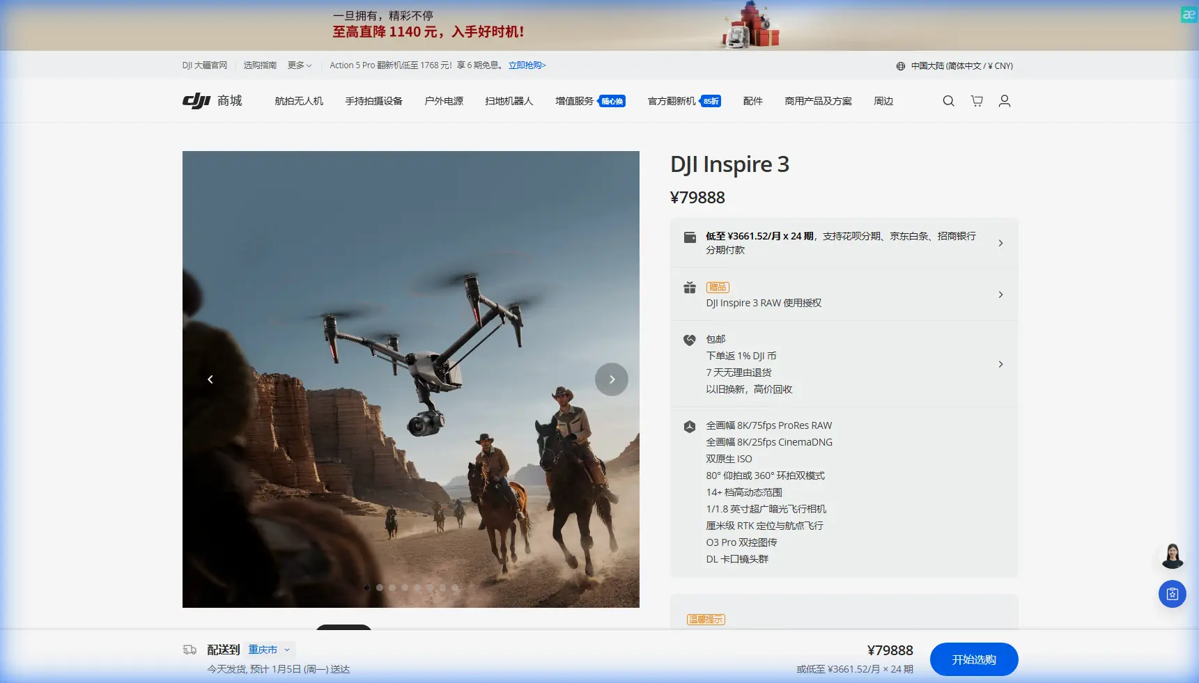
The Inspire 3 is not a purpose-built survey drone in the same mold as a dedicated mapping platform, yet in experienced hands it becomes a highly capable aerial data tool for wildlife observation, corridor documentation, habitat edge review, and repeatable visual survey missions. The key is not treating it like a cinema aircraft that happens to fly over nature. The key is building the mission around control discipline, sensor confidence, and contingency logic.
That last part matters more than most operators admit.
I want to frame this guide around two aviation ideas that translate surprisingly well to Inspire 3 fieldwork. The first comes from flight control research on turbulent wake environments: safe operations depend on planned trajectories and different control strategies at different relative positions, especially when disturbed air and changing conditions affect the aircraft. The second comes from reliability design: essential loads must remain supported under failure conditions, and warning systems should help the crew correct problems without creating new ones.
Those ideas were written for larger aircraft, but the operational lesson is universal. In dusty wildlife survey work, your aircraft, crew, batteries, data links, and recovery plan all need to behave as one system.
Start with the mission geometry, not the camera
A common mistake with Inspire 3 wildlife work is beginning with lens choice, frame rate, or thermal discussion before defining the actual flight path logic.
That is backwards.
The reference material on automated flight control stresses pre-planned trajectories because close-proximity flight in disturbed air is safety-critical. One detail stands out: a structured approach sequence was defined using specific relative positions, including a height separation of about 300 meters initially, then a descent to 150 meters, followed by speed matching and controlled closure from around 1,800 meters behind. You are obviously not replicating an aerial refueling profile with an Inspire 3, but the operational significance is clear: complex aerial tasks are safer when the aircraft transitions through distinct, pre-decided phases instead of improvising continuously.
For wildlife surveying, that means dividing the mission into four practical segments:
- Transit phase: get to the survey block cleanly and efficiently.
- Stand-off assessment phase: observe dust movement, wind direction, animal behavior, and radio quality before committing to the pattern.
- Data capture phase: fly repeatable lines or orbits with stable height and speed.
- Exit phase: leave the area on a route that avoids unnecessary disturbance and preserves battery margin.
This sounds simple, but it changes how the Inspire 3 is used. You stop “flying around looking for subjects” and start managing a controlled aerial survey.
Dust changes more than visibility
Dust is usually discussed as a maintenance issue. It is that, but the real problem begins in the air.
The air behind any lifting surface is not clean. The source material describes aircraft wake as a turbulent flow field and breaks wingtip vortex behavior into a lifecycle with four stages: formation, stable phase, weakening, and dissipation. It also notes that crosswinds can push vortices laterally. Again, your Inspire 3 is not flying behind a tanker, but the lesson transfers directly to low-altitude wildlife work in dry terrain.
What does that mean in practice?
Dust reveals airflow you would otherwise ignore. On a hot, dry day, surface heating, crosswind drift, and terrain-driven turbulence can produce pockets of unstable air that are easy to see because the dust makes them visible. If you watch a plume peel sideways across a scrub plain, you are seeing exactly why a neat survey line on the tablet can become a less neat line in reality.
With Inspire 3, that matters for three reasons:
- Image consistency: even slight instability can degrade overlapping imagery for photogrammetry.
- Animal disturbance: repeated corrections and low passes can alter animal movement.
- Battery forecasting: fighting gusts drains reserves faster than the plan suggests.
When weather changed mid-flight on one dusty wildlife corridor mission I supervised, the first sign was not a warning on-screen. It was a diagonal drift in loose topsoil along the eastern edge of the survey area. Minutes later, the aircraft began working harder to hold track on a broadside leg. We were still within acceptable control margins, but the mission had already changed.
The right response was not heroic flying. It was phase logic.
We shortened the capture block, shifted to a more wind-friendly line direction, and reduced unnecessary repositioning. The Inspire 3 handled the change well because the crew had enough reserve, the route was structured, and the pilot was not trying to salvage every planned frame from the original concept.
Build an Inspire 3 wildlife survey workflow around “essential loads”
The reliability reference emphasizes that critical systems must continue supporting essential loads even after failures in power sources or conversion chains. In full-scale aviation, that is a design requirement. In drone fieldwork, it should become an operational mindset.
On an Inspire 3 wildlife mission, your essential loads are not just electrical. They are functional:
- Flight control authority
- Position awareness
- Command and video link
- Sufficient image quality for the survey objective
- Safe recovery margin
- Crew understanding of warnings and corrective actions
This is where features such as hot-swap batteries become more than a convenience. They reduce turnaround friction between sorties and help maintain mission continuity without rushing relaunch decisions. In wildlife survey work, that matters because a rushed relaunch often leads to skipped lens cleaning, missed GCP verification, or careless wind reassessment.
If your survey includes photogrammetry, do not assume the Inspire 3’s image quality alone will rescue poor ground control. A well-laid GCP set still anchors the mission when terrain texture is repetitive or dusty surfaces reduce visual distinctiveness. If the brief includes thermal signature work at dawn or dusk, remember that thermal interpretation can become less reliable once the ground starts radiating unevenly after sunrise, especially in dry environments where heat contrast evolves quickly.
In other words: essential load thinking forces you to ask what absolutely must remain trustworthy for this specific mission.
Mid-flight weather changes: what the aircraft can do, and what the pilot must do
The temptation with a premium platform is to believe the aircraft will absorb every environmental problem. Inspire 3 is excellent, but weather logic still belongs to the operator.
The reference material on control strategy highlights multi-modal control laws and the need to adapt behavior based on relative position and disturbance. That principle translates nicely to field operations: one set of pilot inputs and one route style should not be used for all conditions.
Here is a practical weather-change response method for Inspire 3 wildlife surveys:
1. Confirm whether the change is local or area-wide
Dust plumes, vegetation movement, and telemetry trends tell different stories. A brief gust over a ridge is different from a broad wind shift across the full grid.
2. Reclassify the mission objective
Ask whether you still need:
- full orthographic coverage,
- selective habitat imagery,
- behavioral observation footage,
- or just enough data to preserve continuity for a later return.
Do not keep flying a mapping pattern if the mission has effectively become a reconnaissance recovery of key evidence.
3. Change line direction before changing altitude
In dusty wind, course geometry often solves more problems than trying to brute-force stability with a height change alone. If a crosswind is pushing the aircraft off line, a reoriented pattern can reduce correction loads and improve overlap consistency.
4. Protect the downlink
If you are running long-range visual survey work where O3 transmission quality is central to confidence, don’t spend link margin carelessly. Terrain, dust haze, and changing antenna geometry can all erode clarity at the worst moment. Stable command-and-monitoring discipline matters more than squeezing one more pass out of the battery.
5. Be honest about recoverability
Aviation reliability guidance places heavy emphasis on warnings that lead to appropriate corrective action. That is exactly how Inspire 3 alerts should be treated. If the aircraft is telling you conditions, power state, or system confidence are degrading, the right answer is often to simplify the mission immediately.
Transmission security and remote wildlife workflows
Some wildlife jobs now involve sensitive location data, especially for protected species or nesting sites. That makes transmission security more than a corporate IT footnote.
If your operating concept includes sending live view or coordinating with remote ecologists, secure transport matters. AES-256 and disciplined data handling reduce exposure when site coordinates, animal concentrations, or habitat access points are sensitive. This becomes even more relevant when the survey area is far from the launch point and the team is discussing BVLOS frameworks or extended visual workflows under local rules and approvals.
That does not mean pushing beyond regulations. It means recognizing that the communication architecture is part of survey quality. If the stream drops, stutters, or becomes untrustworthy, decision-making degrades with it.
Camera strategy for wildlife: don’t oversell resolution, define the output
Inspire 3 gives you enough imaging flexibility to serve several wildlife survey roles, but the output requirement should dictate the setup.
For example:
- Habitat edge documentation benefits from stable oblique passes and repeatable composition.
- Count support imagery needs clarity, timing, and minimal disturbance rather than cinematic movement.
- Photogrammetry needs overlap discipline, speed control, and dependable ground reference.
- Thermal signature review depends on timing, atmospheric stability, and calibrated expectations, not just sensor enthusiasm.
Dust complicates all of them. It reduces contrast, contaminates optics, and can flatten the scene visually. That is why I recommend a pre-sortie “clean lens, check horizon, confirm route” ritual before every relaunch. It sounds basic. It saves surveys.
Field discipline is what makes Inspire 3 usable in survey roles
I have seen technically strong pilots ruin otherwise good wildlife data by treating every sortie as a one-off performance. The more repeatable your workflow, the more useful the Inspire 3 becomes.
A practical field checklist looks like this:
- Define the minimum usable dataset before takeoff.
- Place and verify GCPs if the job includes measurable outputs.
- Watch dust movement for two or three minutes before launch.
- Establish an abort point based on battery and wind, not optimism.
- Keep the first pass observational if the site is active with animals.
- Adjust route geometry when the weather shifts.
- Land with enough margin to inspect, clean, and relaunch deliberately.
If you are building a survey program and want a field-ready workflow tuned to your terrain and crew, you can message our operations desk here.
What Inspire 3 does especially well in this role
The Inspire 3 earns its place in wildlife survey work when the mission needs a mix of image quality, responsive flight handling, and operational flexibility across changing light or changing weather. It is especially useful when one day’s task spans documentation, observational footage, and structured capture rather than a single narrow output.
But the aircraft is only half the story.
The real value comes from using it with the same discipline implied by the reference materials: pre-planned phase transitions, different control logic for different conditions, recognition of disturbed airflow, and a hard commitment to essential system continuity. Those are not abstract aviation concepts. They are the difference between a clean dataset and a compromised one.
And in dusty wildlife environments, compromise usually starts small. A little drift. A little haze. A little extra power draw. Then the route loosens, the overlap suffers, the animals shift, and the sortie becomes harder to trust.
Inspire 3 can handle more than people think. What it cannot do is replace judgment.
If you bring structured planning, conservative weather logic, careful battery management, secure transmission practices, and disciplined relaunch habits, it becomes a serious tool for wildlife survey operations. Not because it was marketed that way, but because the platform rewards crews who think like system managers rather than camera operators.
Ready for your own Inspire 3? Contact our team for expert consultation.